12301 E Soapstone Rd Palmer, AK 99645
Buffalo Soapstone NeighborhoodEstimated Value: $183,000 - $475,000
2
Beds
1
Bath
1,024
Sq Ft
$357/Sq Ft
Est. Value
About This Home
This home is located at 12301 E Soapstone Rd, Palmer, AK 99645 and is currently estimated at $365,824, approximately $357 per square foot. 12301 E Soapstone Rd is a home located in Matanuska-Susitna Borough with nearby schools including Palmer High School, Sherrod Elementary School, and Palmer Middle School.
Ownership History
Date
Name
Owned For
Owner Type
Purchase Details
Closed on
Oct 28, 2020
Sold by
Farrington Patrick T and Farrington Katherine F
Bought by
Tilbury Sarah and Tilbury Zachary
Current Estimated Value
Home Financials for this Owner
Home Financials are based on the most recent Mortgage that was taken out on this home.
Original Mortgage
$259,920
Outstanding Balance
$231,292
Interest Rate
2.8%
Mortgage Type
New Conventional
Estimated Equity
$134,532
Create a Home Valuation Report for This Property
The Home Valuation Report is an in-depth analysis detailing your home's value as well as a comparison with similar homes in the area
Home Values in the Area
Average Home Value in this Area
Purchase History
| Date | Buyer | Sale Price | Title Company |
|---|---|---|---|
| Tilbury Sarah | -- | First American Title Ins Co |
Source: Public Records
Mortgage History
| Date | Status | Borrower | Loan Amount |
|---|---|---|---|
| Open | Tilbury Sarah | $259,920 |
Source: Public Records
Tax History
| Year | Tax Paid | Tax Assessment Tax Assessment Total Assessment is a certain percentage of the fair market value that is determined by local assessors to be the total taxable value of land and additions on the property. | Land | Improvement |
|---|---|---|---|---|
| 2025 | $4,518 | $337,050 | $45,600 | $291,450 |
| 2024 | $4,518 | $318,350 | $45,600 | $272,750 |
| 2023 | $4,237 | $305,550 | $45,600 | $259,950 |
| 2022 | $4,069 | $279,450 | $45,600 | $233,850 |
| 2021 | $3,998 | $251,050 | $45,600 | $205,450 |
| 2020 | $3,954 | $241,350 | $45,600 | $195,750 |
| 2019 | $3,897 | $236,050 | $45,600 | $190,450 |
| 2018 | $3,722 | $226,550 | $45,600 | $180,950 |
| 2017 | $3,481 | $211,850 | $32,300 | $179,550 |
| 2016 | $1,713 | $213,350 | $32,300 | $181,050 |
| 2015 | $2,907 | $209,750 | $32,300 | $177,450 |
| 2014 | $2,907 | $206,450 | $32,300 | $174,150 |
Source: Public Records
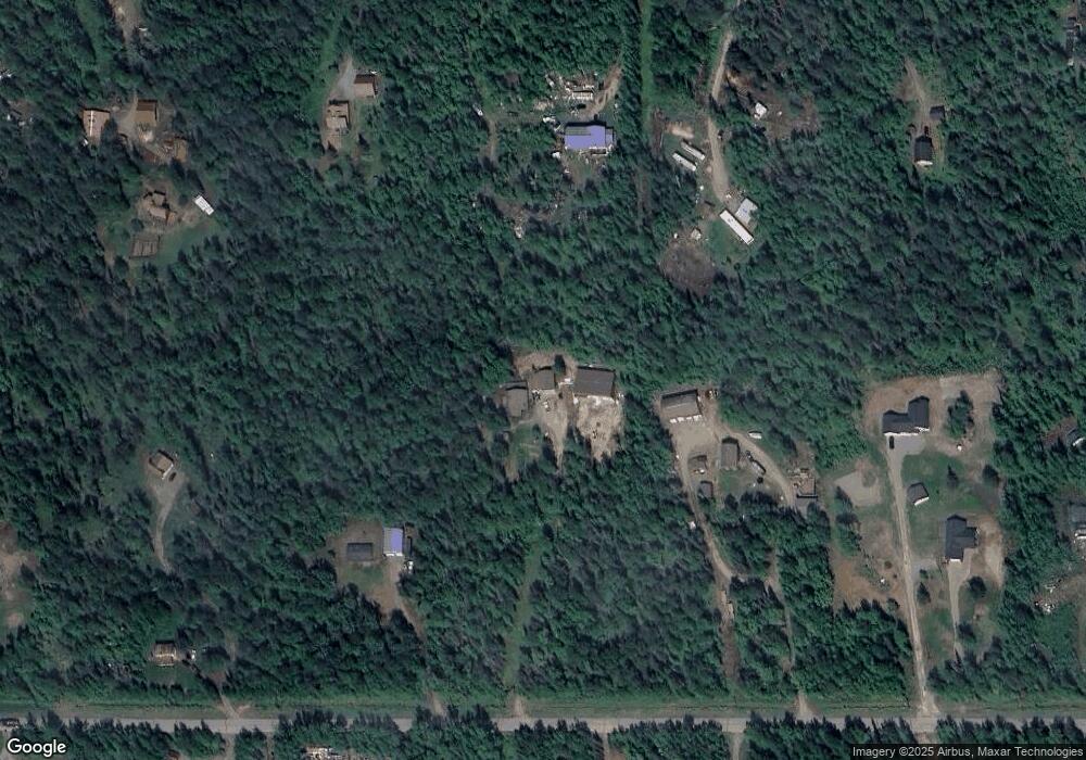
Map
Nearby Homes
- 11150 E Yarrow Rd
- 10343 E Mystical View Cir
- 10407 E Arkose Peak Dr
- 5403 N Sandalwood Ln
- 13901 E Mike's Ln
- 9300 N Hillside Dr
- 9883 E Ariel Dr
- L3 N Peters Dr
- 6918 N Jeremiel Cir
- 4493 N Ryder Dr
- 4506 N Ryder Dr
- 4450 N Glenn Hwy
- 4302 Jana Dr
- 9100 E Gordy Dr
- 5689 Stefan Ln
- 4301 N Farm Loop
- 5747 N Cunningham Rd
- 4020 N Palmer Fishhook Rd
- L7 B5 Alpine View Dr
- 6970 N Radiant Dawn Cir
- 12401 E Soapstone Rd
- 12251 E Soapstone Rd
- 12400 E Norman Ave
- 12300 E Norman Ave
- 12250 E Norman Ave
- 12201 E Soapstone Rd
- 12501 E Soapstone Rd
- 12300 E Soapstone Rd
- 12200 E Norman Ave
- 12500 E Norman Ave
- B2 L1 No Road Name Corner Lot
- 12401 E Norman Ave
- 12101 E Soapstone Rd
- 12251 E Norman Ave
- 12200 E Soapstone Rd
- 12551 E Soapstone Rd
- 12301 E Norman Ave
- 12201 E Norman Ave
- 12100 E Soapstone Rd
- 12501 E Norman Ave
Your Personal Tour Guide
Ask me questions while you tour the home.