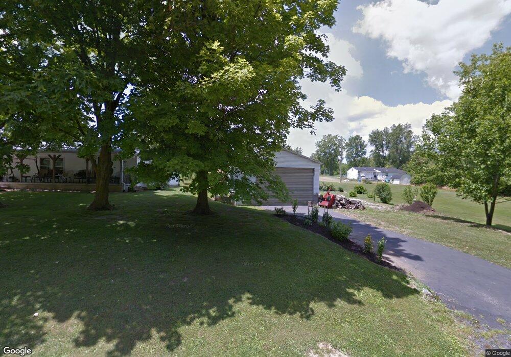
1231 Carl Rd Mansfield, OH 44906
Estimated Value: $80,000 - $141,000
About This Home
This home is located at 1231 Carl Rd, Mansfield, OH 44906 and is currently estimated at $115,614. 1231 Carl Rd is a home located in Richland County with nearby schools including Foundation Academy, Mansfield Elective Academy, and Goal Digital Academy.
Ownership History
We collect this data history from publicly available records. To have your information removed, we recommend requesting removal directly through your county’s website.
Purchase Details
Purchase Details
Purchase Details
Home Values in the Area
Average Home Value in this Area
Purchase History
We collect this data history from publicly available records. To have your information removed, we recommend requesting removal directly through your county’s website.
| Date | Buyer | Sale Price | Title Company |
|---|---|---|---|
| -- | Accommodation | ||
| -- | None Available | ||
| -- | -- |
Tax History
We collect this data history from publicly available records. To have your information removed, we recommend requesting removal directly through your county’s website.
| Year | Tax Paid | Tax Assessment Tax Assessment Total Assessment is a certain percentage of the fair market value that is determined by local assessors to be the total taxable value of land and additions on the property. | Land | Improvement |
|---|---|---|---|---|
| 2025 | $91 | $1,910 | $1,230 | $680 |
| 2024 | $91 | $1,910 | $1,230 | $680 |
| 2023 | $91 | $1,910 | $1,230 | $680 |
| 2022 | $101 | $1,770 | $1,090 | $680 |
| 2021 | $102 | $1,770 | $1,090 | $680 |
| 2020 | $104 | $1,770 | $1,090 | $680 |
| 2019 | $172 | $2,640 | $1,090 | $1,550 |
| 2018 | $170 | $2,640 | $1,090 | $1,550 |
| 2017 | $169 | $2,640 | $1,090 | $1,550 |
| 2016 | $172 | $2,660 | $1,040 | $1,620 |
| 2015 | $164 | $2,660 | $1,040 | $1,620 |
| 2014 | $162 | $2,660 | $1,040 | $1,620 |
| 2012 | $65 | $2,790 | $1,090 | $1,700 |
Map
- 1082 Country Club Dr
- 848 Springmill St
- 981 Benedict Ave
- 1041 Burger Ave
- 891 Springmill Rd
- 673 Armstrong St
- 926 Lenox Ave
- 990 N Trimble Rd
- 0 Highway 30
- 395 Cairns Rd
- 655 Bowman St
- 0 Grant Rd Unit 5190994
- 1150 Caldwell St
- 688 Mcpherson St
- 743 Concord Ave
- 495 Johns Ave
- 375 Mcpherson St
- 425 Mcpherson St
- 580 N Mulberry St
- 524 Lida St
Ask me questions while you tour the home.