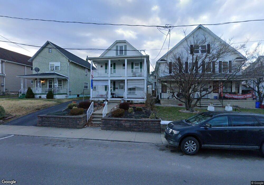
1231 Providence Rd Scranton, PA 18508
Tripp's Park NeighborhoodEstimated Value: $153,821 - $184,000
Studio
--
Bath
2,762
Sq Ft
$61/Sq Ft
Est. Value
About This Home
This home is located at 1231 Providence Rd, Scranton, PA 18508 and is currently estimated at $168,955, approximately $61 per square foot. 1231 Providence Rd is a home located in Lackawanna County with nearby schools including Isaac Tripp Elementary School, Northeast Scranton Intermediate School, and Scranton High School.
Ownership History
Date
Name
Owned For
Owner Type
Purchase Details
Closed on
Feb 12, 2025
Sold by
Gething John A and Gething Margaret
Bought by
Bevny Robert A
Current Estimated Value
Home Financials for this Owner
Home Financials are based on the most recent Mortgage that was taken out on this home.
Original Mortgage
$120,000
Outstanding Balance
$118,686
Interest Rate
7.04%
Mortgage Type
New Conventional
Estimated Equity
$50,269
Purchase Details
Closed on
Aug 23, 2013
Sold by
Gething William and Gething Mary Ann
Bought by
Gething John A
Create a Home Valuation Report for This Property
The Home Valuation Report is an in-depth analysis detailing your home's value as well as a comparison with similar homes in the area
Home Values in the Area
Average Home Value in this Area
Purchase History
We collect this data history from publicly available records. To have your information removed, we recommend requesting removal directly through your county’s website.
| Date | Buyer | Sale Price | Title Company |
|---|---|---|---|
| Bevny Robert A | $150,000 | None Listed On Document | |
| Gething John A | -- | None Available |
Source: Public Records
Mortgage History
We collect this data history from publicly available records. To have your information removed, we recommend requesting removal directly through your county’s website.
| Date | Status | Borrower | Loan Amount |
|---|---|---|---|
| Open | Bevny Robert A | $120,000 |
Source: Public Records
Tax History
| Year | Tax Paid | Tax Assessment Tax Assessment Total Assessment is a certain percentage of the fair market value that is determined by local assessors to be the total taxable value of land and additions on the property. | Land | Improvement |
|---|---|---|---|---|
| 2026 | $25,843 | $161,530 | $25,130 | $136,400 |
| 2025 | $3,445 | $10,000 | $2,750 | $7,250 |
| 2024 | $3,163 | $10,000 | $2,750 | $7,250 |
| 2023 | $3,163 | $10,000 | $2,750 | $7,250 |
| 2022 | $3,094 | $10,000 | $2,750 | $7,250 |
| 2021 | $3,094 | $10,000 | $2,750 | $7,250 |
| 2020 | $3,041 | $10,000 | $2,750 | $7,250 |
| 2019 | $2,865 | $10,000 | $2,750 | $7,250 |
| 2018 | $2,865 | $10,000 | $2,750 | $7,250 |
| 2017 | $2,818 | $10,000 | $2,750 | $7,250 |
| 2016 | $1,006 | $10,000 | $2,750 | $7,250 |
| 2015 | $2,156 | $10,000 | $2,750 | $7,250 |
| 2014 | -- | $10,000 | $2,750 | $7,250 |
Source: Public Records
Map
Nearby Homes
- 1229 Providence Rd
- 1248 Providence Rd
- 817 Court St
- 724 Court St
- 1132 Lloyd St
- 1406 N Main Ave
- 1430 N Main Ave
- 1436 Church Ave
- 1438 Church Ave Unit 1440
- 1121 Albright Ave
- 1402 N Rebecca Ave
- 1057 Euclid Ave
- 1108-1110 Albright Ave
- 1425 N Rebecca Ave
- 514 Albion St
- 1438 Hawthorne St
- 941 N Main Ave
- 1429 Hawthorne St
- 1413 Bulwer St
- 1513 Meylert Ave
- 1235 Providence Rd
- 1237 Providence Rd
- 1232 N Main Ave
- 1234 N Main Ave
- 1230 N Main Ave
- 1225 Providence Rd
- 1240 Providence Rd Unit 1246
- 1226 N Main Ave
- 1221 Providence Rd
- 1224 N Main Ave
- 1236 Providence Rd
- 0 Providence Rd Unit GSB012389
- 0 Providence Rd Unit GSB008813
- 1233 Providence Rd
- 1222 N Main Ave
- 1219 Providence Rd
- 1230 Providence Rd Unit 2
- 1230 Providence Rd Unit 1
- 1230 Providence Rd
- 1220 N Main Ave
Your Personal Tour Guide
Ask me questions while you tour the home.