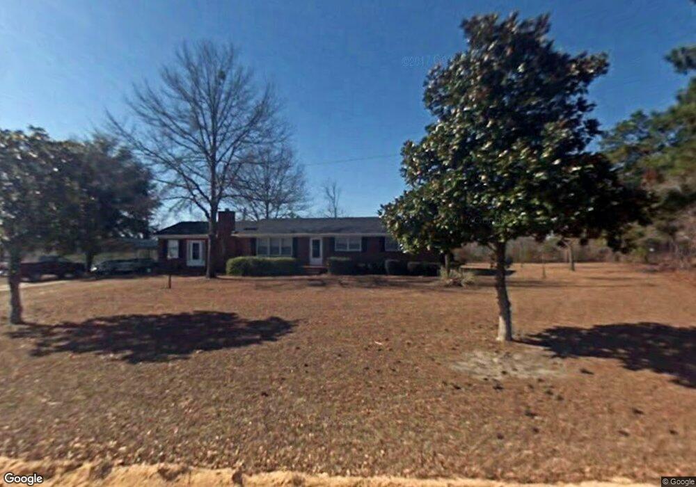
1232 L E Byrd Rd Patrick, SC 29584
Estimated Value: $191,000 - $205,000
3
Beds
2
Baths
1,500
Sq Ft
$131/Sq Ft
Est. Value
About This Home
This home is located at 1232 L E Byrd Rd, Patrick, SC 29584 and is currently estimated at $196,440, approximately $130 per square foot. 1232 L E Byrd Rd is a home located in Chesterfield County with nearby schools including McBee Elementary School, McBee High School, and New Heights Middle School.
Ownership History
Date
Name
Owned For
Owner Type
Purchase Details
Closed on
Jul 12, 2019
Sold by
Perdue W Eugene and Perdue Wynona B
Bought by
Sudol Martin T
Current Estimated Value
Home Financials for this Owner
Home Financials are based on the most recent Mortgage that was taken out on this home.
Original Mortgage
$96,224
Outstanding Balance
$83,018
Interest Rate
3.62%
Mortgage Type
FHA
Estimated Equity
$113,422
Create a Home Valuation Report for This Property
The Home Valuation Report is an in-depth analysis detailing your home's value as well as a comparison with similar homes in the area
Purchase History
| Date | Buyer | Sale Price | Title Company |
|---|---|---|---|
| Sudol Martin T | $98,000 | -- |
Source: Public Records
Mortgage History
| Date | Status | Borrower | Loan Amount |
|---|---|---|---|
| Open | Sudol Martin T | $96,224 |
Source: Public Records
Tax History
| Year | Tax Paid | Tax Assessment Tax Assessment Total Assessment is a certain percentage of the fair market value that is determined by local assessors to be the total taxable value of land and additions on the property. | Land | Improvement |
|---|---|---|---|---|
| 2025 | $648 | $4,510 | $460 | $4,050 |
| 2024 | $523 | $3,920 | $400 | $3,520 |
| 2023 | $502 | $3,920 | $400 | $3,520 |
| 2022 | $477 | $3,920 | $400 | $3,520 |
| 2021 | $475 | $3,920 | $400 | $3,520 |
| 2020 | $526 | $3,920 | $400 | $3,520 |
| 2019 | $1,324 | $3,810 | $460 | $3,350 |
| 2018 | $1,309 | $3,810 | $460 | $3,350 |
| 2015 | $227 | $3,810 | $460 | $3,350 |
| 2014 | $179 | $3,810 | $460 | $3,350 |
| 2010 | -- | $3,310 | $400 | $2,910 |
Source: Public Records
Map
Nearby Homes
- 437 Gunn Mill Rd
- BFF 1D J C Barefoot Rd Unit BFF 1D
- BFF 1B J C Barefoot Rd Unit BFF 1B
- BFF II 2 J C Barefoot Rd Unit BFF II 2
- BFF II 4 J C Barefoot Rd
- BFF II 3 J C Barefoot Rd Unit BFF II 3
- BFF 1A J C Barefoot Rd Unit BFF 1A
- BFF II 4 J C Barefoot Rd Unit BFF II 4
- BFF II 3 J C Barefoot Rd
- Bff 1d J C Barefoot Rd
- Bff 1b J C Barefoot Rd
- Bff 1e Brunson Teal Rd
- Bff 1b Brunson Teal Rd Unit Bff 1b
- BFF II 6 Brunson Teal Rd
- Bff 1a Brunson Teal Rd Unit Bff 1a
- BFF II 6 Brunson Teal Rd Unit BFF II 6
- Bff Ii 7 Brunson Teal Rd
- BFF II 8 Brunson Teal Rd
- BFF II 5 Brunson Teal Rd Unit BFF II 5
- BFF II 5 Brunson Teal Rd
Your Personal Tour Guide
Ask me questions while you tour the home.