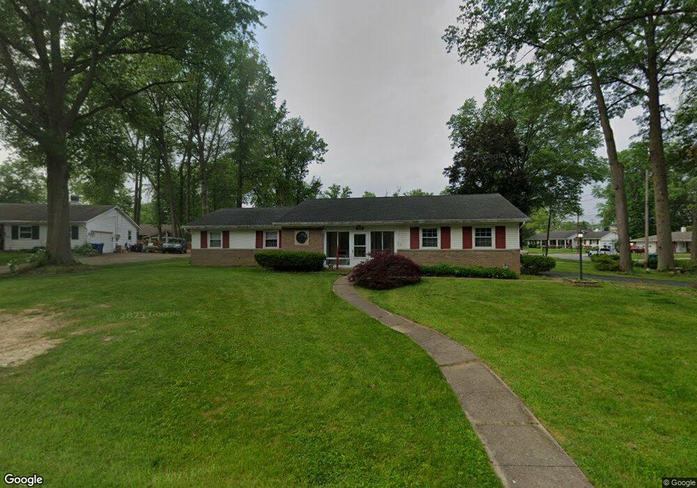
1234 High Point Cir Amherst, OH 44001
Estimated Value: $236,000 - $270,000
3
Beds
3
Baths
1,864
Sq Ft
$138/Sq Ft
Est. Value
About This Home
This home is located at 1234 High Point Cir, Amherst, OH 44001 and is currently estimated at $257,410, approximately $138 per square foot. 1234 High Point Cir is a home located in Lorain County with nearby schools including Powers Elementary School, Walter G. Nord Middle School, and Amherst Junior High School.
Ownership History
Date
Name
Owned For
Owner Type
Purchase Details
Closed on
Aug 2, 2004
Sold by
Estate Of Howard Earl Patton
Bought by
Patton Bernice B
Current Estimated Value
Purchase Details
Closed on
Jul 27, 2004
Sold by
Patton Bernice B
Bought by
Snyder James D and Snyder Carol L
Create a Home Valuation Report for This Property
The Home Valuation Report is an in-depth analysis detailing your home's value as well as a comparison with similar homes in the area
Home Values in the Area
Average Home Value in this Area
Purchase History
| Date | Buyer | Sale Price | Title Company |
|---|---|---|---|
| Patton Bernice B | -- | Chicago Title Insurance Co | |
| Snyder James D | $155,000 | Chicago Title Insurance Co |
Source: Public Records
Tax History
| Year | Tax Paid | Tax Assessment Tax Assessment Total Assessment is a certain percentage of the fair market value that is determined by local assessors to be the total taxable value of land and additions on the property. | Land | Improvement |
|---|---|---|---|---|
| 2024 | $2,618 | $74,638 | $18,792 | $55,846 |
| 2023 | $2,272 | $56,578 | $10,959 | $45,619 |
| 2022 | $2,197 | $56,578 | $10,959 | $45,619 |
| 2021 | $2,203 | $56,578 | $10,959 | $45,619 |
| 2020 | $1,948 | $46,300 | $8,970 | $37,330 |
| 2019 | $1,909 | $46,300 | $8,970 | $37,330 |
| 2018 | $1,919 | $46,300 | $8,970 | $37,330 |
| 2017 | $1,982 | $45,150 | $8,340 | $36,810 |
| 2016 | $1,998 | $45,150 | $8,340 | $36,810 |
| 2015 | $1,987 | $45,150 | $8,340 | $36,810 |
| 2014 | $2,104 | $47,130 | $8,710 | $38,420 |
| 2013 | $2,111 | $47,130 | $8,710 | $38,420 |
Source: Public Records
Map
Nearby Homes
- 1215 Spruce Tree Ln
- 117 Caesars Cir
- 140 Luxor Ln
- 114 Rockridge Dr
- 353 Rockridge Dr
- 363 Rockridge Dr
- 645 Terra Ln
- 162 S Leavitt Rd
- 105 N Woodhill Dr
- 180 S Leavitt Rd
- 1150 Woodside Dr
- 6501 Fox Tail Ln
- 151 Woodhill Dr
- 165 Woodhill Dr
- 950 Park Ave
- 224 S Leavitt Rd
- 707 Lincoln St
- 145 Pearl St
- 129 Hidden Tree Ln
- 1900 Narragansett Blvd
- 419 High Meadow Rd
- 1238 High Point Cir
- 1233 High Point Cir
- 415 Rock Creek Run
- 425 Rock Creek Run
- 424 High Meadow Rd
- 430 High Meadow Rd
- 418 High Meadow Rd
- 1237 High Point Cir
- 1242 High Point Cir
- 412 High Meadow Rd
- 1241 High Point Cir
- 431 Rock Creek Run
- 442 High Meadow Rd
- 445 High Meadow Rd
- 1240 Old Oak Rd
- 1244 Old Oak Rd
- 441 Rock Creek Run
- 406 High Meadow Rd
- 448 High Meadow Rd
Your Personal Tour Guide
Ask me questions while you tour the home.