1234 Pheasant Run Springfield, OH 45503
Estimated Value: $206,767 - $217,000
2
Beds
2
Baths
1,365
Sq Ft
$155/Sq Ft
Est. Value
About This Home
This home is located at 1234 Pheasant Run, Springfield, OH 45503 and is currently estimated at $211,692, approximately $155 per square foot. 1234 Pheasant Run is a home located in Clark County with nearby schools including Northridge Elementary School, Kenton Ridge Middle & High School, and Emmanuel Christian Academy.
Ownership History
Date
Name
Owned For
Owner Type
Purchase Details
Closed on
Dec 8, 2016
Sold by
Rowand Rex H
Bought by
Black Victor M and Black Cynthia J
Current Estimated Value
Home Financials for this Owner
Home Financials are based on the most recent Mortgage that was taken out on this home.
Original Mortgage
$65,000
Interest Rate
3.57%
Mortgage Type
New Conventional
Purchase Details
Closed on
Dec 29, 1995
Sold by
Wrenwood Dev Corp
Bought by
Rex H Rowand
Create a Home Valuation Report for This Property
The Home Valuation Report is an in-depth analysis detailing your home's value as well as a comparison with similar homes in the area
Home Values in the Area
Average Home Value in this Area
Purchase History
| Date | Buyer | Sale Price | Title Company |
|---|---|---|---|
| Black Victor M | $90,000 | Ohio Real Estate Title | |
| Rex H Rowand | $83,450 | -- |
Source: Public Records
Mortgage History
| Date | Status | Borrower | Loan Amount |
|---|---|---|---|
| Previous Owner | Black Victor M | $65,000 |
Source: Public Records
Tax History
| Year | Tax Paid | Tax Assessment Tax Assessment Total Assessment is a certain percentage of the fair market value that is determined by local assessors to be the total taxable value of land and additions on the property. | Land | Improvement |
|---|---|---|---|---|
| 2025 | $1,360 | $55,970 | $7,840 | $48,130 |
| 2024 | $1,340 | $41,860 | $6,780 | $35,080 |
| 2023 | $1,340 | $41,860 | $6,780 | $35,080 |
| 2022 | $1,362 | $41,860 | $6,780 | $35,080 |
| 2021 | $1,834 | $38,190 | $5,600 | $32,590 |
| 2020 | $1,836 | $38,190 | $5,600 | $32,590 |
| 2019 | $1,873 | $38,190 | $5,600 | $32,590 |
| 2018 | $1,552 | $30,650 | $7,000 | $23,650 |
| 2017 | $1,319 | $33,929 | $7,000 | $26,929 |
| 2016 | $935 | $33,929 | $7,000 | $26,929 |
| 2015 | $971 | $33,929 | $7,000 | $26,929 |
| 2014 | $971 | $33,929 | $7,000 | $26,929 |
| 2013 | $969 | $33,929 | $7,000 | $26,929 |
Source: Public Records
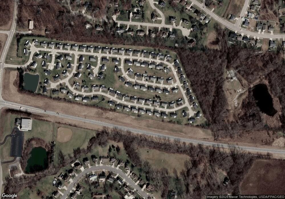
Map
Nearby Homes
- 1201 Kingsgate Rd
- 1415 Montego Dr
- 1500 Kingsgate Rd Unit 19430
- 1502 Kingsgate Rd Unit 19432
- 1500 Kingsgate Rd
- 1502 Kingsgate Rd
- 3631 Kingsgate Ln
- 4256 Midfield St Unit 9
- 1503 Kingsgate Rd
- 1505 Kingsgate Rd
- 1644 Delmar Dr
- 1507 Kingsgate Rd
- 1341 Student Ave
- 4322 Midfield St Unit 15
- 1136 Foxboro Rd Unit 202
- 3052 Brixton Dr E
- 1811 Saint Andrews Ct
- 4446 Ridgewood Rd E Unit 3
- 1052 Cheyenne Ave Unit 1052
- 1139 Bradford Dr
- 1234 Pheasant Run Unit 71
- 1244 Pheasant Run
- 1224 Pheasant Run Unit 70
- 1237 Pheasant Run Unit 80
- 1237 Pheasant Run
- 1227 Pheasant Run Unit 81
- 1237 Warbler Ridge Unit 48
- 1247 Warbler Ridge
- 1247 Warbler Ridge Unit 47
- 1247 Pheasant Run
- 1254 Pheasant Run Unit 73
- 1229 Warbler Ridge Unit 49
- 1229 Warbler Ridge Unit 1229
- 1229 Warbler Ridge
- 1214 Pheasant Run
- 1214 Pheasant Run Unit 69
- 1217 Pheasant Run
- 1217 Pheasant Run Unit 82
- 1257 Warbler Ridge Unit 46
- 1257 Pheasant Run
Your Personal Tour Guide
Ask me questions while you tour the home.