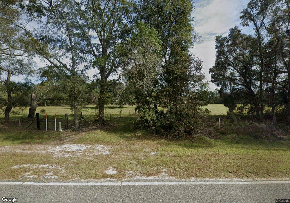
1234 Riverside Rd Nahunta, GA 31553
Estimated Value: $162,974 - $359,000
About This Home
This home is located at 1234 Riverside Rd, Nahunta, GA 31553 and is currently estimated at $230,744, approximately $515 per square foot. 1234 Riverside Rd is a home located in Brantley County with nearby schools including Nahunta Primary School, Nahunta Elementary School, and Brantley County Middle School.
Ownership History
We collect this data history from publicly available records. To have your information removed, we recommend requesting removal directly through your county’s website.
Purchase Details
Purchase Details
Purchase Details
Purchase Details
Purchase History
We collect this data history from publicly available records. To have your information removed, we recommend requesting removal directly through your county’s website.
| Date | Buyer | Sale Price | Title Company |
|---|---|---|---|
| $20,000 | -- | ||
| -- | -- | ||
| $148,000 | -- | ||
| -- | -- |
Tax History
We collect this data history from publicly available records. To have your information removed, we recommend requesting removal directly through your county’s website.
| Year | Tax Paid | Tax Assessment Tax Assessment Total Assessment is a certain percentage of the fair market value that is determined by local assessors to be the total taxable value of land and additions on the property. | Land | Improvement |
|---|---|---|---|---|
| 2025 | $1,217 | $48,431 | $27,221 | $21,210 |
| 2024 | $1,080 | $33,886 | $17,120 | $16,766 |
| 2023 | $1,047 | $26,553 | $9,787 | $16,766 |
| 2022 | $1,014 | $25,553 | $9,787 | $15,766 |
| 2021 | $836 | $17,329 | $6,530 | $10,799 |
| 2020 | $854 | $17,329 | $6,530 | $10,799 |
| 2019 | $627 | $17,329 | $6,530 | $10,799 |
| 2018 | $773 | $22,737 | $12,823 | $9,914 |
| 2017 | $773 | $22,737 | $12,823 | $9,914 |
| 2016 | $828 | $22,737 | $12,823 | $9,914 |
| 2015 | -- | $22,737 | $12,823 | $9,914 |
Map
- 0 Stephen Park Rd Unit 10665137
- 0 Stephen Park Rd Unit 1658601
- 73 Morrison Ln
- 663 Bluff Rd N
- 601 Bluff Rd N
- 247 N Bluff Rd
- 261 Bluff Rd S
- 331 Bluff Rd S
- 1360 Douglas Fish Camp Rd
- 918 Chimney Rock Rd
- 901 Chimney Rock Rd
- Lot27 Old State Rt 259
- 6401 Riverside Rd Unit TRACT 2
- 6401 Riverside Rd
- 6291 Riverside Rock Rd
- 0 Old Post Rd Unit 155024
- 0 Old Post Rd Unit 22619207
- 91 Cane Cir
- 169 Johns Way
- 4490 State Route 259
- 00 (14.03 acres) Riverside Rd
- Tract 6A Thrift Loop
- 1197 Riverside Rd
- 130 Thrift Loop
- 772 Riverside Rd
- 515 Thrift Loop
- 892 Riverside Rd
- 388 Thrift Loop
- 1165 Thrift Loop
- 488 Thrift Loop
- 829 Thrift Loop
- 0 Limerock Rd
- 1672 Riverside Rd
- 640 Thrift Loop
- 142 Lime Rock Rd
- 158 Lime Rock Rd
- 180 Lime Rock Rd
- 0 Thrift Loop Unit 32974
- 1207 Thrift Loop
- 1207 Thrift Loop
Ask me questions while you tour the home.