12349 Polyline Rd Wilcox, NE 68982
Estimated Value: $320,000 - $596,826
Studio
--
Bath
3,022
Sq Ft
$152/Sq Ft
Est. Value
About This Home
This home is located at 12349 Polyline Rd, Wilcox, NE 68982 and is currently estimated at $458,413, approximately $151 per square foot. 12349 Polyline Rd is a home located in Phelps County with nearby schools including Wilcox-Hildreth Elementary School, Wilcox-Hildreth Middle School, and Wilcox-Hildreth High School.
Ownership History
Date
Name
Owned For
Owner Type
Purchase Details
Closed on
Jan 17, 2012
Sold by
Gitt Daniel C and Gitt Ellen M
Bought by
Robinson Cody J and Robinson Andrea L
Current Estimated Value
Home Financials for this Owner
Home Financials are based on the most recent Mortgage that was taken out on this home.
Original Mortgage
$136,000
Outstanding Balance
$91,417
Interest Rate
4.03%
Mortgage Type
New Conventional
Estimated Equity
$366,996
Create a Home Valuation Report for This Property
The Home Valuation Report is an in-depth analysis detailing your home's value as well as a comparison with similar homes in the area
Purchase History
| Date | Buyer | Sale Price | Title Company |
|---|---|---|---|
| Robinson Cody J | $170,000 | None Available |
Source: Public Records
Mortgage History
| Date | Status | Borrower | Loan Amount |
|---|---|---|---|
| Open | Robinson Cody J | $136,000 |
Source: Public Records
Tax History
| Year | Tax Paid | Tax Assessment Tax Assessment Total Assessment is a certain percentage of the fair market value that is determined by local assessors to be the total taxable value of land and additions on the property. | Land | Improvement |
|---|---|---|---|---|
| 2025 | $3,068 | $537,850 | $45,355 | $492,495 |
| 2024 | $2,952 | $471,055 | $45,165 | $425,890 |
| 2023 | $4,284 | $444,543 | $45,103 | $399,440 |
| 2022 | $4,526 | $432,841 | $44,976 | $387,865 |
| 2021 | $3,879 | $381,119 | $45,039 | $336,080 |
| 2020 | $3,712 | $381,273 | $45,103 | $336,170 |
| 2019 | $3,096 | $361,383 | $45,293 | $316,090 |
| 2018 | $2,910 | $350,478 | $40,293 | $310,185 |
| 2017 | $2,851 | $331,833 | $32,558 | $299,275 |
| 2016 | $3,388 | $344,129 | $31,579 | $312,550 |
| 2015 | $3,039 | $344,129 | $31,579 | $312,550 |
| 2014 | $3,058 | $211,071 | $30,956 | $180,115 |
| 2013 | $3,058 | $211,071 | $30,956 | $180,115 |
Source: Public Records
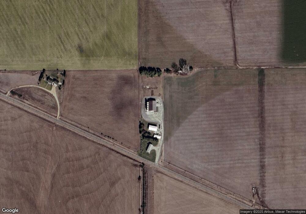
Map
Nearby Homes
- 102 W Alonzo St
- 0000 Polyline Rd
- 635 Haxton St
- 401 Hubbard St
- 700 D Ave
- L1B2 Craneview 3rd Subdivison
- 1313 Pamela Ave
- 915 Sherman St
- 816 Garfield St
- 1010 East Ave
- 1103 East Ave
- 602 11th Ave
- 1019 Hancock St
- 420 14th Ave
- 1023 Hancock St
- 73803 Highway 183
- 815 Tibbals St
- 1306 Maberly St
- 1015 Evergreen St
- 771 Western Ave
- 12337 Polyline Rd
- 72754 W Rd
- 72805 20 Rd
- 12281 Polyline Rd
- 303 N Briggs St
- 208 W Detroit St
- 101 N Toila St
- 72657 20 Rd
- 208 W Dequine St
- 301 N Briggs St
- 307 S Everett St
- 208 W Sapp St
- 209 N Briggs St
- 206 W Sapp St
- 205 N Briggs St
- 309 S Everett St
- 109 N Briggs St
- 401 Evertt St
- 203 N Briggs St
- 105 N Briggs St
Your Personal Tour Guide
Ask me questions while you tour the home.