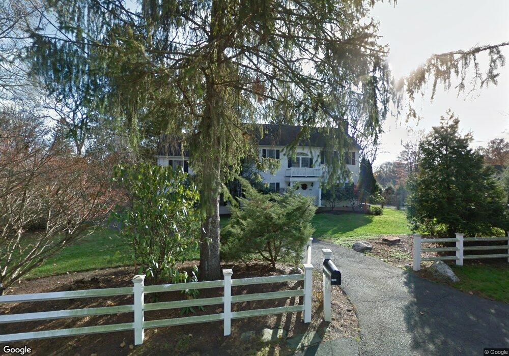
1239 Cedar Rd Southport, CT 06890
Estimated Value: $1,516,000 - $1,972,000
3
Beds
4
Baths
2,825
Sq Ft
$633/Sq Ft
Est. Value
About This Home
This home is located at 1239 Cedar Rd, Southport, CT 06890 and is currently estimated at $1,788,255, approximately $633 per square foot. 1239 Cedar Rd is a home located in Fairfield County with nearby schools including Dwight Elementary School, Roger Ludlowe Middle School, and Fairfield Ludlowe High School.
Ownership History
Date
Name
Owned For
Owner Type
Purchase Details
Closed on
Dec 12, 2016
Sold by
Ciccone Santo J and Ciccone Jeanne A
Bought by
Gambino Denise J
Current Estimated Value
Create a Home Valuation Report for This Property
The Home Valuation Report is an in-depth analysis detailing your home's value as well as a comparison with similar homes in the area
Purchase History
| Date | Buyer | Sale Price | Title Company |
|---|---|---|---|
| Gambino Denise J | -- | -- | |
| Gambino Denise J | -- | -- |
Source: Public Records
Mortgage History
| Date | Status | Borrower | Loan Amount |
|---|---|---|---|
| Previous Owner | Gambino Denise J | $400,000 | |
| Previous Owner | Gambino Denise J | $90,000 | |
| Previous Owner | Gambino Denise J | $125,000 |
Source: Public Records
Tax History
| Year | Tax Paid | Tax Assessment Tax Assessment Total Assessment is a certain percentage of the fair market value that is determined by local assessors to be the total taxable value of land and additions on the property. | Land | Improvement |
|---|---|---|---|---|
| 2025 | $22,804 | $803,250 | $565,320 | $237,930 |
| 2024 | $22,411 | $803,250 | $565,320 | $237,930 |
| 2023 | $22,097 | $803,250 | $565,320 | $237,930 |
| 2022 | $21,881 | $803,250 | $565,320 | $237,930 |
| 2021 | $21,672 | $803,250 | $565,320 | $237,930 |
| 2020 | $18,890 | $705,110 | $448,210 | $256,900 |
| 2019 | $18,890 | $705,110 | $448,210 | $256,900 |
| 2018 | $18,587 | $705,110 | $448,210 | $256,900 |
| 2017 | $18,206 | $705,110 | $448,210 | $256,900 |
| 2016 | $17,815 | $700,000 | $448,210 | $251,790 |
| 2015 | $15,618 | $630,000 | $410,060 | $219,940 |
| 2014 | $15,372 | $630,000 | $410,060 | $219,940 |
Source: Public Records
Map
Nearby Homes
- 9 Sturges Hwy
- 260 Range Rd
- 688 Hulls Farm Rd
- 10 Debra Ln
- 1 Coastal Ct
- 21 Sturges Commons
- 10 Mary Jane Ln
- 1 Dexter Rd
- 1120 Mill Hill Terrace
- 103 Southport Woods Dr Unit 103
- 49 Southport Woods Dr
- 32 Bauer Place Extension
- 26 Taylor Place
- 153 Pease Ave
- 36 Bauer Place
- 3 Bowling Ln
- 71 Aberdeen Way Unit 71
- 279 Spruce St
- 320 Warner Hill Rd
- 25 Old Rd
- 100 Sasco River Ln
- 140 Sasco River Ln
- 1069 Hulls Hwy
- 158 Sasco River Ln
- 1099 Hulls Hwy
- 1265 Cedar Rd
- 1115 Hulls Hwy
- 1259 Cedar Rd
- 60 Sasco River Ln
- 1023 Hulls Hwy Unit LANE
- 1023 Hulls Hwy
- 166 Sasco River Ln
- 117 Sasco River Ln
- 149 Sasco River Ln
- 20 Sasco River Ln
- 1177 Cedar Rd
- 75 Sasco River Ln
- 963 Hulls Hwy
- 1120 Hulls Hwy
- 194 Sasco River Ln
Your Personal Tour Guide
Ask me questions while you tour the home.