Estimated Value: $375,000 - $422,000
3
Beds
3
Baths
2,324
Sq Ft
$170/Sq Ft
Est. Value
About This Home
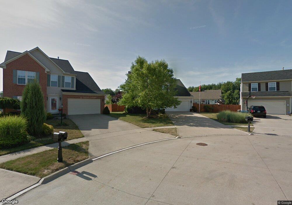
This home is located at 124 Bedrock Ct, Berea, OH 44017 and is currently estimated at $394,545, approximately $169 per square foot. 124 Bedrock Ct is a home located in Cuyahoga County with nearby schools including Falls-Lenox Primary Elementary School, Olmsted Falls Intermediate Building, and Olmsted Falls Middle School.
Ownership History
Date
Name
Owned For
Owner Type
Purchase Details
Closed on
Jun 19, 2006
Sold by
Nvr Inc
Bought by
Kosakowski George J and Kosakowski Deborah B
Current Estimated Value
Home Financials for this Owner
Home Financials are based on the most recent Mortgage that was taken out on this home.
Original Mortgage
$177,100
Outstanding Balance
$101,942
Interest Rate
6.68%
Mortgage Type
Purchase Money Mortgage
Estimated Equity
$292,603
Purchase Details
Closed on
Apr 11, 2006
Sold by
Lopat Development Co Llc
Bought by
Nvr Inc and Ryan Homes
Create a Home Valuation Report for This Property
The Home Valuation Report is an in-depth analysis detailing your home's value as well as a comparison with similar homes in the area
Home Values in the Area
Average Home Value in this Area
Purchase History
We collect this data history from publicly available records. To have your information removed, we recommend requesting removal directly through your county’s website.
| Date | Buyer | Sale Price | Title Company |
|---|---|---|---|
| Kosakowski George J | $221,465 | Nvr Title Agency | |
| Nvr Inc | $40,355 | Nvr Title Agency |
Source: Public Records
Mortgage History
We collect this data history from publicly available records. To have your information removed, we recommend requesting removal directly through your county’s website.
| Date | Status | Borrower | Loan Amount |
|---|---|---|---|
| Open | Kosakowski George J | $177,100 |
Source: Public Records
Tax History
| Year | Tax Paid | Tax Assessment Tax Assessment Total Assessment is a certain percentage of the fair market value that is determined by local assessors to be the total taxable value of land and additions on the property. | Land | Improvement |
|---|---|---|---|---|
| 2025 | $6,923 | $119,525 | $24,010 | $95,515 |
| 2024 | $6,918 | $119,525 | $24,010 | $95,515 |
| 2023 | $6,389 | $92,510 | $21,670 | $70,840 |
| 2022 | $6,349 | $92,510 | $21,670 | $70,840 |
| 2021 | $6,341 | $92,510 | $21,670 | $70,840 |
| 2020 | $6,488 | $84,110 | $19,710 | $64,400 |
| 2019 | $6,317 | $240,300 | $56,300 | $184,000 |
| 2018 | $5,932 | $84,110 | $19,710 | $64,400 |
| 2017 | $5,996 | $74,480 | $17,150 | $57,330 |
| 2016 | $5,952 | $74,480 | $17,150 | $57,330 |
| 2015 | $5,516 | $74,480 | $17,150 | $57,330 |
| 2014 | $5,516 | $73,010 | $16,800 | $56,210 |
Source: Public Records
Map
Nearby Homes
- 136 Stonesthrow Dr
- 159 Stone Ridge Way
- 157 Stone Ridge Way
- 7339 River Rd
- 509 Chestnut Dr
- 106 Clay Ct
- 0 River Rd Unit 5169658
- 82 Stonesthrow Dr
- 379 Laurel Dr
- 281-12-007 River Rd
- 281-12-024 River Rd
- 7353 Columbia Rd
- 255 Buckeye Dr
- V/L Columbia Rd
- 25016 Mill River Rd Unit 25016
- 490 Abbyshire Dr
- 8409 Forest View Dr
- 5 Hawthorn Dr
- 24690 Thicket Ln Unit M32
- 19 Sycamore Dr
- 130 Bedrock Ct
- 119 Bedrock Ct
- 130 Weatherstone Dr
- 138 Weatherstone Dr
- 126 Weatherstone Dr
- 150 Weatherstone Dr
- 115 Bedrock Ct
- 112 Weatherstone Dr
- 156 Weatherstone Dr
- 142 Bedrock Ct
- 136 Bedrock Ct
- 207 Sandstone Ridge Way
- 201 Sandstone Ridge Way
- 106 Weatherstone Dr
- 109 Bedrock Ct
- 213 Sandstone Ridge Way
- 160 Weatherstone Dr
- 107 Bedrock Ct
- 219 Sandstone Ridge Way
- 101 Bedrock Ct
Your Personal Tour Guide
Ask me questions while you tour the home.