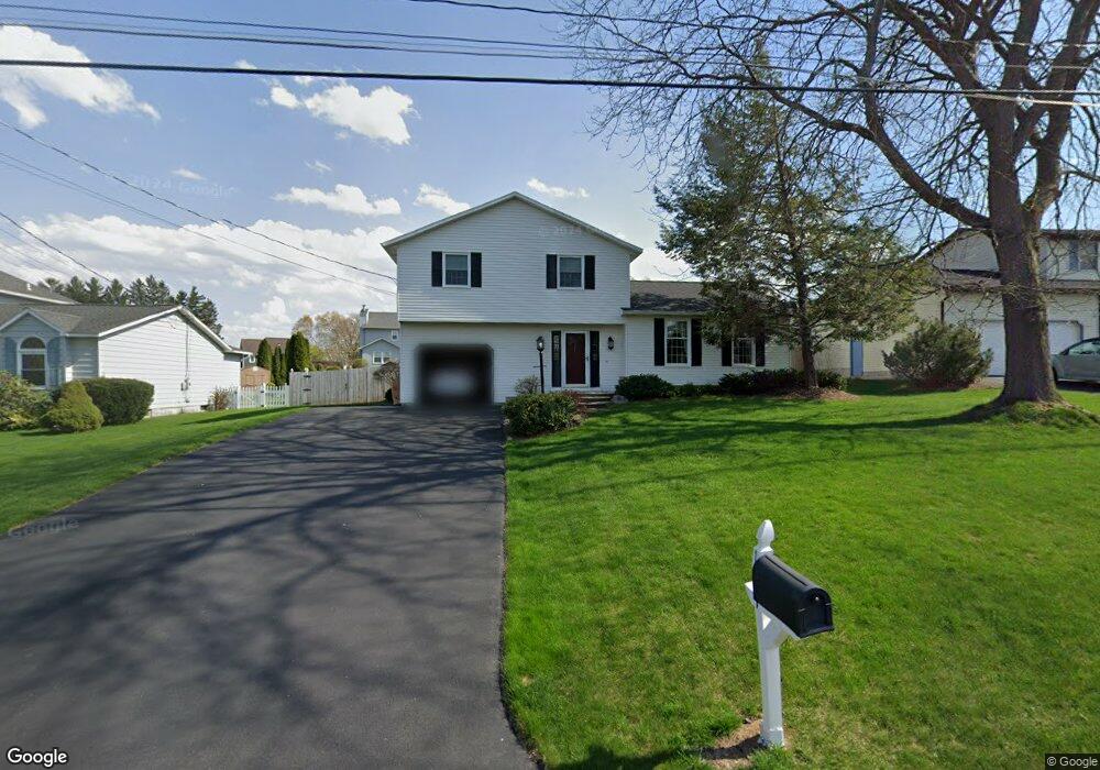
124 Benoit Dr Syracuse, NY 13209
Estimated Value: $271,000 - $342,000
3
Beds
2
Baths
1,652
Sq Ft
$189/Sq Ft
Est. Value
About This Home
This home is located at 124 Benoit Dr, Syracuse, NY 13209 and is currently estimated at $312,715, approximately $189 per square foot. 124 Benoit Dr is a home located in Onondaga County with nearby schools including Solvay Elementary School, Solvay Middle School, and Solvay High School.
Ownership History
Date
Name
Owned For
Owner Type
Purchase Details
Closed on
Aug 16, 2024
Sold by
Leabo George and Leabo Christy J
Bought by
Kendrick Erik and Kendrick Jessica
Current Estimated Value
Home Financials for this Owner
Home Financials are based on the most recent Mortgage that was taken out on this home.
Original Mortgage
$236,000
Interest Rate
5.63%
Mortgage Type
Adjustable Rate Mortgage/ARM
Create a Home Valuation Report for This Property
The Home Valuation Report is an in-depth analysis detailing your home's value as well as a comparison with similar homes in the area
Home Values in the Area
Average Home Value in this Area
Purchase History
| Date | Buyer | Sale Price | Title Company |
|---|---|---|---|
| Kendrick Erik | $295,000 | None Available |
Source: Public Records
Mortgage History
| Date | Status | Borrower | Loan Amount |
|---|---|---|---|
| Previous Owner | Kendrick Erik | $236,000 |
Source: Public Records
Tax History
| Year | Tax Paid | Tax Assessment Tax Assessment Total Assessment is a certain percentage of the fair market value that is determined by local assessors to be the total taxable value of land and additions on the property. | Land | Improvement |
|---|---|---|---|---|
| 2024 | $7,910 | $126,600 | $23,500 | $103,100 |
| 2023 | $7,660 | $126,600 | $23,500 | $103,100 |
| 2022 | $7,446 | $126,600 | $23,500 | $103,100 |
| 2021 | $7,340 | $126,600 | $23,500 | $103,100 |
| 2020 | $6,318 | $126,600 | $23,500 | $103,100 |
| 2019 | $3,020 | $126,600 | $23,500 | $103,100 |
| 2018 | $6,156 | $126,600 | $23,500 | $103,100 |
| 2017 | $2,933 | $126,600 | $23,500 | $103,100 |
| 2016 | $6,027 | $126,600 | $23,500 | $103,100 |
| 2015 | -- | $126,600 | $23,500 | $103,100 |
| 2014 | -- | $126,600 | $23,500 | $103,100 |
Source: Public Records
Map
Nearby Homes
- 111 Bonnie Dr
- 0 Niagara Ave Unit S1650265
- 6687 Beach Rd
- 116 Brantford Path
- 300 Nicks Way
- 123 Brantford Path
- 3564 Kirk Rd
- 17 Miguel Ln
- 362 Long Branch Rd
- 1001 Cold Springs Rd
- 109 Tempo Cir
- 600 2nd St
- 322 Garfield Ave
- 120 Wilson Ave
- 1214 Cold Springs Rd
- 6182 Airport Rd
- 405 Horan Rd
- 811 Oswego St
- 1315 Cold Springs Rd
- 104 Tamarack St
Your Personal Tour Guide
Ask me questions while you tour the home.