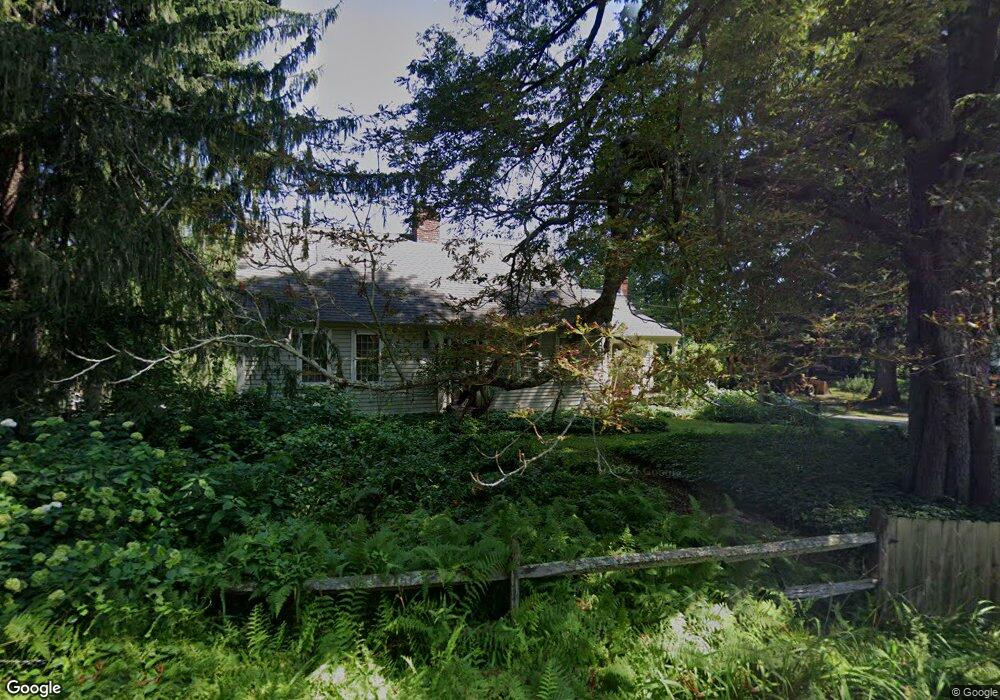
124 S Killingly Rd Foster, RI 02825
Estimated Value: $566,000 - $1,078,000
3
Beds
2
Baths
2,351
Sq Ft
$348/Sq Ft
Est. Value
About This Home
This home is located at 124 S Killingly Rd, Foster, RI 02825 and is currently estimated at $819,313, approximately $348 per square foot. 124 S Killingly Rd is a home located in Providence County with nearby schools including Capt. Isaac Paine El. School, Ponaganset Middle School, and Ponaganset High School.
Ownership History
Date
Name
Owned For
Owner Type
Purchase Details
Closed on
Aug 2, 2024
Sold by
Tucci Matthew L
Bought by
Tucci Matthew L and Hood Pamela
Current Estimated Value
Purchase Details
Closed on
Aug 3, 2001
Sold by
Raymond George A and Raymond Constance
Bought by
Tucci Matthew L
Create a Home Valuation Report for This Property
The Home Valuation Report is an in-depth analysis detailing your home's value as well as a comparison with similar homes in the area
Home Values in the Area
Average Home Value in this Area
Purchase History
| Date | Buyer | Sale Price | Title Company |
|---|---|---|---|
| Tucci Matthew L | -- | None Available | |
| Tucci Matthew L | $358,000 | -- | |
| Tucci Matthew L | $358,000 | -- |
Source: Public Records
Mortgage History
| Date | Status | Borrower | Loan Amount |
|---|---|---|---|
| Previous Owner | Tucci Matthew L | $452,000 | |
| Previous Owner | Tucci Matthew L | $360,000 | |
| Previous Owner | Tucci Matthew L | $346,500 | |
| Previous Owner | Tucci Matthew L | $290,000 |
Source: Public Records
Tax History
| Year | Tax Paid | Tax Assessment Tax Assessment Total Assessment is a certain percentage of the fair market value that is determined by local assessors to be the total taxable value of land and additions on the property. | Land | Improvement |
|---|---|---|---|---|
| 2025 | $15,169 | $704,900 | $102,700 | $602,200 |
| 2024 | $15,314 | $735,200 | $102,700 | $632,500 |
| 2023 | $10,270 | $453,000 | $102,700 | $350,300 |
| 2022 | $9,948 | $453,000 | $102,700 | $350,300 |
| 2021 | $9,667 | $453,000 | $102,700 | $350,300 |
| 2020 | $9,809 | $412,300 | $89,900 | $322,400 |
| 2018 | $9,417 | $412,300 | $89,900 | $322,400 |
| 2017 | $9,098 | $391,300 | $89,900 | $301,400 |
| 2015 | $8,382 | $391,300 | $89,900 | $301,400 |
| 2014 | $9,563 | $454,100 | $89,900 | $364,200 |
Source: Public Records
Map
Nearby Homes
- 188 Danielson Pike
- 61 Howard Hill Rd
- 55 Howard Hill Rd
- 120 Danielson Pike
- 41 Margaret Henry Rd
- 29 Luther Rd
- 13 Shippee Schoolhouse Rd
- 91 Danielson Pike
- 29 Mount Hygeia Rd
- 23 Bailey Hill Village
- 18 King Rd
- 395 Bailey Hill Rd
- 0 E Killingly Rd Unit 1406613
- 119 E Killingly Rd
- 0 Central Pike
- 980 Plainfield Pike
- 564 Hubbard Rd
- 131 E Killingly Rd
- 140 N Frontage Rd
- 679 Bailey Hill Rd
- 123 S Killingly Rd
- 126 S Killingly Rd
- 124A S Killingly Rd
- 128 S Killingly Rd
- 120 S Killingly Rd
- 117 S Killingly Rd
- 42 1/2 Boswell Trail
- 42 Boswell Trail
- 115 S Killingly Rd
- 56 North Rd
- 113 S Killingly Rd
- 54 North Rd
- 135 S Killingly Rd
- 39 Boswell Trail
- 39 Boswell Trail Unit SINGLE FAMIL
- 39 Boswell Trail Unit SF
- 39A Boswell Trail
- 53 North Rd
- 53 North Rd
- 57 North Rd
Your Personal Tour Guide
Ask me questions while you tour the home.