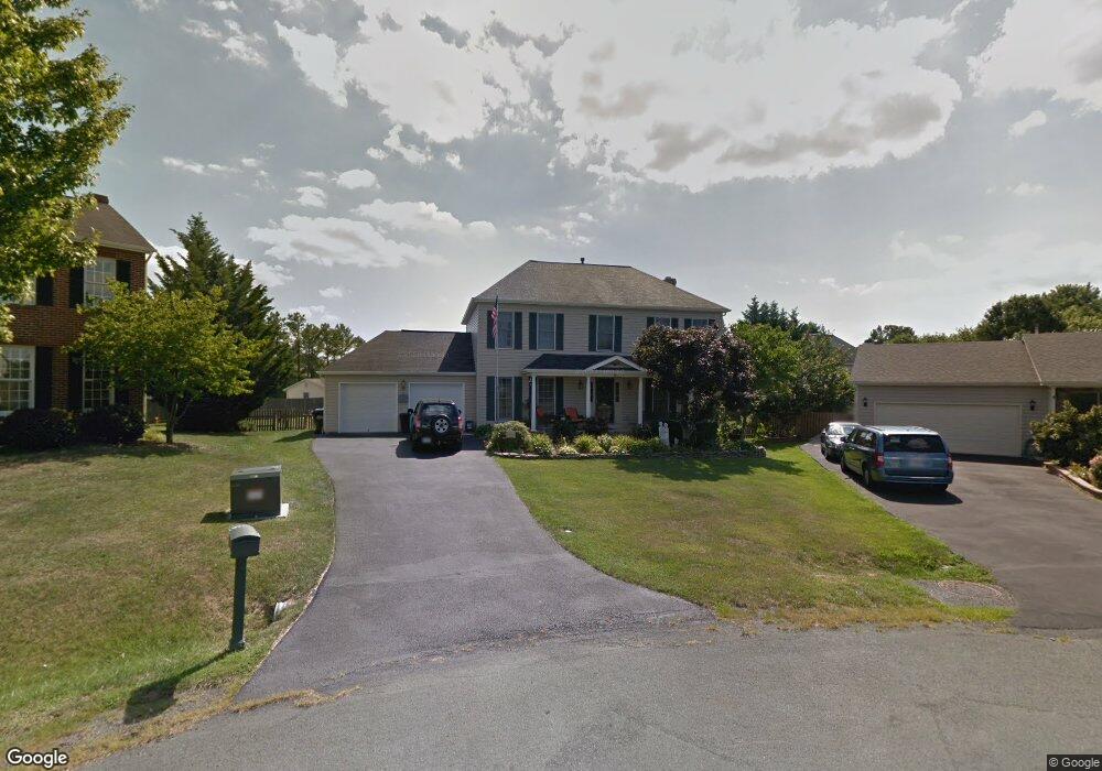
124 Walls Cir Winchester, VA 22602
Estimated Value: $502,000 - $520,000
4
Beds
4
Baths
2,472
Sq Ft
$206/Sq Ft
Est. Value
About This Home
This home is located at 124 Walls Cir, Winchester, VA 22602 and is currently estimated at $510,299, approximately $206 per square foot. 124 Walls Cir is a home located in Frederick County with nearby schools including Redbud Run Elementary School, James Wood Middle School, and Millbrook High School.
Ownership History
Date
Name
Owned For
Owner Type
Purchase Details
Closed on
May 19, 2008
Sold by
Manning and Ross Develope
Bought by
Rio Carleton R
Current Estimated Value
Home Financials for this Owner
Home Financials are based on the most recent Mortgage that was taken out on this home.
Original Mortgage
$350,000
Outstanding Balance
$222,001
Interest Rate
5.91%
Mortgage Type
New Conventional
Estimated Equity
$288,298
Create a Home Valuation Report for This Property
The Home Valuation Report is an in-depth analysis detailing your home's value as well as a comparison with similar homes in the area
Home Values in the Area
Average Home Value in this Area
Purchase History
| Date | Buyer | Sale Price | Title Company |
|---|---|---|---|
| Rio Carleton R | $580,000 | -- |
Source: Public Records
Mortgage History
| Date | Status | Borrower | Loan Amount |
|---|---|---|---|
| Open | Rio Carleton R | $350,000 |
Source: Public Records
Tax History
| Year | Tax Paid | Tax Assessment Tax Assessment Total Assessment is a certain percentage of the fair market value that is determined by local assessors to be the total taxable value of land and additions on the property. | Land | Improvement |
|---|---|---|---|---|
| 2025 | $2,460 | $512,520 | $93,000 | $419,520 |
| 2024 | $1,147 | $449,800 | $77,000 | $372,800 |
| 2023 | $2,294 | $449,800 | $77,000 | $372,800 |
| 2022 | $2,320 | $380,400 | $72,000 | $308,400 |
| 2021 | $2,320 | $380,400 | $72,000 | $308,400 |
| 2020 | $2,046 | $335,400 | $72,000 | $263,400 |
| 2019 | $502 | $335,400 | $72,000 | $263,400 |
| 2018 | $1,791 | $293,600 | $72,000 | $221,600 |
| 2017 | $1,762 | $293,600 | $72,000 | $221,600 |
| 2016 | $1,642 | $273,700 | $59,500 | $214,200 |
| 2015 | $1,533 | $273,700 | $59,500 | $214,200 |
| 2014 | $689 | $231,300 | $54,500 | $176,800 |
Source: Public Records
Map
Nearby Homes
- 111 Asbury Rd
- 303 Asbury Rd
- 353 Greenwood Rd
- 224 Morlyn Dr
- 228 Cavalry Dr
- 407 Emily Ln
- 501 Emily Ln
- 320 Morlyn Dr
- 202 Emily Ln
- 411 Eckard Cir
- 119 Foxglove Dr
- 103 Fenwick Ct
- 11111 Shouner Ct
- 110 Shouner Ct
- 105 Keller Ct
- 112 Keller
- 206 Williamson Rd
- 136 Parkside Dr
- 207 Williamson Rd
- 128 Little River Dr
- 125 Walls Cir
- 122 Walls Cir
- 121 Battlefield Dr
- 203 Asbury Rd
- 119 Battlefield Dr
- 205 Asbury Rd
- 123 Battlefield Dr
- 120 Walls Cir
- 123 Walls Cir Unit 12
- 123 Walls Cir
- 117 Walls Cir
- 207 Asbury Rd
- 117 Battlefield Dr
- 118 Walls Cir
- 120 Battlefield Dr
- 122 Battlefield Dr
- 209 Asbury Rd
- 109 Walls Cir Unit 19
- 109 Walls Cir
- 202 Asbury Rd
Your Personal Tour Guide
Ask me questions while you tour the home.