1241 State Route 177 New Baden, IL 62265
Estimated Value: $364,000 - $408,217
Studio
1
Bath
2,212
Sq Ft
$177/Sq Ft
Est. Value
About This Home
This home is located at 1241 State Route 177, New Baden, IL 62265 and is currently estimated at $390,554, approximately $176 per square foot. 1241 State Route 177 is a home located in Clinton County with nearby schools including Wesclin Middle School and Wesclin Sr High School.
Ownership History
Date
Name
Owned For
Owner Type
Purchase Details
Closed on
Jul 29, 2025
Sold by
Krausz David E and Krausz Joyce A
Bought by
Nm Land Llc
Current Estimated Value
Purchase Details
Closed on
May 18, 2024
Sold by
Krausz Brian R and Brian Krausz Family Joint Revocable Trus Bria
Bought by
Krausz David E and Krausz Joyce A
Purchase Details
Closed on
May 16, 2024
Sold by
Krausz Richard G
Bought by
Krausz David E and Krausz Joyce A
Purchase Details
Closed on
Sep 7, 2018
Sold by
Krausz Brian R and Krausz Christine A
Bought by
Brian Krausz Family Joint Revocable Trus
Create a Home Valuation Report for This Property
The Home Valuation Report is an in-depth analysis detailing your home's value as well as a comparison with similar homes in the area
Purchase History
| Date | Buyer | Sale Price | Title Company |
|---|---|---|---|
| Nm Land Llc | $380,000 | None Available | |
| Krausz David E | -- | None Available | |
| Krausz David E | -- | None Available | |
| Brian Krausz Family Joint Revocable Trus | -- | Highland Community Title |
Source: Public Records
Tax History
| Year | Tax Paid | Tax Assessment Tax Assessment Total Assessment is a certain percentage of the fair market value that is determined by local assessors to be the total taxable value of land and additions on the property. | Land | Improvement |
|---|---|---|---|---|
| 2024 | $5,308 | $99,860 | $47,600 | $52,260 |
| 2023 | $5,308 | $94,350 | $44,060 | $50,290 |
| 2022 | $5,120 | $88,840 | $40,780 | $48,060 |
| 2021 | $4,690 | $84,940 | $37,960 | $46,980 |
| 2020 | $4,523 | $80,270 | $35,330 | $44,940 |
| 2019 | $4,406 | $77,942 | $33,002 | $44,940 |
| 2018 | $4,641 | $78,216 | $30,795 | $47,421 |
| 2017 | $4,515 | $75,362 | $28,822 | $46,540 |
| 2016 | $4,431 | $73,695 | $27,155 | $46,540 |
| 2015 | $3,551 | $72,179 | $25,639 | $46,540 |
| 2013 | $3,551 | $70,296 | $21,116 | $49,180 |
Source: Public Records
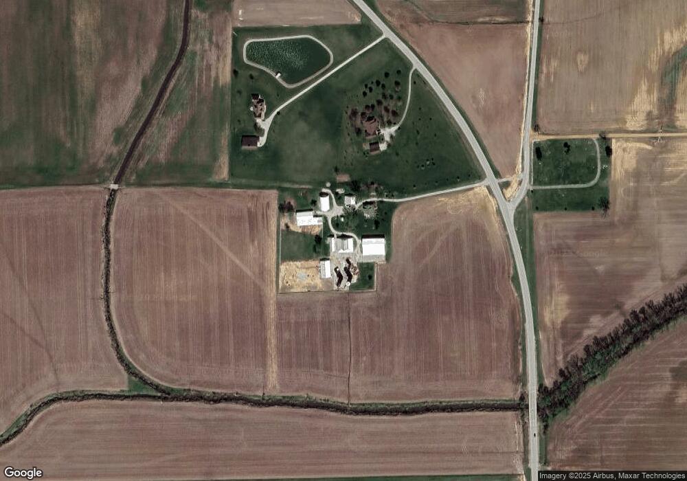
Map
Nearby Homes
- 232 Walnut St
- 228 Walnut
- 244 Walnut
- 106 N 11th St
- 301 W Hanover St
- 202 W Hanover St
- 808 E Birch St
- 1009 Pine St
- 101 W Birch St
- 10971 Platinum Ln
- 5929 Highbanks Rd
- 91 Weatherholt Dr
- 409 Thouvenot Ln
- 301 W Oak St
- 605 Janet Ct
- 1009 Pennsylvania Ave
- 6450 Timber Lane Dr
- 625 Christopher Ln
- 1 Larkspur Dr
- 92 S Centennial Rd
Your Personal Tour Guide
Ask me questions while you tour the home.