1247 Deserado Dr Rangely, CO 81648
Estimated Value: $245,000 - $313,000
About This Home
This home is located at 1247 Deserado Dr, Rangely, CO 81648 and is currently estimated at $286,197, approximately $136 per square foot. 1247 Deserado Dr is a home located in Rio Blanco County with nearby schools including Parkview Elementary School, Rangely Junior/Senior High School, and Rangely Christian Academy.
Ownership History
We collect this data history from publicly available records. To have your information removed, we recommend requesting removal directly through your county’s website.
Purchase Details
Home Financials for this Owner
Home Financials are based on the most recent Mortgage that was taken out on this home.Purchase Details
Home Financials for this Owner
Home Financials are based on the most recent Mortgage that was taken out on this home.Purchase Details
Home Financials for this Owner
Home Financials are based on the most recent Mortgage that was taken out on this home.Purchase Details
Home Values in the Area
Average Home Value in this Area
Purchase History
We collect this data history from publicly available records. To have your information removed, we recommend requesting removal directly through your county’s website.
| Date | Buyer | Sale Price | Title Company |
|---|---|---|---|
| $175,000 | None Available | ||
| $169,300 | Utc Colorado | ||
| -- | None Available | ||
| -- | None Available |
Mortgage History
We collect this data history from publicly available records. To have your information removed, we recommend requesting removal directly through your county’s website.
| Date | Status | Borrower | Loan Amount |
|---|---|---|---|
| Open | $168,743 | ||
| Previous Owner | $4,986 | ||
| Previous Owner | $166,233 |
Tax History
We collect this data history from publicly available records. To have your information removed, we recommend requesting removal directly through your county’s website.
| Year | Tax Paid | Tax Assessment Tax Assessment Total Assessment is a certain percentage of the fair market value that is determined by local assessors to be the total taxable value of land and additions on the property. | Land | Improvement |
|---|---|---|---|---|
| 2025 | $1,230 | $14,780 | $1,350 | $13,430 |
| 2024 | $1,230 | $9,980 | $1,060 | $8,920 |
| 2023 | $838 | $9,980 | $1,060 | $8,920 |
| 2022 | $883 | $12,090 | $1,460 | $10,630 |
| 2021 | $887 | $12,090 | $1,460 | $10,630 |
| 2020 | $883 | $12,370 | $1,430 | $10,940 |
| 2019 | $829 | $12,370 | $1,430 | $10,940 |
| 2018 | $823 | $13,150 | $1,370 | $11,780 |
| 2017 | $918 | $13,150 | $1,370 | $11,780 |
| 2016 | $1,005 | $14,990 | $1,510 | $13,480 |
| 2015 | -- | $14,990 | $0 | $0 |
| 2014 | -- | $14,950 | $0 | $0 |
| 2013 | $806 | $14,950 | $0 | $0 |
| 2012 | $806 | $14,540 | $1,430 | $13,110 |
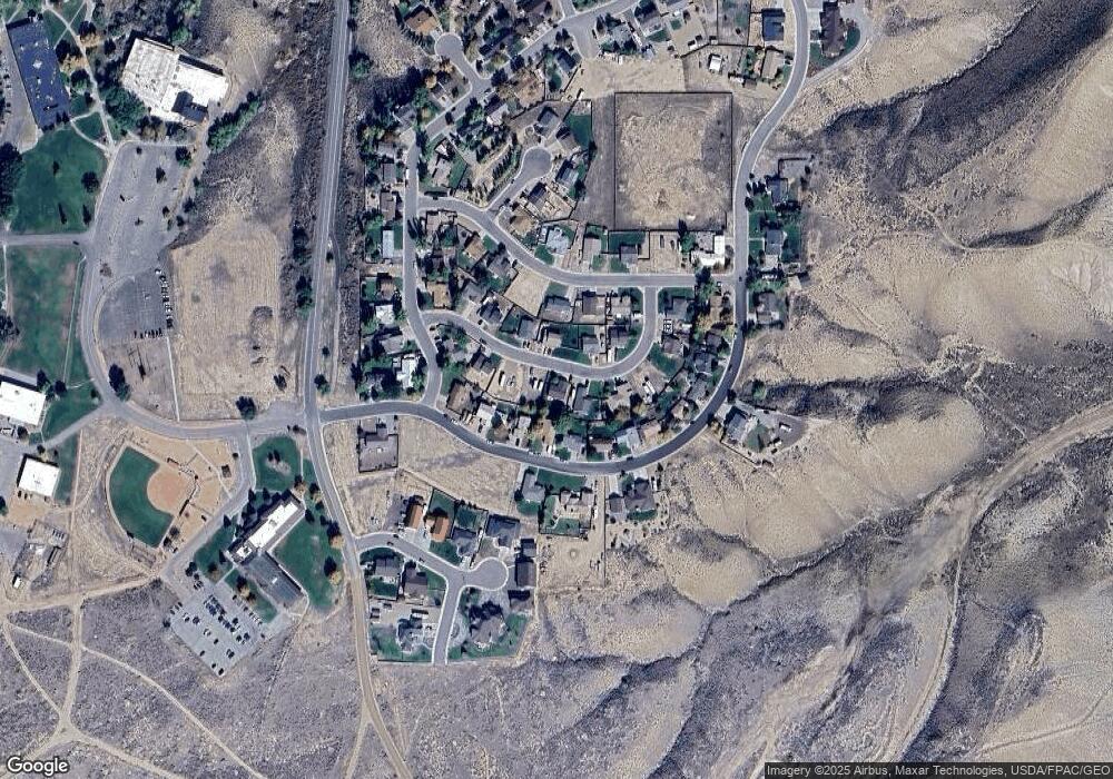
Map
- 1244 Sunridge Ave
- 1542 La Mesa Cir
- 1215 La Mesa Cir
- 1235 La Mesa Cir
- 1225 La Mesa Cir
- 1210 La Mesa Cir
- 505 Vista Cir
- 1351 La Mesa Cir
- 1349 E Main St
- 515 Lake St
- 137 Pinyon Cir
- 805 Pinyon Ct
- 505 S White Ave
- 255 E Raven Ave
- 0 County Road 101
- 206 E Rangely Ave
- 234 S Stanolind Ave
- 302 W Main St
- 903 Taos Dr
- 500 W Rider Rd
- 1250 Deserado Dr
- 1250 Deserado Dr Unit Aquila Model
- 1240 Deserado Dr
- 1240 Deserado Dr Unit Tempe 2 Model
- 1247 Sunridge Ave
- 1257 Sunridge Ave
- 1257 Sunridge Ave Unit Yuma Model
- 1237 Sunridge Ave
- 1237 Sunridge Ave Unit Primrose Model
- 1247 Deserado Dr Unit Conastoga Model
- 1257 Deserado Dr
- 1257 Deserado Dr Unit Peoria-Model
- 1237 Deserado Dr
- 1237 Deserado Dr Unit Betta Model
- 1277 Deserado Dr
- 0 Deserado Dr Unit 769445
- 0 Deserado Dr Unit 735740
- 0 Deserado Dr Unit Sadona Model 613505
- 0 Deserado Dr Unit Conastoga Model
- 0 Deserado Dr Unit Peoria-Model 613888
Ask me questions while you tour the home.