
125 Park Blvd Berwick, PA 18603
Estimated Value: $169,000 - $214,000
Highlights
- Ranch Style House
- Porch
- Walk-In Closet
- No HOA
- 1 Car Attached Garage
- Patio
About This Home
Great location for this 3 Bedroom, 1.75 Bath well maintained ranch home. This adorable home boast a beautiful updated kitchen, replacement windows, master bedroom with a walk in closet and 3/4 bath, nice sized bedrooms,1 car attached garage, and nice backyard.
Last Agent to Sell the Property
PRO Real Estate Services, Inc. License #RM425322 Listed on: 03/03/2016

Last Buyer's Agent
PRO Real Estate Services, Inc. License #RM425322 Listed on: 03/03/2016
Home Details
Home Type
- Single Family
Est. Annual Taxes
- $1,926
Year Built
- Built in 1952
Lot Details
- 9,583 Sq Ft Lot
Parking
- 1 Car Attached Garage
Home Design
- Ranch Style House
- Slab Foundation
- Frame Construction
- Shingle Roof
- Asphalt Roof
- Vinyl Construction Material
Interior Spaces
- 1,332 Sq Ft Home
- Ceiling Fan
- Insulated Windows
- Living Room
- Dining Room
Kitchen
- Range
- Microwave
Bedrooms and Bathrooms
- 3 Bedrooms
- Walk-In Closet
Laundry
- Laundry Room
- Dryer
- Washer
Outdoor Features
- Patio
- Shed
- Porch
Utilities
- Heating System Uses Oil
- Electric Baseboard Heater
- 100 Amp Service
Community Details
- No Home Owners Association
- Park Place Village Subdivision
Listing and Financial Details
- Assessor Parcel Number 04D-03-38
Ownership History
Purchase Details
Home Financials for this Owner
Home Financials are based on the most recent Mortgage that was taken out on this home.Purchase Details
Purchase Details
Home Values in the Area
Average Home Value in this Area
Purchase History
We collect this data history from publicly available records. To have your information removed, we recommend requesting removal directly through your county’s website.
| Date | Buyer | Sale Price | Title Company |
|---|---|---|---|
| Hurnyak Allen P | -- | None Available | |
| Dendler Clayton E | -- | None Available | |
| Dendler Clayton | $23,700 | -- |
Mortgage History
We collect this data history from publicly available records. To have your information removed, we recommend requesting removal directly through your county’s website.
| Date | Status | Borrower | Loan Amount |
|---|---|---|---|
| Open | Hurnyak Allen P | $60,000 |
Tax History
| Year | Tax Paid | Tax Assessment Tax Assessment Total Assessment is a certain percentage of the fair market value that is determined by local assessors to be the total taxable value of land and additions on the property. | Land | Improvement |
|---|---|---|---|---|
| 2026 | $2,551 | $27,388 | $0 | $0 |
| 2025 | $2,455 | $27,388 | $0 | $0 |
| 2024 | $2,428 | $27,388 | $3,840 | $23,548 |
| 2023 | $2,263 | $27,388 | $3,840 | $23,548 |
| 2022 | $2,189 | $27,388 | $3,840 | $23,548 |
| 2021 | $2,141 | $27,388 | $3,840 | $23,548 |
| 2020 | $2,092 | $27,388 | $3,840 | $23,548 |
| 2019 | $2,059 | $27,388 | $3,840 | $23,548 |
| 2018 | $1,978 | $27,388 | $3,840 | $23,548 |
| 2017 | $1,985 | $27,388 | $3,840 | $23,548 |
| 2016 | -- | $27,388 | $3,840 | $23,548 |
| 2015 | -- | $27,388 | $3,840 | $23,548 |
| 2014 | -- | $27,388 | $3,840 | $23,548 |
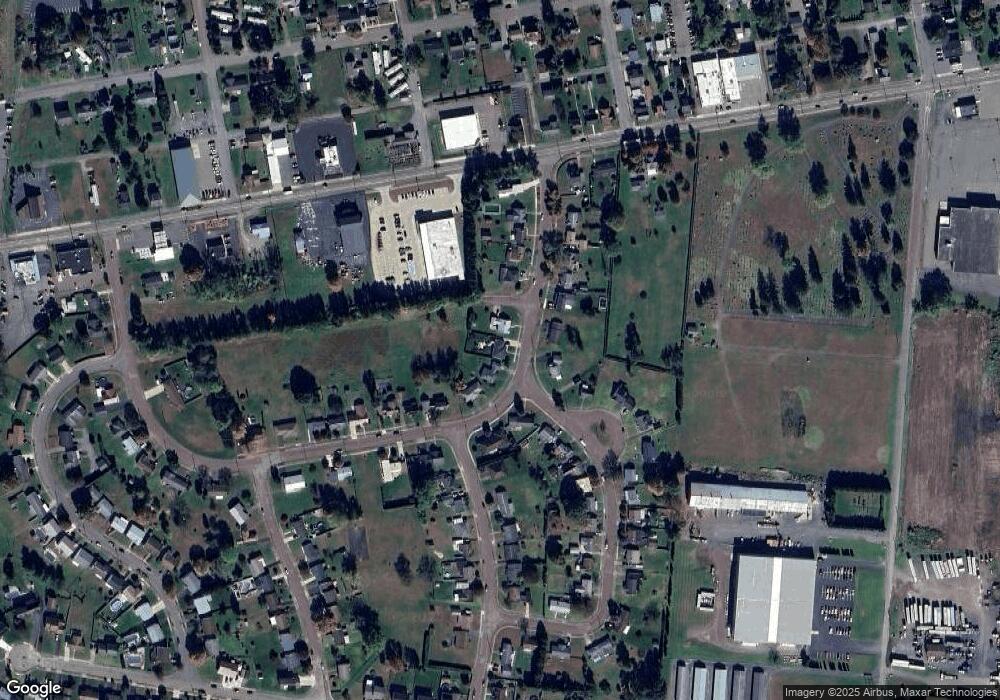
Map
Source: Central Susquehanna Valley Board of REALTORS® MLS
MLS Number: 20-63026
APN: 04D-03-038-00-000
Disclaimer: Certain information contained herein is derived from information provided by parties other than Homes.com. All information provided is deemed reliable, but is not guaranteed to be accurate and should be independently verified.
![]() IDX information is provided exclusively for personal, non-commercial use, and may not be used for any purpose other than to identify prospective properties consumers may be interested in purchasing. Information is deemed reliable but not guaranteed.
IDX information is provided exclusively for personal, non-commercial use, and may not be used for any purpose other than to identify prospective properties consumers may be interested in purchasing. Information is deemed reliable but not guaranteed.
- 1902 Fairview Ave
- 211 S Mercer St
- 1427 Brittain St
- 1332 Spring Garden Ave
- 1239,1241 W Front St
- 1500 2nd Ave
- 1224 Orange St
- 1319 Ferris Ave
- 4 E Rittenhouse Mill Rd
- 1135 Orange St
- 1133 Orange St
- 1117 Spring Garden Ave
- 1214 1st Ave
- LOT #13 3rd Ave
- 108 110 Blair St
- 1200 1st Ave
- 10041006 W Front St
- 1329 Freas Ave
- 235 S Orchard St
- 1144 2nd Ave
Ask me questions while you tour the home.