Estimated Value: $59,000 - $377,000
Studio
--
Bath
1,792
Sq Ft
$149/Sq Ft
Est. Value
About This Home
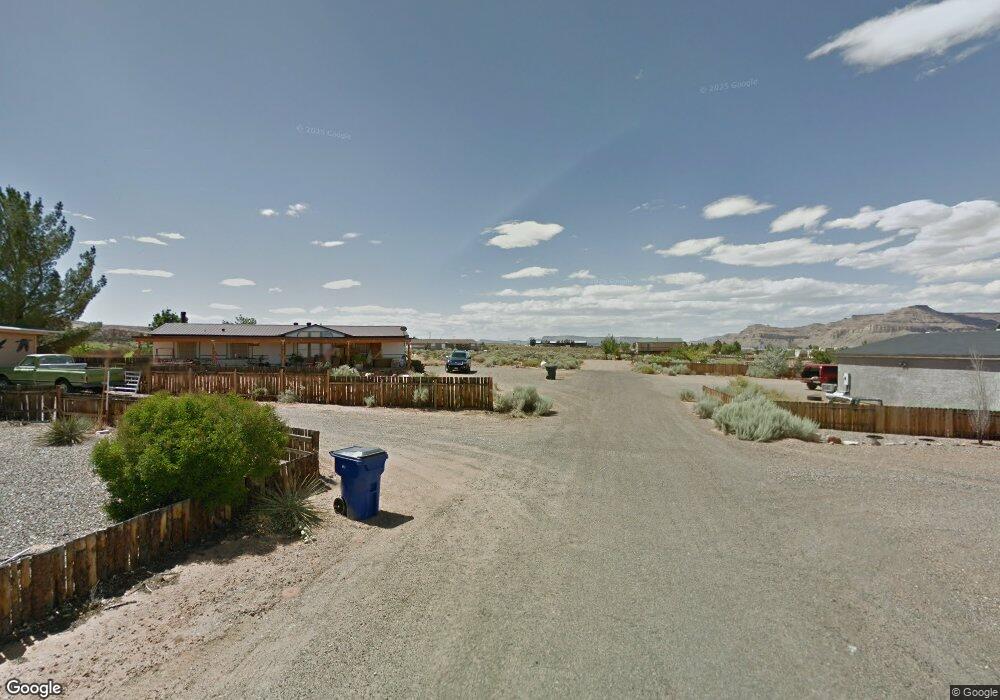
This home is located at 1250 Patrick Henry Ct, Kanab, UT 84741 and is currently estimated at $266,219, approximately $148 per square foot. 1250 Patrick Henry Ct is a home with nearby schools including Big Water School.
Ownership History
Date
Name
Owned For
Owner Type
Purchase Details
Closed on
Mar 1, 2018
Sold by
George Destepheno
Bought by
Thinn Fabian Jimmie and Thinn Crystal
Current Estimated Value
Purchase Details
Closed on
Sep 15, 2006
Sold by
Stephenson Wayne W and Stephenson Melissa F
Bought by
Destepheno George and Destepheno Teresa
Home Financials for this Owner
Home Financials are based on the most recent Mortgage that was taken out on this home.
Original Mortgage
$118,400
Interest Rate
6.56%
Create a Home Valuation Report for This Property
The Home Valuation Report is an in-depth analysis detailing your home's value as well as a comparison with similar homes in the area
Purchase History
| Date | Buyer | Sale Price | Title Company |
|---|---|---|---|
| Thinn Fabian Jimmie | -- | -- | |
| Destepheno George | -- | -- |
Source: Public Records
Mortgage History
| Date | Status | Borrower | Loan Amount |
|---|---|---|---|
| Previous Owner | Destepheno George | $118,400 |
Source: Public Records
Tax History
| Year | Tax Paid | Tax Assessment Tax Assessment Total Assessment is a certain percentage of the fair market value that is determined by local assessors to be the total taxable value of land and additions on the property. | Land | Improvement |
|---|---|---|---|---|
| 2025 | $2,079 | $215,041 | $64,603 | $150,438 |
| 2024 | $2,164 | $121,839 | $32,301 | $89,538 |
| 2023 | $1,868 | $109,853 | $29,908 | $79,945 |
| 2022 | $1,930 | $102,145 | $26,007 | $76,138 |
| 2021 | $1,748 | $135,296 | $38,295 | $97,001 |
| 2020 | $1,794 | $135,296 | $38,295 | $97,001 |
| 2019 | $1,707 | $125,058 | $38,295 | $86,763 |
| 2018 | $962 | $127,632 | $38,295 | $89,337 |
| 2017 | $958 | $122,637 | $33,300 | $89,337 |
| 2016 | $917 | $118,805 | $40,700 | $78,105 |
| 2015 | $853 | $101,193 | $40,700 | $60,493 |
| 2014 | $853 | $109,085 | $40,700 | $68,385 |
| 2013 | -- | $59,997 | $0 | $0 |
Source: Public Records
Map
Nearby Homes
- 1260 Patrick Henry Ct
- 1330 Justice
- 1200 American Way
- 1060 S Freedom Way
- 1095 Canyon Dr
- 1330 E Rock Ledge Ln
- 1015 Canyon Dr
- 1000 Canyon Dr
- 1020 S Independence Way
- 1100 Revolution Way
- 1185 Independence
- 933 Freedom
- 910 Freedom
- 1107 E Old Glory Way
- 0 S Freedom Way
- 665 E Shelter Cove
- 665 E Shelter Cove Rd
- 665 S Shelter Cove
- 930 S Shelter Cove Dr
- 0 B-11-2 B-J-28 Unit 25-264712
- 0 Patrick Henry Ct
- 1275 E Justice Way
- S Patrick Henry Ct
- 1255 S Independence
- 1260 E Justice Way
- 1265 Patrick Henry Ct
- 1315 E Justice Way
- 1245 S Independence
- E E Justice Dr
- Lot 2 E Justice Dr
- 0 E Justice Dr
- 0 Justice
- 3 Justice
- Lot 2 Justice
- 1020 Independence
- 1240 S Freedom Way
- 1305 E Discovery Way
- 6 Discovery Ln
- 715 Justice
- 1225 S Independence
Your Personal Tour Guide
Ask me questions while you tour the home.