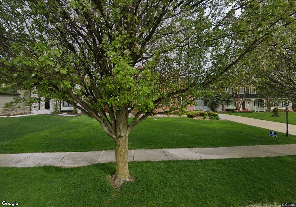
1259 Elliston Ct Crown Point, IN 46307
Estimated Value: $357,000 - $530,699
4
Beds
3
Baths
2,812
Sq Ft
$155/Sq Ft
Est. Value
About This Home
This home is located at 1259 Elliston Ct, Crown Point, IN 46307 and is currently estimated at $436,175, approximately $155 per square foot. 1259 Elliston Ct is a home located in Lake County with nearby schools including Timothy Ball Elementary School, Robert Taft Middle School, and Crown Point High School.
Ownership History
Date
Name
Owned For
Owner Type
Purchase Details
Closed on
Sep 29, 2009
Sold by
Lake County Trust Company
Bought by
Sanders William C and Sanders Kammi L
Current Estimated Value
Create a Home Valuation Report for This Property
The Home Valuation Report is an in-depth analysis detailing your home's value as well as a comparison with similar homes in the area
Home Values in the Area
Average Home Value in this Area
Purchase History
| Date | Buyer | Sale Price | Title Company |
|---|---|---|---|
| Sanders William C | -- | None Available |
Source: Public Records
Tax History
| Year | Tax Paid | Tax Assessment Tax Assessment Total Assessment is a certain percentage of the fair market value that is determined by local assessors to be the total taxable value of land and additions on the property. | Land | Improvement |
|---|---|---|---|---|
| 2025 | $4,632 | $451,400 | $96,000 | $355,400 |
| 2024 | $11,365 | $435,400 | $96,000 | $339,400 |
| 2023 | $4,587 | $413,500 | $96,000 | $317,500 |
| 2022 | $4,419 | $394,800 | $96,000 | $298,800 |
| 2021 | $4,773 | $425,900 | $81,600 | $344,300 |
| 2020 | $4,592 | $410,000 | $81,600 | $328,400 |
| 2019 | $4,649 | $411,100 | $81,600 | $329,500 |
| 2018 | $5,908 | $403,600 | $81,600 | $322,000 |
| 2017 | $5,467 | $372,900 | $81,600 | $291,300 |
| 2016 | $5,714 | $381,800 | $81,600 | $300,200 |
| 2014 | $5,385 | $383,000 | $81,600 | $301,400 |
| 2013 | $5,441 | $382,500 | $81,600 | $300,900 |
Source: Public Records
Map
Nearby Homes
- 11241 Oak Ridge Ct
- 11200 Oak Ridge Ct
- 1555 Chalone Ct
- 1200 White Hawk Dr
- 1718 Silver Hawk Dr
- 1667 Chalone Ct
- 771 Kenmare Pkwy
- 324 Maple St
- 740 Meadow Ln
- 901 Veterans Ln
- 316 Oak Cir
- 862 Veterans Ln
- 10607 Lane St
- 802 Veterans Ln
- 350 Cochran Dr
- 1436 Bohling Place
- 1206 Sycamore St
- 10813 Lane St
- 301 Hoffman St
- 4906 W 109th Ave
- 1267 Elliston Ct
- 1243 Elliston Ct
- 943 Kendall Ct
- Lot 39 Elliston Ct
- 1251 Elliston Ct
- 1235 Elliston Ct
- 1258 Elliston Ct
- 1250 Elliston Ct
- 1266 Elliston Ct
- 926 Kendall Ct
- 951 Kendall Ct
- 1242 Elliston Ct
- 934 Kendall Ct
- 918 Kendall Ct
- 1227 Elliston Ct
- 1227 Elliston Ct
- 1234 Elliston Ct
- 942 Kendall Ct
- 910 Kendall Ct
- 1226 Elliston Ct
Your Personal Tour Guide
Ask me questions while you tour the home.