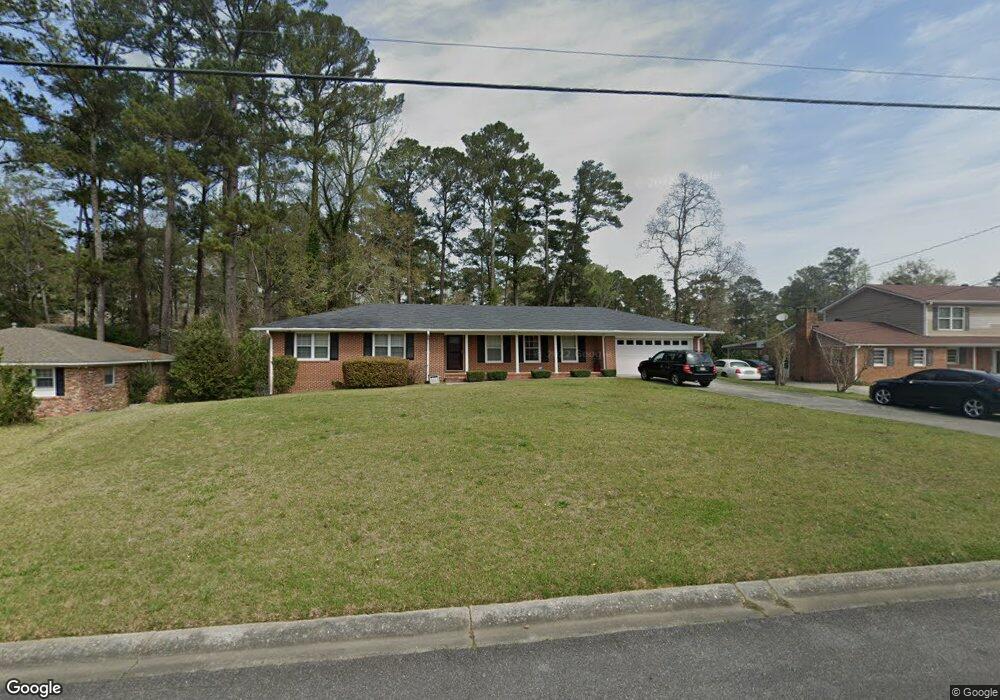
1259 Normandy Rd Macon, GA 31210
Estimated Value: $213,000 - $258,000
3
Beds
2
Baths
1,830
Sq Ft
$129/Sq Ft
Est. Value
About This Home
This home is located at 1259 Normandy Rd, Macon, GA 31210 and is currently estimated at $236,413, approximately $129 per square foot. 1259 Normandy Rd is a home located in Bibb County with nearby schools including Lane Elementary School, Howard Middle School, and Howard High School.
Ownership History
Date
Name
Owned For
Owner Type
Purchase Details
Closed on
Apr 29, 2005
Sold by
Fancher Robert H and Fancher Karen D
Bought by
Hardy Dowanna R
Current Estimated Value
Home Financials for this Owner
Home Financials are based on the most recent Mortgage that was taken out on this home.
Original Mortgage
$121,500
Interest Rate
5.57%
Mortgage Type
New Conventional
Purchase Details
Closed on
Sep 29, 1999
Create a Home Valuation Report for This Property
The Home Valuation Report is an in-depth analysis detailing your home's value as well as a comparison with similar homes in the area
Purchase History
| Date | Buyer | Sale Price | Title Company |
|---|---|---|---|
| Hardy Dowanna R | $135,000 | None Available | |
| -- | $103,000 | -- |
Source: Public Records
Mortgage History
| Date | Status | Borrower | Loan Amount |
|---|---|---|---|
| Previous Owner | Hardy Dowanna R | $121,500 |
Source: Public Records
Tax History
| Year | Tax Paid | Tax Assessment Tax Assessment Total Assessment is a certain percentage of the fair market value that is determined by local assessors to be the total taxable value of land and additions on the property. | Land | Improvement |
|---|---|---|---|---|
| 2025 | $2,254 | $98,727 | $10,250 | $88,477 |
| 2024 | $2,330 | $98,727 | $10,250 | $88,477 |
| 2023 | $1,239 | $73,772 | $8,200 | $65,572 |
| 2022 | $2,801 | $87,913 | $7,821 | $80,092 |
| 2021 | $3,003 | $86,013 | $6,570 | $79,443 |
| 2020 | $2,975 | $83,624 | $6,570 | $77,054 |
| 2019 | $2,625 | $74,067 | $6,570 | $67,497 |
| 2018 | $3,805 | $67,468 | $5,944 | $61,524 |
| 2017 | $2,099 | $63,023 | $6,278 | $56,745 |
| 2016 | $1,835 | $60,036 | $6,278 | $53,758 |
| 2015 | $2,598 | $60,036 | $6,278 | $53,758 |
| 2014 | $3,246 | $63,720 | $6,976 | $56,745 |
Source: Public Records
Map
Nearby Homes
- 1209 Normandy Rd
- 870 Glen Hill Ct
- 1024 Normandy Rd
- 1161 Ousley Place
- 1422 Forest Hill Rd
- 843 Green Oak Terrace
- 3678 Northside Dr
- 3640 Northside Dr
- 3622 Northside Dr
- 3602 Northside Dr
- 681 Forest Lake Dr N
- 122 Lundy Ct
- 166 Brookstone Way
- 177 Brookstone Way
- 4559 N Beechwood Dr
- 4070 Carrie Ct
- 840 Balim Ct
- 3500 Northside Dr
- 1412 Fern Dr
- 636 Lokchapee Ridge
- 1253 Normandy Rd
- 1267 Normandy Rd
- 1019 Ousley Place
- 1011 Ousley Place
- 1247 Normandy Rd
- 1275 Normandy Rd
- 1029 Ousley Place
- 1258 Normandy Rd
- 1252 Normandy Rd
- 1003 Ousley Place
- 1274 Normandy Rd
- 1274 Normandy Rd Unit 405
- 1037 Ousley Place
- 1235 Normandy Rd
- 1244 Normandy Rd
- 1244 Normandy Rd Unit H11
- 1301 Normandy Rd
- 1236 Normandy Rd
- 1020 Ousley Place
- 1012 Ousley Place
Your Personal Tour Guide
Ask me questions while you tour the home.