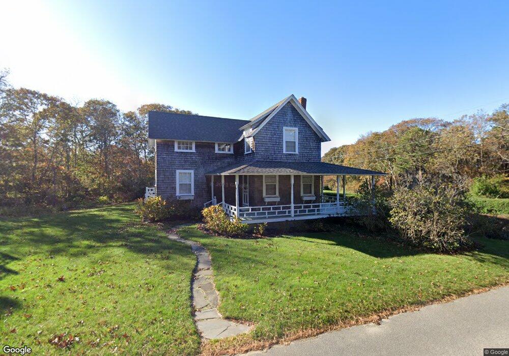
126 Munroe Ave Oak Bluffs, MA 02557
Oak Bluffs NeighborhoodEstimated Value: $1,452,000 - $2,357,000
About This Home
This home is located at 126 Munroe Ave, Oak Bluffs, MA 02557 and is currently estimated at $1,825,677, approximately $1,284 per square foot. 126 Munroe Ave is a home with nearby schools including Oak Bluffs Elementary School and Martha's Vineyard Regional High School.
Ownership History
We collect this data history from publicly available records. To have your information removed, we recommend requesting removal directly through your county’s website.
Purchase Details
Home Financials for this Owner
Home Financials are based on the most recent Mortgage that was taken out on this home.Home Values in the Area
Average Home Value in this Area
Purchase History
We collect this data history from publicly available records. To have your information removed, we recommend requesting removal directly through your county’s website.
| Date | Buyer | Sale Price | Title Company |
|---|---|---|---|
| $295,000 | -- |
Mortgage History
We collect this data history from publicly available records. To have your information removed, we recommend requesting removal directly through your county’s website.
| Date | Status | Borrower | Loan Amount |
|---|---|---|---|
| Open | $260,000 |
Tax History
We collect this data history from publicly available records. To have your information removed, we recommend requesting removal directly through your county’s website.
| Year | Tax Paid | Tax Assessment Tax Assessment Total Assessment is a certain percentage of the fair market value that is determined by local assessors to be the total taxable value of land and additions on the property. | Land | Improvement |
|---|---|---|---|---|
| 2025 | $7,142 | $1,414,300 | $940,100 | $474,200 |
| 2024 | $6,841 | $1,308,100 | $854,400 | $453,700 |
| 2023 | $5,919 | $1,121,000 | $742,800 | $378,200 |
| 2022 | $5,968 | $878,900 | $575,900 | $303,000 |
| 2021 | $5,358 | $727,000 | $438,800 | $288,200 |
| 2020 | $5,108 | $686,600 | $417,900 | $268,700 |
| 2019 | $5,103 | $663,600 | $399,900 | $263,700 |
| 2018 | $5,338 | $681,800 | $395,400 | $286,400 |
| 2017 | $5,265 | $646,000 | $384,900 | $261,100 |
| 2016 | $5,202 | $641,400 | $396,800 | $244,600 |
| 2015 | $4,960 | $623,100 | $396,800 | $226,300 |
| 2014 | $5,205 | $666,400 | $400,600 | $265,800 |
Map
- 6 Brewster Ave
- 150 E Chop Dr
- 312 E Chop Dr
- 312 E Chop Dr
- 17 John Wesley Ave
- 7 Highland Ave
- 7 Highland Ave Unit 119
- 3 Troy St
- 5 Temahigan Ave Unit 4-139-0
- 0 Temahigan Ave Unit 160
- 0 Temahigan Ave Unit 22602202
- 47 Winemack St
- 24 Towanticut Ave Unit 188
- 111 Eastville Ave
- 10 Siloam Ave
- 2 Lincoln Ave
- 33 Ocean Ave
- 15 Second Ave
- 46 Kennebec Ave
- 28 Beach Rd
- 143 Munroe Ave
- 2 Sandy Bluff Ln
- 194 E Chop Dr
- 7 Sandy Bluff Ln
- 108 E Chop Dr
- 168 E Chop Dr
- 25 Atlantic Ave
- 25 Atlantic Ave
- 23 Atlantic Ave
- 142 Munroe Ave
- 186 E Chop Dr
- 28 Atlantic Ave
- 125 Munroe Ave
- 180 E Chop Dr
- 19 Atlantic Ave
- 180 E Chop Dr
- 22 Atlantic Ave
- 220 E Chop Dr
- 220 E Chop Dr
- 221 E Chop Dr
Ask me questions while you tour the home.