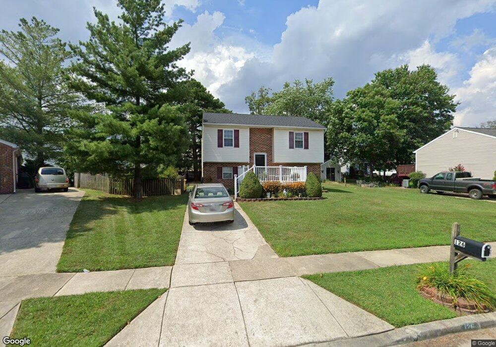
126 Range Rd Glen Burnie, MD 21061
Estimated Value: $313,956 - $367,000
Studio
1
Bath
980
Sq Ft
$347/Sq Ft
Est. Value
About This Home
This home is located at 126 Range Rd, Glen Burnie, MD 21061 and is currently estimated at $340,489, approximately $347 per square foot. 126 Range Rd is a home located in Anne Arundel County with nearby schools including Richard Henry Lee Elementary School, Corkran Middle School, and Glen Burnie High School.
Ownership History
Date
Name
Owned For
Owner Type
Purchase Details
Closed on
Aug 6, 1993
Sold by
Whited B O
Bought by
Metzler David W
Current Estimated Value
Home Financials for this Owner
Home Financials are based on the most recent Mortgage that was taken out on this home.
Original Mortgage
$110,250
Interest Rate
7.29%
Purchase Details
Closed on
Jan 6, 1989
Sold by
Bay Bridge Associates Inc
Bought by
Whited Barry O
Home Financials for this Owner
Home Financials are based on the most recent Mortgage that was taken out on this home.
Original Mortgage
$103,200
Interest Rate
10.8%
Create a Home Valuation Report for This Property
The Home Valuation Report is an in-depth analysis detailing your home's value as well as a comparison with similar homes in the area
Purchase History
| Date | Buyer | Sale Price | Title Company |
|---|---|---|---|
| Metzler David W | $112,000 | -- | |
| Whited Barry O | $99,800 | -- |
Source: Public Records
Mortgage History
| Date | Status | Borrower | Loan Amount |
|---|---|---|---|
| Closed | Metzler David W | $110,250 | |
| Previous Owner | Whited Barry O | $103,200 |
Source: Public Records
Tax History
| Year | Tax Paid | Tax Assessment Tax Assessment Total Assessment is a certain percentage of the fair market value that is determined by local assessors to be the total taxable value of land and additions on the property. | Land | Improvement |
|---|---|---|---|---|
| 2025 | $2,721 | $301,900 | $146,300 | $155,600 |
| 2024 | $2,721 | $282,867 | $0 | $0 |
| 2023 | $1,659 | $263,833 | $0 | $0 |
| 2022 | $2,439 | $244,800 | $116,300 | $128,500 |
| 2020 | $2,316 | $231,667 | $0 | $0 |
| 2019 | $2,278 | $225,100 | $106,300 | $118,800 |
| 2018 | $2,220 | $218,967 | $0 | $0 |
| 2017 | $2,149 | $212,833 | $0 | $0 |
| 2016 | -- | $206,700 | $0 | $0 |
| 2015 | -- | $206,700 | $0 | $0 |
| 2014 | -- | $206,700 | $0 | $0 |
Source: Public Records
Map
Nearby Homes
- 505 Aquahart Rd
- 600 Oakwood Rd
- 307 Oxford Dr
- 303 Oxford Dr
- 301 8th Ave SE
- 805 Dale Rd
- 502 Wimmer Rd
- 727 Delmar Ave
- 1015 Phillip Dr
- 403 Arbor Dr
- 1200 Whitman Dr
- 1321 Gatwick Rd
- 1412 Houghton Rd
- 131 Heather Stone Way Unit 11
- 722 Cotter Rd
- 427 Carol Ct
- 1302 Whitman Dr
- 1011 Londonderry Dr
- 208 Gloucester Dr
- 102 Heather Stone Way Unit 82
Your Personal Tour Guide
Ask me questions while you tour the home.