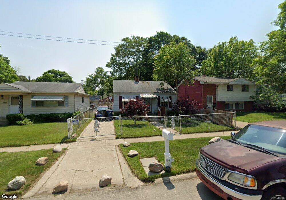
1260 Sutton Ave Flint, MI 48504
Ballenger Highway NeighborhoodEstimated Value: $25,000 - $60,000
2
Beds
1
Bath
676
Sq Ft
$63/Sq Ft
Est. Value
About This Home
This home is located at 1260 Sutton Ave, Flint, MI 48504 and is currently estimated at $42,731, approximately $63 per square foot. 1260 Sutton Ave is a home located in Genesee County with nearby schools including Durant-Tuuri-Mott Elementary School, Greater Heights Academy, and St. Paul Lutheran School.
Ownership History
Date
Name
Owned For
Owner Type
Purchase Details
Closed on
Feb 22, 2022
Sold by
Genesee County Land Bank Authority
Bought by
West Lambert
Current Estimated Value
Purchase Details
Closed on
Dec 20, 2016
Sold by
Cherry Deborah L
Bought by
Genesee County Land Bank
Purchase Details
Closed on
Jun 8, 2006
Sold by
Emc Mortgage Corp
Bought by
Lasalle Bank Na and Bear Stearns Asset Backed Securities I L
Create a Home Valuation Report for This Property
The Home Valuation Report is an in-depth analysis detailing your home's value as well as a comparison with similar homes in the area
Home Values in the Area
Average Home Value in this Area
Purchase History
| Date | Buyer | Sale Price | Title Company |
|---|---|---|---|
| West Lambert | $1,500 | None Listed On Document | |
| West Lambert | $1,500 | None Listed On Document | |
| Genesee County Land Bank | -- | None Available | |
| Lasalle Bank Na | -- | None Available |
Source: Public Records
Tax History
| Year | Tax Paid | Tax Assessment Tax Assessment Total Assessment is a certain percentage of the fair market value that is determined by local assessors to be the total taxable value of land and additions on the property. | Land | Improvement |
|---|---|---|---|---|
| 2025 | $843 | $13,100 | $0 | $0 |
| 2024 | $787 | $9,800 | $0 | $0 |
| 2023 | $500 | $7,700 | $0 | $0 |
| 2022 | $0 | $0 | $0 | $0 |
| 2021 | $0 | $0 | $0 | $0 |
| 2020 | $0 | $0 | $0 | $0 |
| 2019 | $731 | $0 | $0 | $0 |
| 2018 | $221 | $0 | $0 | $0 |
| 2017 | $221 | $0 | $0 | $0 |
| 2016 | $731 | $0 | $0 | $0 |
| 2015 | $0 | $0 | $0 | $0 |
| 2014 | -- | $0 | $0 | $0 |
| 2012 | -- | $10,100 | $0 | $0 |
Source: Public Records
Map
Nearby Homes
- 0 Donaldson St
- 2944 Wolcott St
- 1133 Donaldson St
- 3228 Wolcott St
- 3101 Barth St
- 2902 Prospect St
- 2918 Mackin Rd
- 3021 Clement St
- 1221 Eldorado Dr
- 3071 Devonshire St
- 1271 Donaldson St
- 3120 Stratford St
- 1402 Lavender Ave
- 3241 Walton Ave
- 1220 Forest Hill Ave
- 2112 Winona St
- 2038 Copeman Blvd
- 2622 Concord St
- 2612 Concord St
- 2302 Copeman Blvd
- 1258 Sutton Ave
- 1268 Sutton Ave
- 3021 Stevenson St
- 1256 Sutton Ave
- 3040 Berkley St
- 3034 Berkley St
- 1302 Sutton Ave
- 3013 Stevenson St
- 1267 Sutton Ave
- 1259 Sutton Ave
- 3111 Stevenson St
- 1255 Sutton Ave
- 3009 Stevenson St
- 1306 Sutton Ave
- 3022 Stevenson St
- 3106 Berkley St
- 3018 Stevenson St
- 3026 Berkley St
- 3106 Stevenson St
- 3039 Berkley St
Your Personal Tour Guide
Ask me questions while you tour the home.