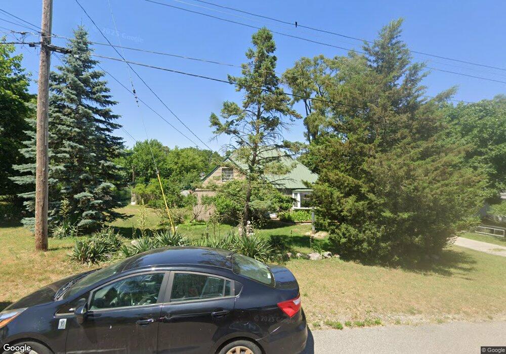
1261 Ecklund St NE Grand Rapids, MI 49505
Creston NeighborhoodEstimated Value: $283,000 - $330,203
2
Beds
1
Bath
1
Sq Ft
$308,051/Sq Ft
Est. Value
About This Home
This home is located at 1261 Ecklund St NE, Grand Rapids, MI 49505 and is currently estimated at $308,051, approximately $308,051 per square foot. 1261 Ecklund St NE is a home located in Kent County with nearby schools including Riverside Middle School, Union High School, and All Saints Academy - Lower Campus.
Ownership History
Date
Name
Owned For
Owner Type
Purchase Details
Closed on
Jun 21, 2022
Sold by
Gene Olson Trust
Bought by
Olson Janet M
Current Estimated Value
Purchase Details
Closed on
Dec 28, 1992
Purchase Details
Closed on
Jun 11, 1991
Sold by
Vanheest Vanheest J J and Vanheest Olson G
Bought by
Olson Gene E Doris Trust
Purchase Details
Closed on
Jun 10, 1991
Sold by
Vanheest Vanheest C C and Vanheest Vanhest J
Bought by
Olson Gene E Doris Trust
Purchase Details
Closed on
Sep 1, 1988
Sold by
Vanheest Vanheest C C and Vanheest Vanheest
Bought by
Olson Gene E Doris Trust
Create a Home Valuation Report for This Property
The Home Valuation Report is an in-depth analysis detailing your home's value as well as a comparison with similar homes in the area
Home Values in the Area
Average Home Value in this Area
Purchase History
| Date | Buyer | Sale Price | Title Company |
|---|---|---|---|
| Olson Janet M | -- | None Listed On Document | |
| -- | -- | -- | |
| Olson Gene E Doris Trust | $48,000 | -- | |
| Olson Gene E Doris Trust | $30,700 | -- | |
| Olson Gene E Doris Trust | -- | -- |
Source: Public Records
Tax History
| Year | Tax Paid | Tax Assessment Tax Assessment Total Assessment is a certain percentage of the fair market value that is determined by local assessors to be the total taxable value of land and additions on the property. | Land | Improvement |
|---|---|---|---|---|
| 2025 | $1,883 | $159,500 | $0 | $0 |
| 2024 | $19 | $139,900 | $0 | $0 |
| 2023 | $1,910 | $123,500 | $0 | $0 |
| 2022 | $2,793 | $117,700 | $0 | $0 |
| 2021 | $2,721 | $103,200 | $0 | $0 |
| 2020 | $2,630 | $92,400 | $0 | $0 |
| 2019 | $2,693 | $82,600 | $0 | $0 |
| 2018 | $2,610 | $72,200 | $0 | $0 |
| 2017 | $2,547 | $63,400 | $0 | $0 |
| 2016 | $2,559 | $59,800 | $0 | $0 |
| 2015 | -- | $59,800 | $0 | $0 |
| 2013 | -- | $54,400 | $0 | $0 |
Source: Public Records
Map
Nearby Homes
- 2208 Dawson Ave NE
- 1421 Aberdeen St NE
- 2101 Houseman Ave NE
- 1555 Knapp St NE
- 1643 Aberdeen St NE
- 1313 Ellsmere St NE
- 1080 Lockridge Dr NE
- 2710 Fuller Ave NE
- 850 Hollywood St NE
- 938 Northwood St NE
- 939 Northwood St NE
- 1237 Dale Ct NE
- 1661 Herrick Ave NE
- 1696 Ball Ave NE
- 540 Woodridge St NE
- 3030 Plainfield Ave NE
- 1537 Diamond Ave NE
- 2061 Ter van Dr NE
- 2335 Sinclair Ave NE
- 2144 Ter van Dr NE
- 1243 Ecklund St NE
- 1258 S Dorroll St NE
- 1265 Ecklund St NE
- 1262 S Dorroll St NE
- 1252 S Dorroll St NE
- 1237 Ecklund St NE
- 1300 S Dorroll St NE
- 1244 S Dorroll St NE
- 1231 Ecklund St NE
- 1256 Ecklund St NE
- 1248 Ecklund St NE
- 1308 S Dorroll St NE
- 1242 Ecklund St NE
- 1315 Ecklund St NE
- 1236 Ecklund St NE
- 1261 S Dorroll St NE
- 1310 Ecklund St NE
- 1219 Ecklund St NE
- 1249 S Dorroll St NE
- 1314 S Dorroll St NE
Your Personal Tour Guide
Ask me questions while you tour the home.