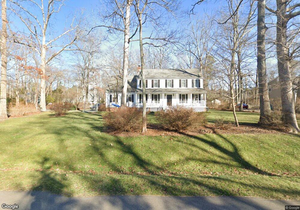
12611 Foxstone Ct Midlothian, VA 23113
Roxshire NeighborhoodEstimated Value: $622,000 - $641,000
About This Home
This home is located at 12611 Foxstone Ct, Midlothian, VA 23113 and is currently estimated at $632,683, approximately $251 per square foot. 12611 Foxstone Ct is a home located in Chesterfield County with nearby schools including Robious Elementary School, Robious Middle School, and James River High School.
Ownership History
We collect this data history from publicly available records. To have your information removed, we recommend requesting removal directly through your county’s website.
Purchase Details
Home Financials for this Owner
Home Financials are based on the most recent Mortgage that was taken out on this home.Home Values in the Area
Average Home Value in this Area
Purchase History
We collect this data history from publicly available records. To have your information removed, we recommend requesting removal directly through your county’s website.
| Date | Buyer | Sale Price | Title Company |
|---|---|---|---|
| $316,900 | -- |
Mortgage History
We collect this data history from publicly available records. To have your information removed, we recommend requesting removal directly through your county’s website.
| Date | Status | Borrower | Loan Amount |
|---|---|---|---|
| Open | $253,520 |
Tax History
We collect this data history from publicly available records. To have your information removed, we recommend requesting removal directly through your county’s website.
| Year | Tax Paid | Tax Assessment Tax Assessment Total Assessment is a certain percentage of the fair market value that is determined by local assessors to be the total taxable value of land and additions on the property. | Land | Improvement |
|---|---|---|---|---|
| 2026 | $4,870 | $544,400 | $155,000 | $389,400 |
| 2025 | $4,870 | $507,900 | $145,000 | $362,900 |
| 2024 | $4,545 | $485,900 | $135,000 | $350,900 |
| 2023 | $3,859 | $424,100 | $125,000 | $299,100 |
| 2022 | $3,722 | $404,600 | $115,000 | $289,600 |
| 2021 | $3,533 | $364,900 | $104,000 | $260,900 |
| 2020 | $3,341 | $351,700 | $104,000 | $247,700 |
| 2019 | $3,313 | $348,700 | $101,000 | $247,700 |
| 2018 | $3,192 | $336,000 | $99,000 | $237,000 |
| 2017 | $3,206 | $334,000 | $97,000 | $237,000 |
| 2016 | $3,192 | $332,500 | $97,000 | $235,500 |
| 2015 | $3,140 | $324,500 | $89,000 | $235,500 |
| 2014 | $3,036 | $313,600 | $82,000 | $231,600 |
Map
- 2611 Olde Stone Rd
- 2615 Salisbury Rd
- 12601 Swanhurst Cir
- 2331 Chartstone Dr
- 2301 Chartstone Dr
- 13311 Glendower Rd
- 12111 Auger Ln
- 2312 Victoria Crossing Ln
- 13030 River Hills Dr
- 13407 Westwell Dr
- 3100 Sodbury Ct
- 13155 Sodbury Dr
- 2725 Stonegate Ct
- 13101 Rodington Ct
- 11949 W Briar Patch Dr
- 11827 N Briar Patch Dr
- 3501 Old Gun Rd W
- 11939 W Briar Patch Dr
- 11610 E Briar Patch Dr
- 3530 Old Gun Rd W
- 2611 Swanhurst Dr
- 12603 Foxstone Ct
- 2701 Swanhurst Dr
- 12701 Foxstone Rd
- 2601 Swanhurst Dr
- 12601 Foxstone Ct
- 12700 Knightcross Rd
- 2700 Swanhurst Dr
- 2709 Swanhurst Dr
- 12600 Foxstone Ct
- 2591 Swanhurst Dr
- 2716 Swanhurst Dr
- 12710 Knightcross Rd
- 2717 Swanhurst Dr
- 12721 Foxstone Rd
- 12720 Foxstone Rd
- 2581 Swanhurst Dr
- 12501 Robious Rd
- 12701 Knightcross Rd
- 2730 Swanhurst Dr
Ask me questions while you tour the home.