12655 Highway 62 Eagle Point, OR 97524
Estimated Value: $500,000 - $516,066
About This Home
This home is located at 12655 Highway 62, Eagle Point, OR 97524 and is currently estimated at $508,033, approximately $274 per square foot. 12655 Highway 62 is a home located in Jackson County with nearby schools including Eagle Rock Elementary School, Eagle Point Middle School, and White Mountain Middle School.
Ownership History
We collect this data history from publicly available records. To have your information removed, we recommend requesting removal directly through your county’s website.
Purchase Details
Home Financials for this Owner
Home Financials are based on the most recent Mortgage that was taken out on this home.Purchase History
We collect this data history from publicly available records. To have your information removed, we recommend requesting removal directly through your county’s website.
| Date | Buyer | Sale Price | Title Company |
|---|---|---|---|
| $580,000 | Ticor Title |
Mortgage History
We collect this data history from publicly available records. To have your information removed, we recommend requesting removal directly through your county’s website.
| Date | Status | Borrower | Loan Amount |
|---|---|---|---|
| Open | $380,000 |
Tax History
We collect this data history from publicly available records. To have your information removed, we recommend requesting removal directly through your county’s website.
| Year | Tax Paid | Tax Assessment Tax Assessment Total Assessment is a certain percentage of the fair market value that is determined by local assessors to be the total taxable value of land and additions on the property. | Land | Improvement |
|---|---|---|---|---|
| 2026 | $2,925 | $253,750 | -- | -- |
| 2025 | $2,849 | $246,360 | $115,600 | $130,760 |
| 2024 | $2,849 | $239,190 | $74,870 | $164,320 |
| 2023 | $2,752 | $232,230 | $72,700 | $159,530 |
| 2022 | $2,680 | $232,230 | $72,700 | $159,530 |
| 2021 | $2,602 | $225,470 | $70,590 | $154,880 |
| 2020 | $2,810 | $218,910 | $68,540 | $150,370 |
| 2019 | $2,775 | $206,350 | $64,610 | $141,740 |
| 2018 | $2,712 | $200,340 | $62,730 | $137,610 |
| 2017 | $2,648 | $200,340 | $62,730 | $137,610 |
| 2016 | $2,580 | $188,850 | $59,130 | $129,720 |
| 2015 | $2,492 | $188,850 | $59,130 | $129,720 |
| 2014 | $2,421 | $178,010 | $55,730 | $122,280 |
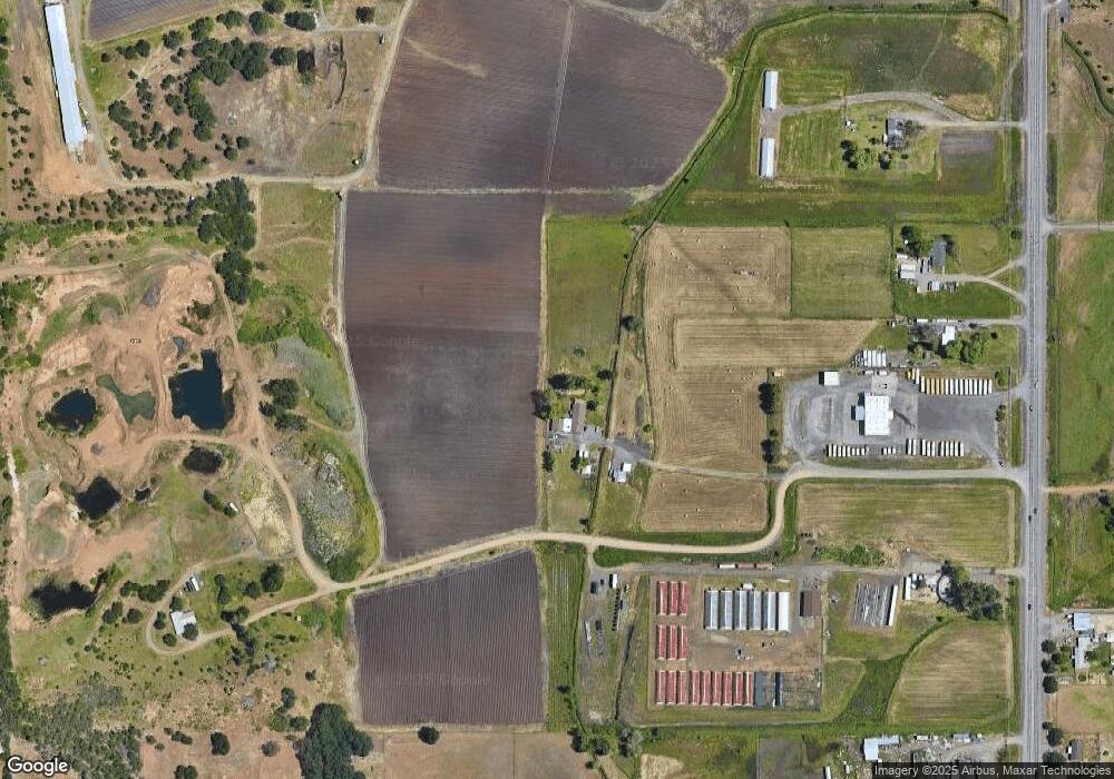
Map
- 417 E Rolling Hills Dr
- 1560 Brentwood Dr
- 990 Win Way
- 602 Barton Rd
- 17 Meadowfield Cir
- 944 Stonewater Dr
- 912 Stonewater Dr
- 1017 Havenwood Dr
- 1044 Havenwood Dr
- 1056 Highlands Dr
- 1174 Highlands Dr
- 589 N Heights Dr
- 445 Mount Castle Dr
- 449 Teakwood Dr
- 460 Montclair Way
- 430 Crystal Dr
- 441 Crystal Dr
- 426 Crystal Dr
- 436 St Clair Way
- 1360 W Linn Rd
- 12753 Highway 62
- 12753 Oregon 62
- 12575 Highway 62
- 12811 Highway 62
- 360 W Rolling Hills Dr
- 12421 Oregon 62
- 250 W Rolling Hills Dr
- 12544 Highway 62
- 12600 Highway 62
- 370 W Rolling Hills Dr
- 40 W Rolling Hills Dr
- 12448 Highway 62
- 420 W Rolling Hills Dr
- 368 W Rolling Hills Dr
- 466 W Rolling Hills Dr
- 195 W Rolling Hills Dr
- 12600 Oregon 62
- 12752 Highway 62
- 12321 Highway 62
- 494 W Rolling Hills Dr
Ask me questions while you tour the home.