Estimated Value: $366,000 - $495,000
6
Beds
4
Baths
3,320
Sq Ft
$134/Sq Ft
Est. Value
About This Home
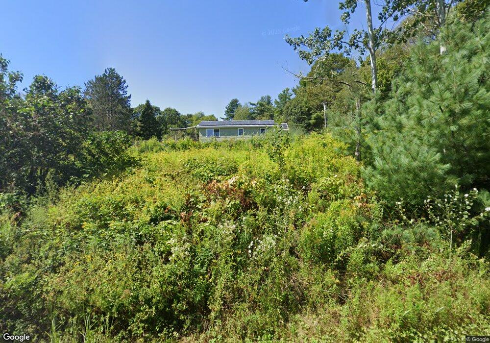
This home is located at 1267 Depot St, Union, ME 04862 and is currently estimated at $443,786, approximately $133 per square foot. 1267 Depot St is a home located in Knox County with nearby schools including Medomak Valley High School.
Ownership History
Date
Name
Owned For
Owner Type
Purchase Details
Closed on
Oct 10, 2024
Sold by
Possee Diane C
Bought by
Possee
Current Estimated Value
Purchase Details
Closed on
Jun 20, 2024
Sold by
Dolham Donna H
Bought by
Possee Diane C
Purchase Details
Closed on
Apr 28, 2023
Sold by
Dolham Dorothy M Est and Dolham
Bought by
Possee Diane C
Purchase Details
Closed on
Aug 1, 2008
Sold by
Wescott Doris E and Wescott Richard L
Bought by
Possee Richard C and Possee Diane C
Home Financials for this Owner
Home Financials are based on the most recent Mortgage that was taken out on this home.
Original Mortgage
$152,000
Interest Rate
6.47%
Mortgage Type
Purchase Money Mortgage
Create a Home Valuation Report for This Property
The Home Valuation Report is an in-depth analysis detailing your home's value as well as a comparison with similar homes in the area
Home Values in the Area
Average Home Value in this Area
Purchase History
| Date | Buyer | Sale Price | Title Company |
|---|---|---|---|
| Possee | -- | None Available | |
| Possee | -- | None Available | |
| Possee | -- | None Available | |
| Possee | -- | None Available | |
| Possee | -- | None Available | |
| Possee | -- | None Available | |
| Possee Diane C | $20,000 | None Available | |
| Possee Diane C | $20,000 | None Available | |
| Possee Diane C | $20,000 | None Available | |
| Possee Diane C | $20,000 | None Available | |
| Possee Diane C | -- | None Available | |
| Possee Diane C | -- | None Available | |
| Possee Diane C | -- | None Available | |
| Possee Diane C | -- | None Available | |
| Possee Richard C | -- | -- | |
| Possee Richard C | -- | -- | |
| Possee Richard C | -- | -- |
Source: Public Records
Mortgage History
| Date | Status | Borrower | Loan Amount |
|---|---|---|---|
| Previous Owner | Possee Richard C | $152,000 |
Source: Public Records
Tax History
| Year | Tax Paid | Tax Assessment Tax Assessment Total Assessment is a certain percentage of the fair market value that is determined by local assessors to be the total taxable value of land and additions on the property. | Land | Improvement |
|---|---|---|---|---|
| 2025 | $5,202 | $391,100 | $92,300 | $298,800 |
| 2024 | $3,505 | $203,800 | $75,800 | $128,000 |
| 2023 | $3,159 | $203,800 | $75,800 | $128,000 |
| 2022 | $3,016 | $203,800 | $75,800 | $128,000 |
| 2021 | $3,041 | $168,000 | $63,300 | $104,700 |
| 2020 | $3,024 | $168,000 | $63,300 | $104,700 |
| 2019 | $3,074 | $168,000 | $63,300 | $104,700 |
| 2018 | $2,990 | $168,000 | $63,300 | $104,700 |
| 2017 | $2,654 | $168,000 | $63,300 | $104,700 |
| 2016 | $2,839 | $168,000 | $63,300 | $104,700 |
| 2015 | $2,756 | $170,100 | $63,300 | $106,800 |
| 2014 | $2,705 | $170,100 | $63,300 | $106,800 |
Source: Public Records
Map
Nearby Homes
- Lot #1 Millay Ln
- 38 Cove Ln
- 3 Clarry Hill Ln
- 00 Clarry Hill Rd
- 38 Jasmine Ln
- 122 Oak Point Ln
- Lot 9 & 15 S Union Rd
- 261 S Union Rd
- 00 Middle Rd
- 1941 Eastern Rd
- 110 Jackson Rd
- 291 Mic Mac Ln
- 380 Wottons Mill Rd
- 2529 Heald Hwy
- 22 Loon Loop
- 108 Hart Rd
- 21 Shepard Hill Rd
- 425 Sennebec Rd
- 32 Pound Hill Rd
- 273 Feylers Corner Rd
- 1277 Depot St
- 1256 Depot St
- 1295 Depot St
- 1245 Depot St S
- 1296 S Depot St S
- 13202000 Depot St
- 1302 Depot St
- 78 Morning Cove Ln
- 1320004 Depot
- 1321 Depot St
- 1320 Depot Street Rt 235
- 1320 Depot Street (Rt 235)
- 13201000 Depot St
- 1300 Depot St
- 010000 Depot St
- 1000000 Depot St
- 100020 Depot St
- 1000022 Depot Street (Route 235)
- 1320000 Depot
- 9999999 Depot St
Your Personal Tour Guide
Ask me questions while you tour the home.