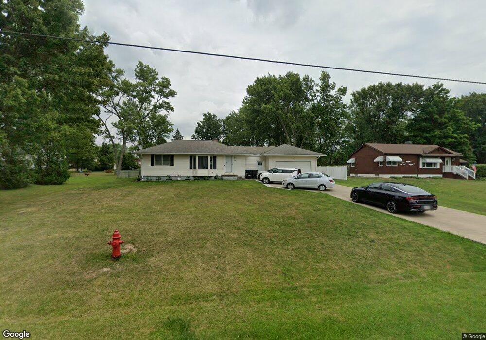
1267 Stearns St Brunswick, OH 44212
Estimated Value: $268,075 - $290,000
3
Beds
2
Baths
927
Sq Ft
$300/Sq Ft
Est. Value
About This Home
This home is located at 1267 Stearns St, Brunswick, OH 44212 and is currently estimated at $278,519, approximately $300 per square foot. 1267 Stearns St is a home located in Medina County with nearby schools including Hickory Ridge Elementary School, Willets Middle School, and Brunswick High School.
Ownership History
Date
Name
Owned For
Owner Type
Purchase Details
Closed on
May 16, 2008
Sold by
Youngblood John H and Youngblood Bonnie G
Bought by
Snider Clint E
Current Estimated Value
Home Financials for this Owner
Home Financials are based on the most recent Mortgage that was taken out on this home.
Original Mortgage
$152,347
Outstanding Balance
$96,733
Interest Rate
5.93%
Mortgage Type
FHA
Estimated Equity
$181,786
Create a Home Valuation Report for This Property
The Home Valuation Report is an in-depth analysis detailing your home's value as well as a comparison with similar homes in the area
Home Values in the Area
Average Home Value in this Area
Purchase History
| Date | Buyer | Sale Price | Title Company |
|---|---|---|---|
| Snider Clint E | $154,500 | -- |
Source: Public Records
Mortgage History
| Date | Status | Borrower | Loan Amount |
|---|---|---|---|
| Open | Snider Clint E | $152,347 |
Source: Public Records
Tax History
| Year | Tax Paid | Tax Assessment Tax Assessment Total Assessment is a certain percentage of the fair market value that is determined by local assessors to be the total taxable value of land and additions on the property. | Land | Improvement |
|---|---|---|---|---|
| 2024 | $4,329 | $80,530 | $24,260 | $56,270 |
| 2023 | $3,983 | $80,530 | $24,260 | $56,270 |
| 2022 | $2,970 | $80,530 | $24,260 | $56,270 |
| 2021 | $2,630 | $63,910 | $19,250 | $44,660 |
| 2020 | $2,366 | $63,910 | $19,250 | $44,660 |
| 2019 | $2,367 | $63,910 | $19,250 | $44,660 |
| 2018 | $2,272 | $61,230 | $16,310 | $44,920 |
| 2017 | $2,275 | $61,230 | $16,310 | $44,920 |
| 2016 | $2,273 | $61,230 | $16,310 | $44,920 |
| 2015 | $2,150 | $54,780 | $17,350 | $37,430 |
| 2014 | $2,143 | $54,780 | $17,350 | $37,430 |
| 2013 | $2,096 | $41,990 | $17,350 | $24,640 |
Source: Public Records
Map
Nearby Homes
- V/L 0.344 AC Walnut Ridge Ave
- V/L 0.69 AC Walnut Ridge Ave
- V/L 0.347 AC Walnut Ridge Ave
- 4619 Center Rd
- 1140 Stearns St
- 1211 Manitoulin Pike
- 4360 Inner Circle Dr
- 1453 Roosevelt Ave
- 1390 Mussel Shoals Dr
- 4347 Inner Circle Dr Unit C2
- 1416 Spyglass Hill Dr
- 4628 Wolff Dr
- 1394 Mussel Shoals Dr
- V/L Pearl Rd
- 0 Pearl Rd Unit 4173749
- 1297 Substation Rd
- 1125 Substation Rd
- 4387 Oak Ridge Trail
- 4339 Oak Ridge Trail
- 4382 Oak Ridge Trail
- 1277 Stearns St
- 1257 Stearns St
- 1287 Stearns St
- 1247 Stearns St
- 1268 Stearns St
- 1258 Stearns St
- 1297 Stearns St
- 1248 Stearns St
- 1288 Stearns St
- 1278 Stearns St
- 1268 Highland Ave
- 1278 Highland Ave
- 1258 Highland Ave
- 1298 Stearns St
- VL Stearns St
- V/L Stearns St
- 1238 Stearns St
- 4547 Walnut Ridge Ave
- VL Walnut Ridge Ave
- VL 70C Walnut Ridge Ave
Your Personal Tour Guide
Ask me questions while you tour the home.