12679 E 900 North Rd Chenoa, IL 61726
Estimated Value: $125,000 - $218,000
2
Beds
1
Bath
1,037
Sq Ft
$178/Sq Ft
Est. Value
About This Home
This home is located at 12679 E 900 North Rd, Chenoa, IL 61726 and is currently estimated at $184,079, approximately $177 per square foot. 12679 E 900 North Rd is a home located in Livingston County with nearby schools including Prairie Central High School.
Ownership History
Date
Name
Owned For
Owner Type
Purchase Details
Closed on
Aug 28, 2020
Sold by
Dumser Valerie L and Valerie L Dumser Trust
Bought by
Michaels Sarah
Current Estimated Value
Purchase Details
Closed on
Dec 7, 2019
Sold by
Offner Jennifer L
Bought by
Dumser Valerie L
Purchase Details
Closed on
Nov 4, 2019
Sold by
Dumser Valerie L and Offner Jennifer L
Bought by
Dumser Valerie L and Valerie L Dumser Trust
Create a Home Valuation Report for This Property
The Home Valuation Report is an in-depth analysis detailing your home's value as well as a comparison with similar homes in the area
Purchase History
| Date | Buyer | Sale Price | Title Company |
|---|---|---|---|
| Michaels Sarah | $55,000 | None Available | |
| Dumser Valerie L | -- | None Available | |
| Dumser Valerie L | -- | None Available |
Source: Public Records
Tax History
| Year | Tax Paid | Tax Assessment Tax Assessment Total Assessment is a certain percentage of the fair market value that is determined by local assessors to be the total taxable value of land and additions on the property. | Land | Improvement |
|---|---|---|---|---|
| 2024 | $3,522 | $50,645 | $17,548 | $33,097 |
| 2023 | $3,208 | $46,209 | $16,011 | $30,198 |
| 2022 | $2,373 | $35,529 | $14,193 | $21,336 |
| 2021 | $2,214 | $33,392 | $13,339 | $20,053 |
| 2020 | $2,580 | $31,802 | $12,704 | $19,098 |
| 2019 | $1,724 | $31,802 | $12,704 | $19,098 |
| 2018 | $1,860 | $33,043 | $12,920 | $20,123 |
| 2017 | $1,748 | $32,081 | $12,544 | $19,537 |
| 2016 | $1,677 | $31,147 | $12,179 | $18,968 |
| 2015 | $1,468 | $28,947 | $11,319 | $17,628 |
| 2013 | $1,518 | $30,980 | $11,459 | $19,521 |
Source: Public Records
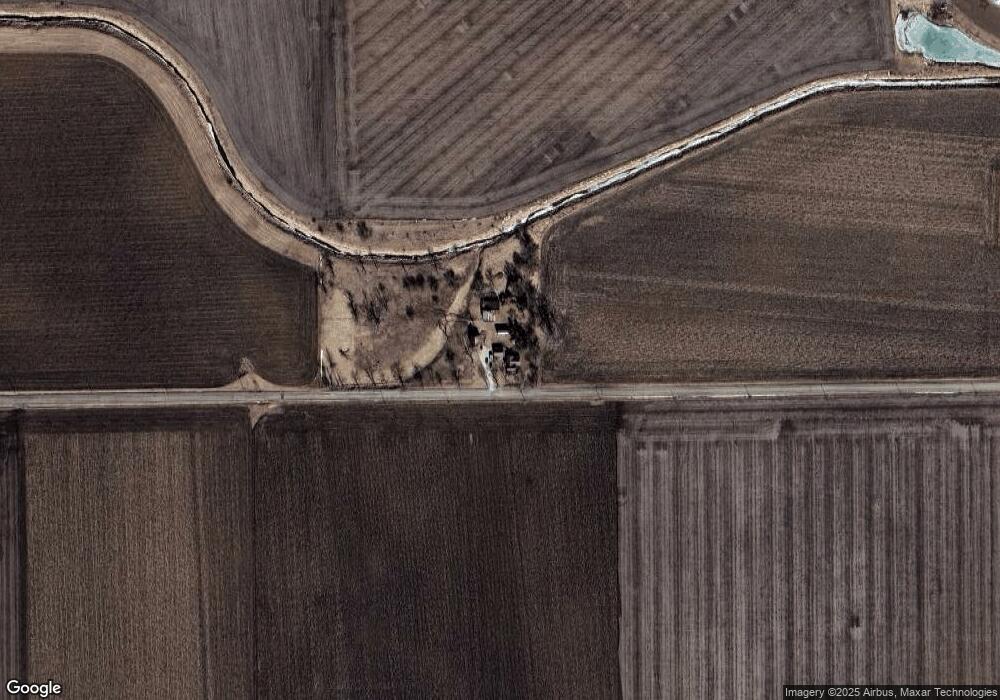
Map
Nearby Homes
- 602 N 4th Ave
- 301 N 2nd Ave
- 202 N 2nd Ave
- 605 Morningside Dr
- 507 E Cemetery Ave
- 214 W Owsley St
- Lot 7 Block 11 S Morehead St
- 106 Champion Dr
- 10147 N 1000 East Rd
- 10788 N 1000 East Rd
- 33574 Oak St
- 9898 E 1200 North Rd
- 1702 S Plum St
- 10735 E 1700 Rd N
- 606 Carol Ct Unit B-2
- 126 W Lowell Ave
- 411 W Humiston St
- 44 Crystal Ct Unit B-2
- 43 Crystal Ct Unit B-1
- 25 Crystal Ct Unit D1
Your Personal Tour Guide
Ask me questions while you tour the home.