Estimated Value: $71,000 - $248,000
2
Beds
1
Bath
1,125
Sq Ft
$146/Sq Ft
Est. Value
About This Home
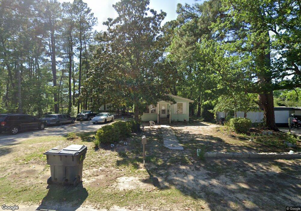
This home is located at 127 11th Ave Unit 1, Aynor, SC 29511 and is currently estimated at $164,435, approximately $146 per square foot. 127 11th Ave Unit 1 is a home located in Horry County with nearby schools including Aynor Elementary School, Aynor Middle School, and Aynor High School.
Ownership History
Date
Name
Owned For
Owner Type
Purchase Details
Closed on
Oct 10, 2013
Sold by
Johnson Blanch
Bought by
Gerald Timothy P
Current Estimated Value
Home Financials for this Owner
Home Financials are based on the most recent Mortgage that was taken out on this home.
Original Mortgage
$25,000
Outstanding Balance
$18,611
Interest Rate
4.57%
Mortgage Type
Purchase Money Mortgage
Estimated Equity
$145,824
Purchase Details
Closed on
Aug 1, 2002
Sold by
Best Dorothy
Bought by
Johnson Francis C
Create a Home Valuation Report for This Property
The Home Valuation Report is an in-depth analysis detailing your home's value as well as a comparison with similar homes in the area
Home Values in the Area
Average Home Value in this Area
Purchase History
| Date | Buyer | Sale Price | Title Company |
|---|---|---|---|
| Gerald Timothy P | $25,000 | -- | |
| Gerald Timothy P | $25,000 | -- | |
| Johnson Francis C | -- | -- | |
| Johnson Francis C | -- | -- |
Source: Public Records
Mortgage History
| Date | Status | Borrower | Loan Amount |
|---|---|---|---|
| Open | Gerald Timothy P | $25,000 | |
| Closed | Gerald Timothy P | $25,000 |
Source: Public Records
Tax History
| Year | Tax Paid | Tax Assessment Tax Assessment Total Assessment is a certain percentage of the fair market value that is determined by local assessors to be the total taxable value of land and additions on the property. | Land | Improvement |
|---|---|---|---|---|
| 2025 | $497 | $0 | $0 | $0 |
| 2024 | $497 | $4,500 | $1,288 | $3,212 |
| 2023 | $497 | $1,666 | $403 | $1,263 |
| 2021 | $451 | $3,530 | $476 | $3,054 |
| 2020 | $435 | $3,530 | $476 | $3,054 |
| 2019 | $435 | $3,530 | $476 | $3,054 |
| 2018 | $0 | $1,448 | $350 | $1,098 |
| 2017 | $388 | $1,448 | $350 | $1,098 |
| 2016 | -- | $1,448 | $350 | $1,098 |
| 2015 | $388 | $1,449 | $351 | $1,098 |
| 2014 | $377 | $1,449 | $351 | $1,098 |
Source: Public Records
Map
Nearby Homes
- 1242 Cappin Ln
- 784 12th Ave
- 168 Rosedale Dr
- 365 5th Ave Unit Lot 2
- 355 5th Ave Unit Lot 1
- 375 5th Ave Unit Lot 3
- 204 Rosedale Dr
- 856 8th Ave
- 611 Bay St Unit Lot 3
- 609 Bay St Unit Lot 2
- 605 Bay St Unit Lot 1
- Lot 1 Ash St
- 2829 Highway 129
- 568 Rosedale Dr
- 242 Blue Jacket Dr
- TBD J H Martin Rd
- tbd Jordan Rd
- 240 Country Grove Way
- 256 Country Grove Way
- 276 Country Grove Way
Your Personal Tour Guide
Ask me questions while you tour the home.