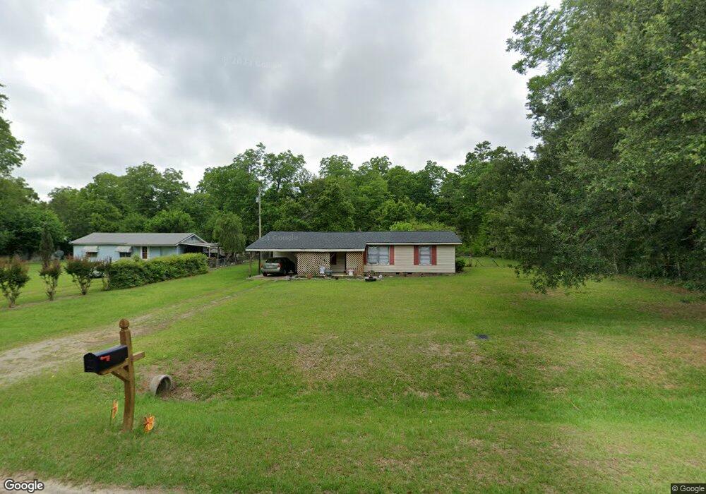
127 Bennett Dr Albany, GA 31705
Estimated Value: $60,937 - $111,000
2
Beds
1
Bath
1,080
Sq Ft
$74/Sq Ft
Est. Value
About This Home
This home is located at 127 Bennett Dr, Albany, GA 31705 and is currently estimated at $80,234, approximately $74 per square foot. 127 Bennett Dr is a home located in Dougherty County with nearby schools including Turner Elementary School, Albany Middle School, and Dougherty Comprehensive High School.
Ownership History
Date
Name
Owned For
Owner Type
Purchase Details
Closed on
Sep 2, 2003
Sold by
Stephens Jimmy Martin
Bought by
Hines James E and Hines Linda L
Current Estimated Value
Purchase Details
Closed on
Jan 20, 1998
Sold by
Housin& Urban Dev
Bought by
Stephens Jimmy Martin
Purchase Details
Closed on
Jan 8, 1997
Sold by
Suntrust Mortgage Inc
Bought by
Housing & Urban Dev
Purchase Details
Closed on
Jan 7, 1997
Sold by
Collins John H & Jewell S By Atty/Fact
Bought by
Suntrust Mortgage Co
Purchase Details
Closed on
Jan 3, 1989
Sold by
Collins John H Etal
Bought by
Lane William and Lane Mary
Create a Home Valuation Report for This Property
The Home Valuation Report is an in-depth analysis detailing your home's value as well as a comparison with similar homes in the area
Purchase History
| Date | Buyer | Sale Price | Title Company |
|---|---|---|---|
| Hines James E | $35,000 | -- | |
| Stephens Jimmy Martin | -- | -- | |
| Housing & Urban Dev | -- | -- | |
| Suntrust Mortgage Co | -- | -- | |
| Lane William | $19,900 | -- |
Source: Public Records
Tax History
| Year | Tax Paid | Tax Assessment Tax Assessment Total Assessment is a certain percentage of the fair market value that is determined by local assessors to be the total taxable value of land and additions on the property. | Land | Improvement |
|---|---|---|---|---|
| 2025 | $726 | $14,760 | $480 | $14,280 |
| 2024 | $726 | $15,480 | $480 | $15,000 |
| 2023 | $716 | $15,480 | $480 | $15,000 |
| 2022 | $717 | $15,480 | $480 | $15,000 |
| 2021 | $664 | $15,480 | $480 | $15,000 |
| 2020 | $665 | $15,480 | $480 | $15,000 |
| 2019 | $667 | $15,480 | $480 | $15,000 |
| 2018 | $668 | $15,480 | $480 | $15,000 |
| 2017 | $622 | $15,480 | $480 | $15,000 |
| 2016 | $622 | $15,480 | $480 | $15,000 |
| 2015 | $623 | $15,480 | $480 | $15,000 |
| 2014 | $669 | $16,840 | $1,840 | $15,000 |
Source: Public Records
Map
Nearby Homes
- 128 Bennett Dr
- 3007 E Park Ct
- 3431 Gladys Ct
- 312 Pinson Rd
- 2802 Banks Ave
- 148 Force Dr
- 311 Pryor St
- Colley Ave
- 0 Lumpkin St
- 205 Gatewood Dr
- 802 Branch Rd
- 920 Cordele Rd
- 3625 Sylvester Rd
- 2531 Cherokee Dr
- 2529 Cherokee Dr
- 3620 Radial Ave
- 2539 Crescent Dr
- 511 Johnson Rd
- 410 Johnson Rd
- 3722 Countryside Dr
- 125 Bennett Dr
- 131 Bennett Dr
- 121 Bennett Dr
- 133 Bennett Dr
- 3205 Sylvester Rd
- 117 Bennett Dr
- 115 Bennett Dr
- 3134 War Eagle Ave
- 3204 War Eagle Ave
- 111 Bennett Dr
- 3206 War Eagle Ave
- 3208 War Eagle Ave
- 3315 Sylvester Hwy
- 3315 Sylvester Hwy Unit 11
- 3315 Sylvester Hwy Unit 33
- 3315 Sylvester Hwy Unit 8
- 3315 Sylvester Hwy Unit 65
- 3315 Sylvester Hwy Unit 63
- 3315 Sylvester Hwy Unit 31
- 3315 Sylvester Hwy Unit 28
Your Personal Tour Guide
Ask me questions while you tour the home.