Estimated Value: $48,271 - $113,000
Studio
2
Baths
960
Sq Ft
$70/Sq Ft
Est. Value
About This Home
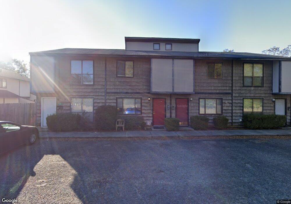
This home is located at 127 Depot Ln Unit E, Ozark, AL 36360 and is currently estimated at $66,818, approximately $69 per square foot. 127 Depot Ln Unit E is a home located in Dale County with nearby schools including Lisenby Primary School, Mixon Intermediate School, and D. A. Smith Middle School.
Ownership History
Date
Name
Owned For
Owner Type
Purchase Details
Closed on
Jan 19, 2021
Sold by
Richard Falt Schultz Estate
Bought by
Bell Allen Rancel
Current Estimated Value
Home Financials for this Owner
Home Financials are based on the most recent Mortgage that was taken out on this home.
Original Mortgage
$29,184
Outstanding Balance
$25,687
Interest Rate
2.71%
Mortgage Type
New Conventional
Estimated Equity
$41,131
Purchase Details
Closed on
Nov 29, 2016
Sold by
Secretary Of Housing And Urban Developme
Bought by
Schultz Richard
Purchase Details
Closed on
Dec 7, 2015
Sold by
Jpmorgan Chase Bank Na
Bought by
Jpmorgan Chase Bank Na
Create a Home Valuation Report for This Property
The Home Valuation Report is an in-depth analysis detailing your home's value as well as a comparison with similar homes in the area
Purchase History
| Date | Buyer | Sale Price | Title Company |
|---|---|---|---|
| Bell Allen Rancel | $35,000 | None Available | |
| Schultz Richard | $28,000 | None Available | |
| Jpmorgan Chase Bank Na | $36,960 | -- |
Source: Public Records
Mortgage History
| Date | Status | Borrower | Loan Amount |
|---|---|---|---|
| Open | Bell Allen Rancel | $29,184 |
Source: Public Records
Tax History
| Year | Tax Paid | Tax Assessment Tax Assessment Total Assessment is a certain percentage of the fair market value that is determined by local assessors to be the total taxable value of land and additions on the property. | Land | Improvement |
|---|---|---|---|---|
| 2025 | $666 | $13,180 | $660 | $12,520 |
| 2024 | $666 | $12,320 | $600 | $11,720 |
| 2023 | $622 | $10,700 | $600 | $10,100 |
| 2022 | $441 | $8,740 | $8,740 | $0 |
| 2021 | $151 | $4,060 | $300 | $3,760 |
| 2020 | $151 | $4,420 | $300 | $4,120 |
| 2019 | $169 | $4,420 | $300 | $4,120 |
| 2018 | $172 | $4,480 | $300 | $4,180 |
| 2017 | $0 | $8,980 | $600 | $8,380 |
| 2016 | $172 | $4,480 | $300 | $4,180 |
| 2015 | $208 | $5,180 | $300 | $4,880 |
| 2014 | $204 | $5,100 | $300 | $4,800 |
| 2013 | $202 | $5,100 | $300 | $4,800 |
Source: Public Records
Map
Nearby Homes
- 467 127 141 Eufaula St & Depot Ln
- 467 127 141 E Eufaula Depot St
- 546 E Broad St
- 373 E College St
- 385 E Broad St
- 174 Roosevelt Ave
- 722 E Broad St
- 275 White Ave
- 0 Ellens Path 23b Unit 204863
- 0 Ellens Path 26b Unit 204858
- 0 Pierce's Station 36c Unit 204851
- 0 Pierce's Station 49c Unit 204846
- 0 Pierces Station 46c Unit 207554
- 0 Pierces Station 18a Unit 204868
- 0 Ellens Path 21b Unit 204866
- 0 Pierces Station 15a Unit 204869
- 0 Ellen's Path 32b Unit 204855
- 0 Ellens Path 34b Unit 204853
- 0 Ellens Path 24b Unit 204862
- 0 Ellens Path 31b Unit 204856
- 127 Depot Ln Unit F
- 127 Depot Ln
- 4 Eufaula St
- 3 Eufaula St
- 2 Eufaula St
- 489 E Eufaula St
- 467 E Eufaula St Unit A
- 467 E Eufaula St
- 623 E Eufaula St
- 643 E Eufaula St
- 445 E Eufaula St
- 445 E Eufaula St Unit 451
- 141 Depot Ln Unit I
- 141 Depot Ln Unit J
- 141 Depot Ln Unit K
- 141 Depot Ln Unit L
- 141 Depot Ln
- 505 E Eufaula St
- 604 E Eufaula St
- 519 E Eufaula St
Your Personal Tour Guide
Ask me questions while you tour the home.