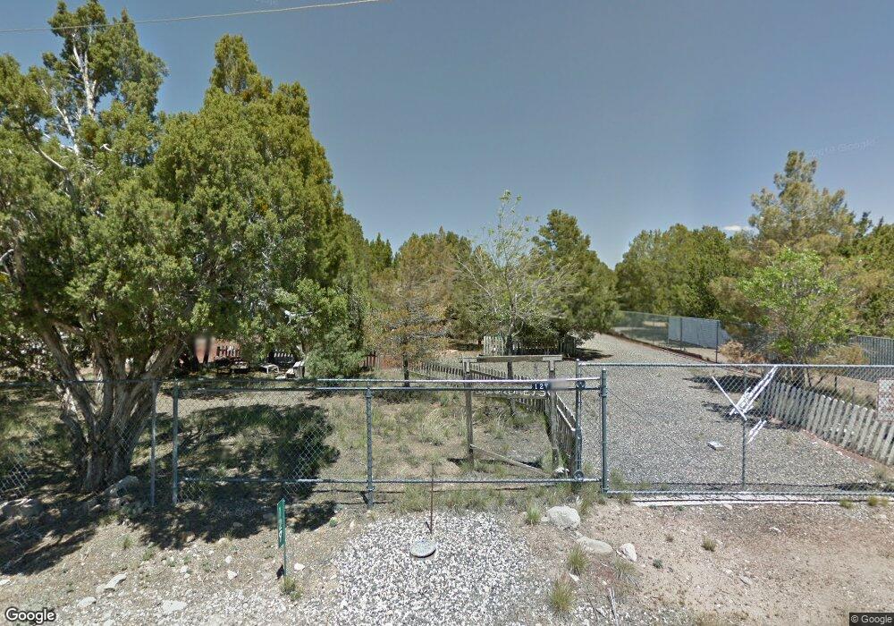
127 E Forest Dr Central, UT 84722
Estimated Value: $253,476 - $284,000
2
Beds
1
Bath
800
Sq Ft
$335/Sq Ft
Est. Value
About This Home
This home is located at 127 E Forest Dr, Central, UT 84722 and is currently estimated at $268,119, approximately $335 per square foot. 127 E Forest Dr is a home located in Washington County with nearby schools including Enterprise School and Enterprise High School.
Ownership History
Date
Name
Owned For
Owner Type
Purchase Details
Closed on
Dec 13, 2016
Sold by
Dixon Mary V
Bought by
Bahlamnn Robert and Bahlamnn Shirley
Current Estimated Value
Home Financials for this Owner
Home Financials are based on the most recent Mortgage that was taken out on this home.
Original Mortgage
$49,950
Outstanding Balance
$24,427
Interest Rate
3.94%
Mortgage Type
New Conventional
Estimated Equity
$243,692
Purchase Details
Closed on
Oct 3, 2016
Sold by
Cordrey Kenneth
Bought by
Dixon Mary V and Oren R Cordey And Marie F Cordrey Family
Purchase Details
Closed on
Sep 30, 2016
Sold by
Cordrey Oren
Bought by
Dixon Mary V and Oren R Cordrey And Marie F Cordrey Famil
Purchase Details
Closed on
Sep 29, 2016
Sold by
Dixon Mary V and Cordrey Marie F
Bought by
Dixon Mary V
Create a Home Valuation Report for This Property
The Home Valuation Report is an in-depth analysis detailing your home's value as well as a comparison with similar homes in the area
Home Values in the Area
Average Home Value in this Area
Purchase History
| Date | Buyer | Sale Price | Title Company |
|---|---|---|---|
| Bahlamnn Robert | -- | Terra Title | |
| Dixon Mary V | -- | None Available | |
| Dixon Mary V | -- | None Available | |
| Dixon Mary V | -- | None Available | |
| Dixon Mary V | -- | None Available | |
| Dixion Mary V | -- | None Available |
Source: Public Records
Mortgage History
| Date | Status | Borrower | Loan Amount |
|---|---|---|---|
| Open | Bahlamnn Robert | $49,950 |
Source: Public Records
Tax History
| Year | Tax Paid | Tax Assessment Tax Assessment Total Assessment is a certain percentage of the fair market value that is determined by local assessors to be the total taxable value of land and additions on the property. | Land | Improvement |
|---|---|---|---|---|
| 2025 | $692 | $118,360 | $41,250 | $77,110 |
| 2023 | $734 | $123,915 | $46,750 | $77,165 |
| 2022 | $692 | $109,395 | $30,250 | $79,145 |
| 2021 | $657 | $155,900 | $42,000 | $113,900 |
| 2020 | $615 | $138,800 | $42,000 | $96,800 |
| 2019 | $487 | $107,700 | $20,000 | $87,700 |
| 2018 | $472 | $52,965 | $0 | $0 |
| 2017 | $774 | $86,800 | $0 | $0 |
| 2016 | $916 | $82,500 | $0 | $0 |
| 2015 | $801 | $79,600 | $0 | $0 |
| 2014 | $658 | $66,300 | $0 | $0 |
Source: Public Records
Map
Nearby Homes
- 4 E Forest Dr
- 128 E Forest Dr
- 0 E Forest Dr
- 165 E Forest Dr Unit 4
- 177 E Forest Dr
- 202 E Rye Dr
- 348 N Lodge Rd
- 380 W Butch Cassidy Cir
- 425 E Mule Deer Rd
- 115 E Hunter Ln
- 324 Hillside Cir
- 183 N Matt Dillon Trail
- 375 Hillcrest Cir
- 442 E Pine View Dr
- 0 Hillcrest Cir
- 207 E Red Hill Rd
- 328 E Hillcrest
- 342 E Foothill Cir
- 0 Utah 18
- 706 E Cottontail Rd
- 107 E Forest Dr
- 146 E Forest Dr
- 00 E Forest Dr
- 147 E Forest Dr
- 147 E Forest Dr Unit 3
- 165 E Forest Dr Unit Lot 4
- 177 E Forest Dr Unit 5
- 174 E Forest Dr
- 127 Orchard Dr
- 145 Orchard Dr
- 145 E Orchard
- 0 E Forest 6 Dr
- 157 Orchard Dr
- 193 E Forest Dr
- 157 E Orchard
- 171 Orchard Dr
- 192 E Forest Dr
- 171 Orchard Dr
- 4 Orchard Dr
- 0 Orchard Dr
Your Personal Tour Guide
Ask me questions while you tour the home.