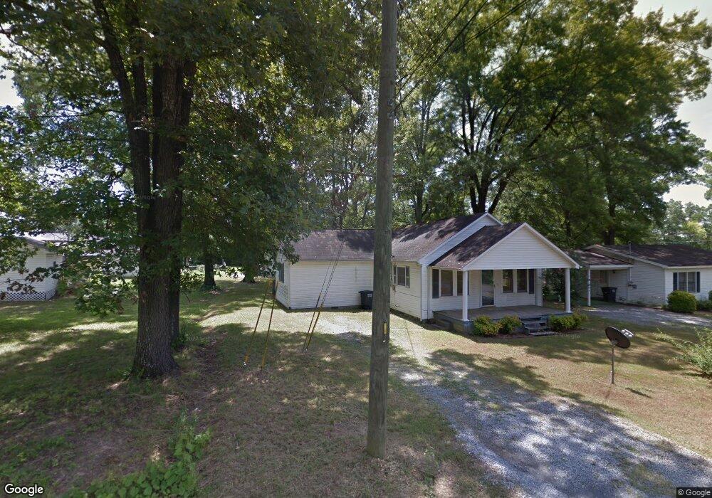
127 Erwin St Calhoun, GA 30701
Calhoun AreaEstimated Value: $171,000 - $263,000
About This Home
This home is located at 127 Erwin St, Calhoun, GA 30701 and is currently estimated at $221,325, approximately $182 per square foot. 127 Erwin St is a home located in Gordon County with nearby schools including Belwood Elementary School and Philadelphia Christian School.
Ownership History
We collect this data history from publicly available records. To have your information removed, we recommend requesting removal directly through your county’s website.
Purchase Details
Purchase Details
Purchase Details
Purchase History
We collect this data history from publicly available records. To have your information removed, we recommend requesting removal directly through your county’s website.
| Date | Buyer | Sale Price | Title Company |
|---|---|---|---|
| $30,000 | -- | ||
| $133,500 | -- | ||
| $12,000 | -- |
Tax History
We collect this data history from publicly available records. To have your information removed, we recommend requesting removal directly through your county’s website.
| Year | Tax Paid | Tax Assessment Tax Assessment Total Assessment is a certain percentage of the fair market value that is determined by local assessors to be the total taxable value of land and additions on the property. | Land | Improvement |
|---|---|---|---|---|
| 2025 | $1,070 | $40,728 | $4,080 | $36,648 |
| 2024 | $1,019 | $36,252 | $4,080 | $32,172 |
| 2023 | $920 | $32,708 | $3,920 | $28,788 |
| 2022 | $295 | $31,032 | $3,920 | $27,112 |
| 2021 | $753 | $25,296 | $3,920 | $21,376 |
| 2020 | $771 | $25,708 | $3,920 | $21,788 |
| 2019 | $770 | $25,708 | $3,920 | $21,788 |
| 2018 | $214 | $22,188 | $3,720 | $18,468 |
| 2017 | $207 | $21,068 | $3,720 | $17,348 |
| 2016 | $208 | $21,068 | $3,720 | $17,348 |
| 2015 | $198 | $19,828 | $3,720 | $16,108 |
| 2014 | $118 | $16,805 | $3,335 | $13,470 |
Map
- 113 Burton Dr
- 1136 S Wall St
- 0 S Wall St Unit 7808137
- 0 W Belmont Dr Unit 10703135
- 0 W Belmont Dr Unit 7729054
- 106A Azalea Dr
- 402 Linda Ln
- 205 Rips Rd
- 00 Hwy 53 and Kenmoreland Cir
- 104 West Ln SE
- 00 Cir
- 1311 Us Highway 41
- 206 West Dr
- 318 Circle Dr
- 511 Circle Dr
- 915 Curtis Parkway Tract 2
- 921 Curtis Parkway Tract 3
- 927 Curtis Parkway Tract 4
- 202 Rory Dr
- 106 Stone Loop
Ask me questions while you tour the home.