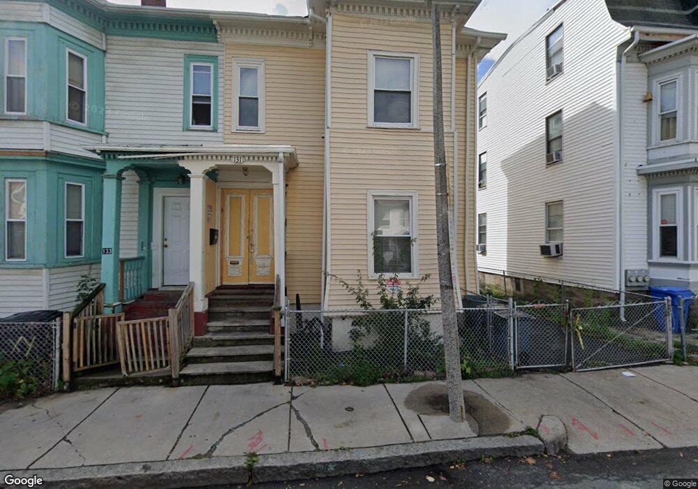
127 Eustis St Roxbury, MA 02119
Lower Roxbury NeighborhoodEstimated Value: $765,000 - $929,000
About This Home
This home is located at 127 Eustis St, Roxbury, MA 02119 and is currently estimated at $839,157, approximately $354 per square foot. 127 Eustis St is a home located in Suffolk County with nearby schools including Dudley Street Neighborhood Charter School and City on a Hill Charter Public School.
Ownership History
We collect this data history from publicly available records. To have your information removed, we recommend requesting removal directly through your county’s website.
Purchase Details
Home Values in the Area
Average Home Value in this Area
Purchase History
We collect this data history from publicly available records. To have your information removed, we recommend requesting removal directly through your county’s website.
| Date | Buyer | Sale Price | Title Company |
|---|---|---|---|
| $1,500 | -- |
Mortgage History
We collect this data history from publicly available records. To have your information removed, we recommend requesting removal directly through your county’s website.
| Date | Status | Borrower | Loan Amount |
|---|---|---|---|
| Open | $100,000 | ||
| Closed | $40,000 | ||
| Closed | $85,000 |
Tax History
We collect this data history from publicly available records. To have your information removed, we recommend requesting removal directly through your county’s website.
| Year | Tax Paid | Tax Assessment Tax Assessment Total Assessment is a certain percentage of the fair market value that is determined by local assessors to be the total taxable value of land and additions on the property. | Land | Improvement |
|---|---|---|---|---|
| 2025 | $7,103 | $613,400 | $177,200 | $436,200 |
| 2024 | $6,094 | $559,100 | $148,600 | $410,500 |
| 2023 | $5,611 | $522,400 | $138,900 | $383,500 |
| 2022 | $5,215 | $479,300 | $127,400 | $351,900 |
| 2021 | $4,780 | $448,000 | $119,100 | $328,900 |
| 2020 | $3,721 | $352,400 | $100,400 | $252,000 |
| 2019 | $3,471 | $329,300 | $77,500 | $251,800 |
| 2018 | $3,194 | $304,800 | $77,500 | $227,300 |
| 2017 | $3,228 | $304,800 | $77,500 | $227,300 |
| 2016 | $2,993 | $272,100 | $77,500 | $194,600 |
| 2015 | $2,721 | $224,700 | $76,500 | $148,200 |
| 2014 | $2,638 | $209,700 | $76,500 | $133,200 |
Map
- 299 Dudley St
- 301-305 Dudley St
- 4 Kearsarge Ave
- 62 Winthrop St Unit 2
- 10 Taber St Unit 603
- 101 Mount Pleasant Ave
- 2149 Washington St Unit 604
- 6 Moreland St
- 10 Roxbury St
- 27 Saint James St
- 431 Melnea Cass Blvd
- 1948 Washington St Unit 2G
- 8-14 Newcomb St Unit 4
- 21 Montrose St
- 881 Harrison Ave Unit 1
- 17 Akron St Unit 2
- 70-72 Northampton St Unit 200
- 16 Perrin St
- 22 Kenilworth St
- 705 Massachusetts Ave Unit 6
- 127 Eustis St Unit 2
- 127 Eustis St Unit 1
- 131 Eustis St
- 125 Eustis St
- 133 Eustis St
- 133 Eustis St Unit 2
- 133 Eustis St Unit 1
- 139 Eustis St
- 268 Dudley St Unit 4
- 268 Dudley St Unit 3
- 268 Dudley St Unit 1
- 272 Dudley St Unit 8
- 272 Dudley St Unit 7
- 272 Dudley St Unit 6
- 143 Eustis St
- 276 Dudley St Unit B11
- 276 Dudley St Unit B10
- 276 Dudley St Unit B9
- 276 Dudley St Unit 9
- 145 Eustis St
Ask me questions while you tour the home.