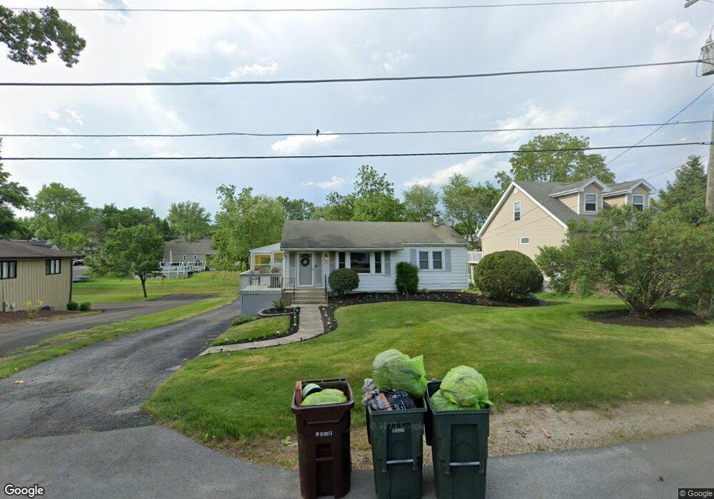
127 Forest St New Lenox, IL 60451
Estimated Value: $287,582 - $344,000
3
Beds
--
Bath
--
Sq Ft
10,019
Sq Ft Lot Lot
About This Home
This home is located at 127 Forest St, New Lenox, IL 60451 and is currently estimated at $320,896. 127 Forest St is a home located in Will County with nearby schools including Oster-Oakview School, Haines Elementary School, and Lincoln Way West.
Ownership History
Date
Name
Owned For
Owner Type
Purchase Details
Closed on
Sep 19, 2023
Sold by
Serno Michael
Bought by
Serno Michael and Serno Kristine
Current Estimated Value
Purchase Details
Closed on
May 28, 2004
Sold by
Anderson Laura A and Biggs Laura Anderson
Bought by
Serno Michael
Purchase Details
Closed on
Sep 15, 2000
Sold by
Contreras Anthony J and Contreras Rochelle M
Bought by
Anderson Laura A
Home Financials for this Owner
Home Financials are based on the most recent Mortgage that was taken out on this home.
Original Mortgage
$108,800
Interest Rate
8.14%
Create a Home Valuation Report for This Property
The Home Valuation Report is an in-depth analysis detailing your home's value as well as a comparison with similar homes in the area
Home Values in the Area
Average Home Value in this Area
Purchase History
We collect this data history from publicly available records. To have your information removed, we recommend requesting removal directly through your county’s website.
| Date | Buyer | Sale Price | Title Company |
|---|---|---|---|
| Serno Michael | -- | None Listed On Document | |
| Serno Michael | $183,000 | Ticor Title | |
| Anderson Laura A | $136,000 | -- |
Source: Public Records
Mortgage History
We collect this data history from publicly available records. To have your information removed, we recommend requesting removal directly through your county’s website.
| Date | Status | Borrower | Loan Amount |
|---|---|---|---|
| Previous Owner | Anderson Laura A | $108,800 |
Source: Public Records
Tax History
| Year | Tax Paid | Tax Assessment Tax Assessment Total Assessment is a certain percentage of the fair market value that is determined by local assessors to be the total taxable value of land and additions on the property. | Land | Improvement |
|---|---|---|---|---|
| 2024 | $6,059 | $79,420 | $27,153 | $52,267 |
| 2023 | $5,796 | $72,397 | $24,752 | $47,645 |
| 2022 | $5,252 | $66,694 | $22,802 | $43,892 |
| 2021 | $4,971 | $62,724 | $21,445 | $41,279 |
| 2020 | $4,821 | $60,486 | $20,680 | $39,806 |
| 2019 | $4,607 | $58,611 | $20,039 | $38,572 |
| 2018 | $4,492 | $56,591 | $19,348 | $37,243 |
| 2017 | $4,262 | $54,964 | $18,792 | $36,172 |
| 2016 | $4,131 | $53,493 | $18,289 | $35,204 |
| 2015 | $3,972 | $51,809 | $17,713 | $34,096 |
| 2014 | $3,972 | $51,169 | $17,494 | $33,675 |
| 2013 | $3,972 | $51,859 | $17,730 | $34,129 |
Source: Public Records
Map
Nearby Homes
- 209 Linden Oaks Ln
- 380 N Cedar Rd
- 220 W Francis Rd
- 317 Hillside Rd
- 417 Manor Ct Unit B
- Lot 207 N Cedar Rd
- 1271 Edmonds Ave
- 404 Livingston Dr
- 324 Gina Dr Unit 2
- 347 W Francis Rd Unit 1
- 144 E 2nd Ave
- 328 E Lincoln Hwy
- 628 Prairie Crossing Dr
- Vacant W Maple St
- 289 Osage Ln
- 1787 Lakes Park Dr
- 3126 Timberlake Ave
- 1777 Lakes Park Dr
- 3171 Waterwood Ln
- Lot 1 Jacks Trail
Your Personal Tour Guide
Ask me questions while you tour the home.