127 Lissadell Ln Weldon Spring, MO 63304
Estimated Value: $562,000 - $598,131
About This Home
This home is located at 127 Lissadell Ln, Weldon Spring, MO 63304 and is currently estimated at $575,783, approximately $306 per square foot. 127 Lissadell Ln is a home located in St. Charles County with nearby schools including Independence Elementary School, Bryan Middle School, and Francis Howell Union High School.
Ownership History
We collect this data history from publicly available records. To have your information removed, we recommend requesting removal directly through your county’s website.
Purchase Details
Purchase Details
Home Financials for this Owner
Home Financials are based on the most recent Mortgage that was taken out on this home.Home Values in the Area
Average Home Value in this Area
Purchase History
We collect this data history from publicly available records. To have your information removed, we recommend requesting removal directly through your county’s website.
| Date | Buyer | Sale Price | Title Company |
|---|---|---|---|
| -- | Ust | ||
| -- | None Listed On Document | ||
| $285,000 | None Available |
Mortgage History
We collect this data history from publicly available records. To have your information removed, we recommend requesting removal directly through your county’s website.
| Date | Status | Borrower | Loan Amount |
|---|---|---|---|
| Previous Owner | $275,488 |
Tax History
We collect this data history from publicly available records. To have your information removed, we recommend requesting removal directly through your county’s website.
| Year | Tax Paid | Tax Assessment Tax Assessment Total Assessment is a certain percentage of the fair market value that is determined by local assessors to be the total taxable value of land and additions on the property. | Land | Improvement |
|---|---|---|---|---|
| 2025 | $5,371 | $90,823 | -- | -- |
| 2023 | $5,368 | $90,117 | $0 | $0 |
| 2022 | $4,070 | $63,377 | $0 | $0 |
| 2021 | $4,074 | $63,377 | $0 | $0 |
| 2020 | $3,759 | $56,587 | $0 | $0 |
| 2019 | $3,742 | $56,587 | $0 | $0 |
| 2018 | $2,964 | $42,771 | $0 | $0 |
| 2017 | $2,940 | $42,771 | $0 | $0 |
| 2016 | $3,441 | $48,284 | $0 | $0 |
| 2015 | $3,406 | $48,284 | $0 | $0 |
| 2014 | $4,064 | $55,896 | $0 | $0 |
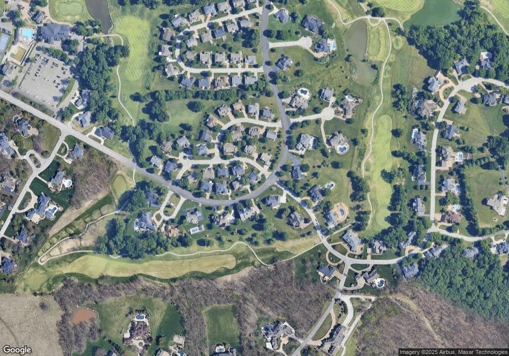
Map
- 4 Upper Whitmoor Dr
- 5 Shelbourne Wood Ct
- 684 Clifden Dr
- 653 Killary Down
- 504 Malinmor Dr
- 503 Malinmor Dr
- 4385 Austin Pass Dr
- 195 Muirfield Forest Ct
- 554 Malinmor Dr
- 4046 Austin Dr
- 553 Malinmor Dr
- 74 W Meath Ring
- 255 Towers Creek Place
- 25 Windcastle Dr
- 831 Glencorse Dr
- 42 Clarksburg Ct
- 613 Jacobs Station Rd
- 5 Milky Way Dr
- 4141 Millers Ridge
- 1018 Harvest Home Cir
- 127 Lissadell Ln Unit 30
- 1050 Whitmoor Dr
- 123 Lissadell Ln
- 128 Lissadell Ln
- 124 Lissadell Ln
- 119 Lissadell Ln
- 1060 Whitmoor Dr
- 1060 Whitmoor Dr Unit 37
- 1049 Whitmoor Dr
- 120 Lissadell Ln
- 115 Lissadell Ln
- 107 Rathfarnum Dr
- 103 Rathfarnum Dr
- 1035 Whitmoor Dr
- 113 Rathfarnum Dr
- 1066 Whitmoor Dr
- 1059 Whitmoor Dr
- 768 Hillenkamp Dr
- 114 Lissadell Ln
- 101 Lissadell Ln
Ask me questions while you tour the home.