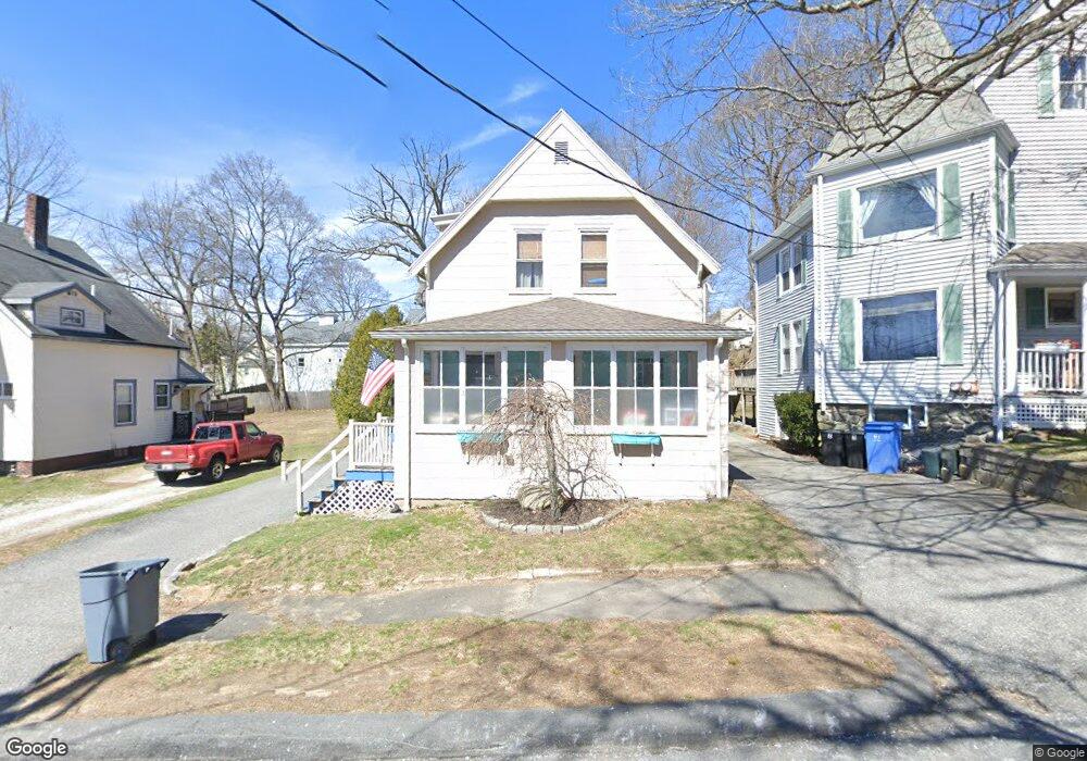
127 Middlesex Ave Reading, MA 01867
Estimated Value: $744,000 - $881,000
3
Beds
2
Baths
1,259
Sq Ft
$660/Sq Ft
Est. Value
About This Home
This home is located at 127 Middlesex Ave, Reading, MA 01867 and is currently estimated at $830,375, approximately $659 per square foot. 127 Middlesex Ave is a home located in Middlesex County with nearby schools including Alice M. Barrows Elementary School, Walter S. Parker Middle School, and Reading Memorial High School.
Ownership History
Date
Name
Owned For
Owner Type
Purchase Details
Closed on
Jun 4, 2018
Sold by
Mckenna Kevin and Mckenna Stacy L
Bought by
Mckenna Kevin
Current Estimated Value
Purchase Details
Closed on
Aug 1, 2000
Sold by
127 Middlesex Ave Rt and Aiello
Bought by
Mckenna Kevin and Mckenna Stacy L
Home Financials for this Owner
Home Financials are based on the most recent Mortgage that was taken out on this home.
Original Mortgage
$207,900
Interest Rate
8.18%
Mortgage Type
Purchase Money Mortgage
Purchase Details
Closed on
Jun 23, 1997
Sold by
Filipenco Larisa and Childs James J
Bought by
127 Middlesex Ave Rt and Aiello
Purchase Details
Closed on
May 20, 1992
Sold by
Reading Coop Bk
Bought by
Filipenco Larisa and Childs James J
Purchase Details
Closed on
Apr 30, 1987
Sold by
Goldthwait Joyce I
Bought by
Selfridge Gail S
Create a Home Valuation Report for This Property
The Home Valuation Report is an in-depth analysis detailing your home's value as well as a comparison with similar homes in the area
Home Values in the Area
Average Home Value in this Area
Purchase History
| Date | Buyer | Sale Price | Title Company |
|---|---|---|---|
| Mckenna Kevin | -- | -- | |
| Mckenna Kevin | $259,900 | -- | |
| 127 Middlesex Ave Rt | $176,000 | -- | |
| Filipenco Larisa | $133,000 | -- | |
| Selfridge Gail S | $159,000 | -- |
Source: Public Records
Mortgage History
| Date | Status | Borrower | Loan Amount |
|---|---|---|---|
| Previous Owner | Selfridge Gail S | $375,980 | |
| Previous Owner | Selfridge Gail S | $39,700 | |
| Previous Owner | Selfridge Gail S | $207,900 |
Source: Public Records
Tax History
| Year | Tax Paid | Tax Assessment Tax Assessment Total Assessment is a certain percentage of the fair market value that is determined by local assessors to be the total taxable value of land and additions on the property. | Land | Improvement |
|---|---|---|---|---|
| 2025 | $8,173 | $717,600 | $432,500 | $285,100 |
| 2024 | $8,267 | $705,400 | $425,100 | $280,300 |
| 2023 | $8,369 | $664,700 | $400,600 | $264,100 |
| 2022 | $8,107 | $608,200 | $366,500 | $241,700 |
| 2021 | $7,517 | $544,300 | $316,100 | $228,200 |
| 2020 | $7,349 | $526,800 | $305,900 | $220,900 |
| 2019 | $7,028 | $493,900 | $286,700 | $207,200 |
| 2018 | $5,381 | $470,300 | $273,000 | $197,300 |
| 2017 | $6,162 | $439,200 | $254,900 | $184,300 |
| 2016 | $6,129 | $422,700 | $255,800 | $166,900 |
| 2015 | $5,918 | $402,600 | $243,600 | $159,000 |
| 2014 | $5,446 | $369,500 | $226,600 | $142,900 |
Source: Public Records
Map
Nearby Homes
- 5 Washington St Unit D4
- 89 Grand St
- 101 King St Unit 101
- 52 Sanborn St Unit 7
- 45 Longview Rd
- 100 Prescott St
- 37 Fremont St
- 319 West St
- 35 Longfellow Rd
- 64 Longfellow Rd
- 69 Ash St
- 430 West St
- 34 Plymouth Rd
- 51 Winslow Rd
- 863 Main St
- 16 Munroe Ave
- 17 Courtyard Place Unit 17
- 48 Village St Unit 1001
- 103 Oak St
- 20 White Oaks Ln
- 125 Middlesex Ave
- 125 Middlesex Ave Unit 1st Fl,125
- 125 Middlesex Ave Unit 2,125
- 131 Middlesex Ave
- 119 Middlesex Ave
- 20 Mineral St
- 26 Mineral St
- 132 Middlesex Ave
- 16 Mineral St
- 115 Middlesex Ave
- 32 Mineral St
- 120 Middlesex Ave
- 105 Vine St
- 124 Vine St
- 14 Mineral St
- 116 Middlesex Ave
- 99 Vine St
- 10 Mineral St
- 10 Mineral St Unit 1
- 10 Mineral St Unit 2
Your Personal Tour Guide
Ask me questions while you tour the home.