127 Murphys Dr Groton, CT 06340
Estimated Value: $358,349 - $432,000
3
Beds
2
Baths
1,786
Sq Ft
$225/Sq Ft
Est. Value
About This Home
This home is located at 127 Murphys Dr, Groton, CT 06340 and is currently estimated at $401,087, approximately $224 per square foot. 127 Murphys Dr is a home located in New London County with nearby schools including Charles Barnum Discovery Magnet School, Groton Middle School, and Robert E. Fitch High School.
Ownership History
Date
Name
Owned For
Owner Type
Purchase Details
Closed on
Nov 5, 2007
Sold by
Groton Woods Walk Inc
Bought by
Patoju Ravi Prasad
Current Estimated Value
Home Financials for this Owner
Home Financials are based on the most recent Mortgage that was taken out on this home.
Original Mortgage
$265,000
Outstanding Balance
$168,100
Interest Rate
6.43%
Estimated Equity
$232,987
Create a Home Valuation Report for This Property
The Home Valuation Report is an in-depth analysis detailing your home's value as well as a comparison with similar homes in the area
Home Values in the Area
Average Home Value in this Area
Purchase History
We collect this data history from publicly available records. To have your information removed, we recommend requesting removal directly through your county’s website.
| Date | Buyer | Sale Price | Title Company |
|---|---|---|---|
| Patoju Ravi Prasad | $279,000 | -- |
Source: Public Records
Mortgage History
We collect this data history from publicly available records. To have your information removed, we recommend requesting removal directly through your county’s website.
| Date | Status | Borrower | Loan Amount |
|---|---|---|---|
| Open | Patoju Ravi Prasad | $265,000 |
Source: Public Records
Tax History
| Year | Tax Paid | Tax Assessment Tax Assessment Total Assessment is a certain percentage of the fair market value that is determined by local assessors to be the total taxable value of land and additions on the property. | Land | Improvement |
|---|---|---|---|---|
| 2025 | $4,614 | $165,900 | $49,770 | $116,130 |
| 2024 | $4,327 | $165,900 | $49,770 | $116,130 |
| 2023 | $4,169 | $165,900 | $0 | $165,900 |
| 2022 | $4,089 | $165,900 | $0 | $165,900 |
| 2021 | $4,278 | $145,110 | $0 | $145,110 |
| 2020 | $4,233 | $145,110 | $0 | $145,110 |
| 2019 | $4,056 | $145,110 | $0 | $145,110 |
| 2018 | $4,015 | $145,110 | $0 | $145,110 |
| 2017 | $3,937 | $145,110 | $0 | $145,110 |
| 2016 | $4,011 | $158,970 | $0 | $158,970 |
| 2015 | $3,887 | $158,970 | $0 | $158,970 |
| 2014 | $3,796 | $158,970 | $0 | $158,970 |
Source: Public Records
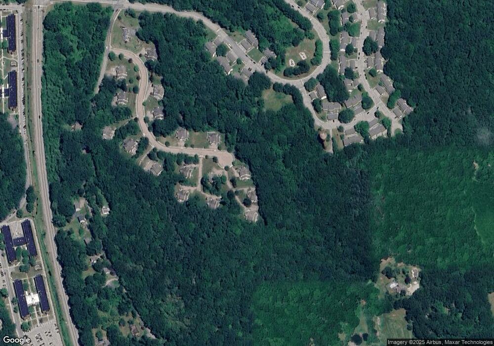
Map
Nearby Homes
- 0 Briar Hill Rd Unit 24148389
- 1323 Baldwin Hill Rd
- 322 Virgo Dr
- 274 Virgo Dr
- 231 Gungywamp Rd
- 0 Connecticut 12
- 23 Skyview Terrace
- 1007 Long Cove Rd
- 435 Military Hwy Unit 449
- 1513 Connecticut 12
- 8 Heartwell Dr
- 972 Long Cove Rd
- 20 Inchcliffe Dr
- 11 Mamacoke Rd
- 310 Lestertown Rd
- 1098 Long Cove Rd
- 448 Mohegan Avenue Pkwy
- 76 Starr Hill Rd
- 1561 Route 12
- 72 Inchcliffe Dr
- 119 Murphys Dr
- 119 Murphys Dr Unit 7B
- 125 Murphys Dr
- 121 Murphys Dr
- 111 Murphys Dr
- 111 Murphys Dr Unit 111
- 109 Murphys Dr
- 109 Murphys Dr Unit 109
- 115 Murphys Dr
- 104 Murphys Dr
- 104 Murphys Dr Unit 104
- 102 Murphys Dr
- 102 Murphys Dr Unit 5A
- 103 Murphys Dr
- 105 Murphys Dr
- 103 Murphys Dr Unit 103
- 105 Murphys Dr Unit 105
- 117 Murphys Dr
- 117 Murphys Dr Unit 117
- 95 Murphys Dr
Your Personal Tour Guide
Ask me questions while you tour the home.