127 Pole Rd Weatherly, PA 18255
Estimated Value: $190,000 - $383,000
2
Beds
1
Bath
1,801
Sq Ft
$147/Sq Ft
Est. Value
About This Home
This home is located at 127 Pole Rd, Weatherly, PA 18255 and is currently estimated at $265,410, approximately $147 per square foot. 127 Pole Rd is a home located in Carbon County with nearby schools including Weatherly Area Elementary School and Weatherly Area High School.
Ownership History
Date
Name
Owned For
Owner Type
Purchase Details
Closed on
Apr 17, 2012
Sold by
Mclaughlin William F
Bought by
Mclaughlin William F and Mclaughlin Dawn R
Current Estimated Value
Purchase Details
Closed on
Mar 25, 2006
Sold by
Pugh Robert and Pugh Deborah
Bought by
Pugh Brandon and Pugh Karen
Create a Home Valuation Report for This Property
The Home Valuation Report is an in-depth analysis detailing your home's value as well as a comparison with similar homes in the area
Home Values in the Area
Average Home Value in this Area
Purchase History
We collect this data history from publicly available records. To have your information removed, we recommend requesting removal directly through your county’s website.
| Date | Buyer | Sale Price | Title Company |
|---|---|---|---|
| Mclaughlin William F | -- | None Available | |
| Pugh Brandon | -- | None Available |
Source: Public Records
Tax History
| Year | Tax Paid | Tax Assessment Tax Assessment Total Assessment is a certain percentage of the fair market value that is determined by local assessors to be the total taxable value of land and additions on the property. | Land | Improvement |
|---|---|---|---|---|
| 2026 | $3,444 | $49,850 | $9,950 | $39,900 |
| 2025 | $3,444 | $49,850 | $9,950 | $39,900 |
| 2024 | $3,237 | $49,850 | $9,950 | $39,900 |
| 2023 | $3,125 | $49,850 | $9,950 | $39,900 |
| 2022 | $3,125 | $49,850 | $9,950 | $39,900 |
| 2021 | $2,246 | $36,400 | $9,950 | $26,450 |
| 2020 | $2,246 | $36,400 | $9,950 | $26,450 |
| 2019 | $2,120 | $36,400 | $9,950 | $26,450 |
| 2018 | $2,068 | $36,400 | $9,950 | $26,450 |
| 2017 | $2,013 | $36,400 | $9,950 | $26,450 |
| 2016 | -- | $36,400 | $9,950 | $26,450 |
| 2015 | -- | $36,400 | $9,950 | $26,450 |
| 2014 | -- | $36,400 | $9,950 | $26,450 |
Source: Public Records
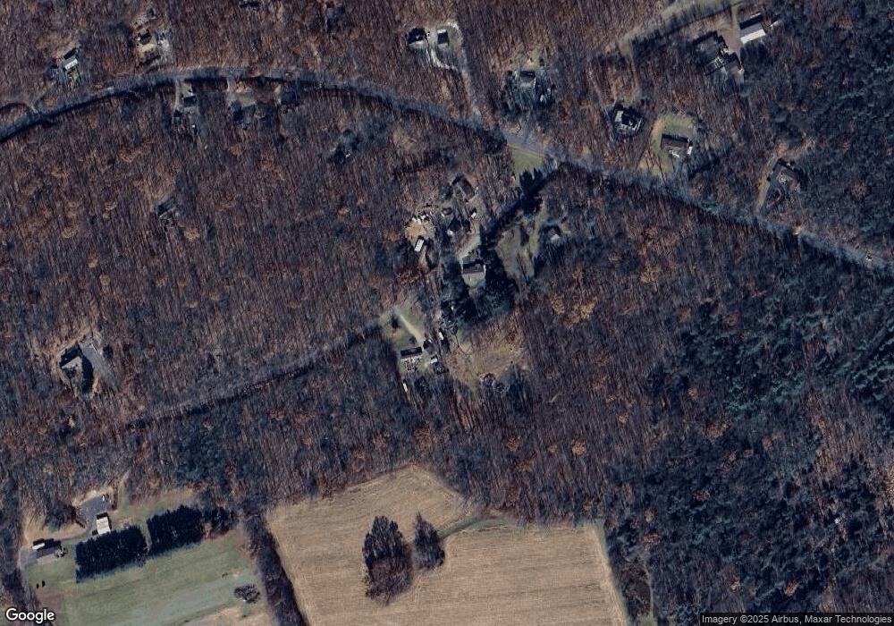
Map
Nearby Homes
- 0 Lot C1 13 Packer Dr
- 374 Packer Dr
- 0 Packer Dr
- 97 Broad St
- 74 Trettel St
- 46-48 Swamp St
- 19 3rd St
- 8 Tamaqua St
- 54- 54 1/2 Jefferson St
- 520 W Main St
- 220 Entwistle St
- 215 Doney Run
- 223 Hudsondale St
- 202 1st St
- 0 Buck Mountain Rd Unit 747254
- 2047 E Broad St
- 730 E Main St
- 30 E Main St
- 1020 E Main St
- 1 Circle Dr
Your Personal Tour Guide
Ask me questions while you tour the home.