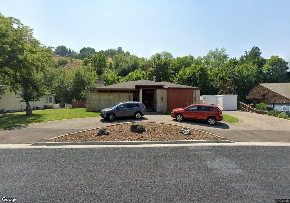
1270 Sumac Dr Logan, UT 84321
Wilson NeighborhoodEstimated Value: $507,000 - $514,000
Studio
--
Bath
1,619
Sq Ft
$315/Sq Ft
Est. Value
About This Home
This home is located at 1270 Sumac Dr, Logan, UT 84321 and is currently estimated at $510,767, approximately $315 per square foot. 1270 Sumac Dr is a home with nearby schools including Wilson School, Mount Logan Middle School, and Logan High School.
Ownership History
Date
Name
Owned For
Owner Type
Purchase Details
Closed on
Nov 22, 2024
Sold by
La Nonnie Llc
Bought by
Conway Carter and Conway Emma
Current Estimated Value
Home Financials for this Owner
Home Financials are based on the most recent Mortgage that was taken out on this home.
Original Mortgage
$510,750
Outstanding Balance
$505,350
Interest Rate
6.32%
Mortgage Type
VA
Estimated Equity
$5,417
Purchase Details
Closed on
May 26, 2009
Sold by
Fullmer Lance G and Estate Of Patricia J Fullmer
Bought by
La Nonnie Llc
Create a Home Valuation Report for This Property
The Home Valuation Report is an in-depth analysis detailing your home's value as well as a comparison with similar homes in the area
Home Values in the Area
Average Home Value in this Area
Purchase History
| Date | Buyer | Sale Price | Title Company |
|---|---|---|---|
| Conway Carter | -- | Northern Title | |
| Conway Carter | -- | Northern Title | |
| La Nonnie Llc | -- | None Available |
Source: Public Records
Mortgage History
| Date | Status | Borrower | Loan Amount |
|---|---|---|---|
| Open | Conway Carter | $510,750 | |
| Closed | Conway Carter | $510,750 |
Source: Public Records
Tax History
| Year | Tax Paid | Tax Assessment Tax Assessment Total Assessment is a certain percentage of the fair market value that is determined by local assessors to be the total taxable value of land and additions on the property. | Land | Improvement |
|---|---|---|---|---|
| 2025 | $2,126 | $274,985 | $0 | $0 |
| 2024 | $3,905 | $489,120 | $0 | $0 |
| 2023 | $4,073 | $486,320 | $0 | $0 |
| 2022 | $3,779 | $421,320 | $0 | $0 |
| 2021 | $3,603 | $341,400 | $75,000 | $266,400 |
| 2020 | $3,483 | $297,000 | $75,000 | $222,000 |
| 2019 | $1,815 | $269,275 | $75,000 | $194,275 |
| 2018 | $1,770 | $239,640 | $75,000 | $164,640 |
| 2017 | $1,552 | $111,100 | $0 | $0 |
| 2016 | $1,609 | $111,100 | $0 | $0 |
| 2015 | $1,611 | $111,100 | $0 | $0 |
| 2014 | $1,240 | $94,655 | $0 | $0 |
| 2013 | -- | $92,590 | $0 | $0 |
Source: Public Records
Map
Nearby Homes
- 1374 E 260 N
- 327 N 1430 E
- 1246 Canyon Rd
- 1045 Fox Farm Rd
- 27 Canterbury Ln
- 1147 Eastridge Dr
- 32 Shadow Mountain Dr
- 1562 Braxton Place
- 74 Canterbury Cir
- 1131 E Lamplighter Dr
- 83 Canterbury Cir
- 2758 N Canyon Cove Dr
- 2738 N Canyon Cove Dr
- 1164 E Mountain Rd
- 28 River Pointe Dr
- 866 Hillcrest Ave
- 871 Hillcrest Ave
- 1054 Lamplighter Dr
- 909 Evergreen Dr
- 1647 E Quail Canyon Dr
Your Personal Tour Guide
Ask me questions while you tour the home.