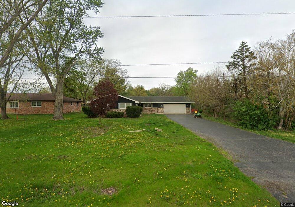
1271 Edmonds Ave New Lenox, IL 60451
Estimated Value: $240,000 - $427,000
4
Beds
2
Baths
2,168
Sq Ft
$166/Sq Ft
Est. Value
About This Home
This home is located at 1271 Edmonds Ave, New Lenox, IL 60451 and is currently estimated at $360,701, approximately $166 per square foot. 1271 Edmonds Ave is a home located in Will County with nearby schools including Oster-Oakview School, Haines Elementary School, and Lincoln Way West.
Ownership History
Date
Name
Owned For
Owner Type
Purchase Details
Closed on
Mar 17, 2006
Sold by
Kabat James B and Kabat Karen A
Bought by
Jeray John C
Current Estimated Value
Home Financials for this Owner
Home Financials are based on the most recent Mortgage that was taken out on this home.
Original Mortgage
$85,000
Outstanding Balance
$46,838
Interest Rate
6.33%
Mortgage Type
Fannie Mae Freddie Mac
Estimated Equity
$313,863
Create a Home Valuation Report for This Property
The Home Valuation Report is an in-depth analysis detailing your home's value as well as a comparison with similar homes in the area
Home Values in the Area
Average Home Value in this Area
Purchase History
| Date | Buyer | Sale Price | Title Company |
|---|---|---|---|
| Jeray John C | $287,000 | None Available |
Source: Public Records
Mortgage History
| Date | Status | Borrower | Loan Amount |
|---|---|---|---|
| Open | Jeray John C | $85,000 |
Source: Public Records
Tax History
| Year | Tax Paid | Tax Assessment Tax Assessment Total Assessment is a certain percentage of the fair market value that is determined by local assessors to be the total taxable value of land and additions on the property. | Land | Improvement |
|---|---|---|---|---|
| 2024 | $8,160 | $120,290 | $44,124 | $76,166 |
| 2023 | $8,160 | $109,653 | $40,222 | $69,431 |
| 2022 | $7,508 | $101,016 | $37,054 | $63,962 |
| 2021 | $7,099 | $95,002 | $34,848 | $60,154 |
| 2020 | $6,877 | $91,613 | $33,605 | $58,008 |
| 2019 | $6,562 | $88,772 | $32,563 | $56,209 |
| 2018 | $6,390 | $85,711 | $31,440 | $54,271 |
| 2017 | $6,050 | $83,247 | $30,536 | $52,711 |
| 2016 | $5,859 | $81,019 | $29,719 | $51,300 |
| 2015 | $5,617 | $78,469 | $28,784 | $49,685 |
| 2014 | $5,617 | $77,501 | $28,429 | $49,072 |
| 2013 | $5,617 | $78,545 | $28,812 | $49,733 |
Source: Public Records
Map
Nearby Homes
- Lot 207 N Cedar Rd
- 830 Wagon Dr
- 1605 S Regan Rd
- 1502 London Rd
- 1110 Lakeside Dr
- 209 Linden Oaks Ln
- 639 N Marley Rd
- 800 N Marley Rd
- 380 N Cedar Rd
- 347 W Francis Rd Unit 1
- 328 E Lincoln Hwy
- 0 N Cedar Rd
- 1193 Georgias Way
- 326 Old Hickory Rd
- 1212 Georgias Way
- 12001 W Route 6
- 19840 S Schoolhouse Rd
- 1245 Georgias Way
- 13621 W Maple Rd
- 1244 Georgias Way
- 1267 Edmonds Ave
- 1267 Edmonds Ave
- 1275 Edmond Ave
- 1279 Edmond Ave
- 1263 Edmonds Ave
- 611 Gibbons Dr
- 610 Walker Way
- 610 Gibbons Dr
- 621 Gibbons Dr
- 1289 Edmonds Ave
- 1289 Edmond Ave
- 400 E Francis Rd
- 1234 Edmonds Ave
- 620 Walker Way
- 620 Gibbons Dr
- 340 E Francis Rd
- 1238 Edmonds Ave
- 611 Walker Way
- 631 Gibbons Dr
- 630 Walker Way
Your Personal Tour Guide
Ask me questions while you tour the home.