12745 County Road J Wauseon, OH 43567
Estimated Value: $346,000 - $519,855
About This Home
This home is located at 12745 County Road J, Wauseon, OH 43567 and is currently estimated at $436,964, approximately $187 per square foot. 12745 County Road J is a home located in Fulton County with nearby schools including Delta Elementary School, Pike-Delta-York Middle School, and Pike-Delta-York High School.
Ownership History
We collect this data history from publicly available records. To have your information removed, we recommend requesting removal directly through your county’s website.
Purchase Details
Home Financials for this Owner
Home Financials are based on the most recent Mortgage that was taken out on this home.Purchase History
We collect this data history from publicly available records. To have your information removed, we recommend requesting removal directly through your county’s website.
| Date | Buyer | Sale Price | Title Company |
|---|---|---|---|
| $26,200 | Attorney |
Mortgage History
We collect this data history from publicly available records. To have your information removed, we recommend requesting removal directly through your county’s website.
| Date | Status | Borrower | Loan Amount |
|---|---|---|---|
| Closed | $49,200 |
Tax History
We collect this data history from publicly available records. To have your information removed, we recommend requesting removal directly through your county’s website.
| Year | Tax Paid | Tax Assessment Tax Assessment Total Assessment is a certain percentage of the fair market value that is determined by local assessors to be the total taxable value of land and additions on the property. | Land | Improvement |
|---|---|---|---|---|
| 2025 | $6,289 | $151,450 | $22,090 | $129,360 |
| 2024 | $6,289 | $151,450 | $22,090 | $129,360 |
| 2023 | $5,859 | $151,450 | $22,090 | $129,360 |
| 2022 | $5,882 | $117,920 | $18,410 | $99,510 |
| 2021 | $6,024 | $117,920 | $18,410 | $99,510 |
| 2020 | $6,067 | $117,920 | $18,410 | $99,510 |
| 2019 | $5,499 | $112,250 | $15,580 | $96,670 |
| 2018 | $4,954 | $112,250 | $15,580 | $96,670 |
| 2017 | $4,697 | $102,660 | $15,580 | $87,080 |
| 2016 | $4,454 | $87,260 | $15,580 | $71,680 |
| 2015 | $4,206 | $87,260 | $15,580 | $71,680 |
| 2014 | $4,185 | $87,260 | $15,580 | $71,680 |
| 2013 | $2,676 | $55,060 | $12,740 | $42,320 |
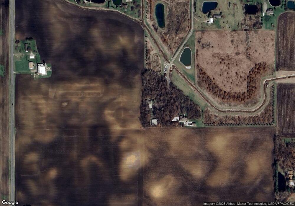
Map
- 14900 County Road H Unit 133
- 460 Airport Hwy
- 0 N Glenwood Ave
- 1067 Seneca Dr
- 1070 Seneca Dr
- 1338 N Park Ln
- 16066 County Road J
- 555 Wood St
- 248 W Willow St
- 15111 County Road M
- 150 N Shoop Ave
- 203 E Oak St
- 9111 County Road H
- 7491 State Route 109
- 113 Commercial St
- 312 Cherry St
- 231 Mckinley St
- 134 W Lincoln St
- 414 Edgewood Dr
- 728 Fairway Dr Unit 5
- 12675 County Road J
- 12785 County Road J
- 12645 County Road J
- 12541 County Road J
- 12642 County Road J
- 8629 County Road 12 1
- 8566 County Road 13
- 12463 County Road J
- 12495 County Road J
- 8520 County Road 13
- 9089 County Road 13
- 8545 County Road 13
- 8525 County Road 13
- 8985 County Road 12 1
- 8851 County Road 12
- 8851 County Road 12 1
- 8711 County Road 12 1
- 13211 County Road J
- 13281 County Road J
- 8529 County Road 12 1
Ask me questions while you tour the home.