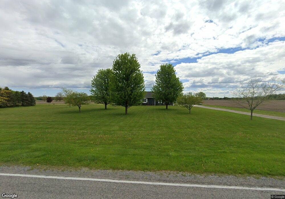
12753 Stuart Rd Saint Charles, MI 48655
Estimated Value: $268,000 - $363,000
3
Beds
3
Baths
1,792
Sq Ft
$173/Sq Ft
Est. Value
About This Home
This home is located at 12753 Stuart Rd, Saint Charles, MI 48655 and is currently estimated at $309,961, approximately $172 per square foot. 12753 Stuart Rd is a home located in Saginaw County with nearby schools including Big Rock Elementary School, Chesaning Middle School, and Chesaning Union High School.
Ownership History
Date
Name
Owned For
Owner Type
Purchase Details
Closed on
Oct 11, 2013
Sold by
Hoeppner Lloyd
Bought by
Hoeppner Lloyd
Current Estimated Value
Purchase Details
Closed on
Sep 23, 2005
Purchase Details
Closed on
Mar 12, 2004
Sold by
Fdq Inc
Bought by
Newman Joshua L and Newman Elizabeth C
Home Financials for this Owner
Home Financials are based on the most recent Mortgage that was taken out on this home.
Original Mortgage
$114,000
Interest Rate
5.5%
Mortgage Type
Purchase Money Mortgage
Create a Home Valuation Report for This Property
The Home Valuation Report is an in-depth analysis detailing your home's value as well as a comparison with similar homes in the area
Purchase History
We collect this data history from publicly available records. To have your information removed, we recommend requesting removal directly through your county’s website.
| Date | Buyer | Sale Price | Title Company |
|---|---|---|---|
| Hoeppner Lloyd | -- | -- | |
| -- | $165,000 | -- | |
| Newman Joshua L | $113,000 | -- |
Source: Public Records
Mortgage History
We collect this data history from publicly available records. To have your information removed, we recommend requesting removal directly through your county’s website.
| Date | Status | Borrower | Loan Amount |
|---|---|---|---|
| Previous Owner | Newman Joshua L | $114,000 |
Source: Public Records
Tax History
| Year | Tax Paid | Tax Assessment Tax Assessment Total Assessment is a certain percentage of the fair market value that is determined by local assessors to be the total taxable value of land and additions on the property. | Land | Improvement |
|---|---|---|---|---|
| 2025 | $992 | $122,000 | $0 | $0 |
| 2024 | $962 | $119,300 | $0 | $0 |
| 2023 | $916 | $103,800 | $0 | $0 |
| 2022 | $2,920 | $87,800 | $0 | $0 |
| 2021 | $2,643 | $81,700 | $0 | $0 |
| 2020 | $2,583 | $79,000 | $0 | $0 |
| 2019 | $2,488 | $81,700 | $0 | $0 |
| 2018 | $791 | $73,600 | $0 | $0 |
| 2017 | $2,218 | $74,100 | $0 | $0 |
| 2016 | $2,100 | $71,200 | $0 | $0 |
| 2014 | -- | $69,100 | $0 | $62,200 |
| 2013 | -- | $67,600 | $0 | $0 |
Source: Public Records
Map
Nearby Homes
- 7147 Gary Rd
- 0 Arrowhead 1-A - Aka 15215 McKeighan Road Dr Unit 50207139
- 0 Arrowhead 1-A Aka 15215 McKeighan Road Dr Unit 50207137
- 307 N Line St
- 216 S Chapman St
- 0 N 4th St
- 0 N 1st St
- 119 Andres St
- 721 E Broad St
- 123 N Clark St
- V/L #4 Brookshire Dr
- V/L #5 Brookshire Dr
- 710 E Broad St
- 103 S Main St
- V/L W Liberty St
- 4968 W Burt Rd
- 710 Bentley St
- 600 Bentley St
- 702 Flint St
- 812 Sanderson St
- 12707 Stuart Rd
- 12937 Stuart Rd
- 9058 W Burt Rd
- 12511 Stuart Rd
- 12997 Stuart Rd
- 15800 Burt Rd
- 13005 Stuart Rd
- VL Stuart Rd
- 0 Stuart Rd
- 12405 Stuart Rd
- 12905 Mahoney Rd
- 12376 Stuart Rd
- 13188 Stuart Rd
- 12301 Stuart Rd
- 13245 Stuart Rd
- 8513 Burt Rd
- 12438 Mahoney Rd
- 8422 W Burt Rd
- 8431 W Burt Rd
- 13466 Stuart Rd
Your Personal Tour Guide
Ask me questions while you tour the home.