12759 Sam Black Rd Midland, NC 28107
Estimated Value: $370,000 - $448,000
About This Home
This home is located at 12759 Sam Black Rd, Midland, NC 28107 and is currently estimated at $394,238, approximately $221 per square foot. 12759 Sam Black Rd is a home located in Cabarrus County with nearby schools including Bethel Elementary School, C.C. Griffin Middle School, and Central Cabarrus High School.
Ownership History
We collect this data history from publicly available records. To have your information removed, we recommend requesting removal directly through your county’s website.
Purchase Details
Home Financials for this Owner
Home Financials are based on the most recent Mortgage that was taken out on this home.Purchase Details
Purchase Details
Purchase Details
Purchase Details
Purchase Details
Home Values in the Area
Average Home Value in this Area
Purchase History
We collect this data history from publicly available records. To have your information removed, we recommend requesting removal directly through your county’s website.
| Date | Buyer | Sale Price | Title Company |
|---|---|---|---|
| $175,000 | None Available | ||
| -- | None Available | ||
| -- | None Available | ||
| -- | None Available | ||
| $202,000 | -- | ||
| $75,000 | -- | ||
| $62,000 | -- |
Mortgage History
We collect this data history from publicly available records. To have your information removed, we recommend requesting removal directly through your county’s website.
| Date | Status | Borrower | Loan Amount |
|---|---|---|---|
| Open | $167,475 |
Tax History
We collect this data history from publicly available records. To have your information removed, we recommend requesting removal directly through your county’s website.
| Year | Tax Paid | Tax Assessment Tax Assessment Total Assessment is a certain percentage of the fair market value that is determined by local assessors to be the total taxable value of land and additions on the property. | Land | Improvement |
|---|---|---|---|---|
| 2025 | $2,290 | $338,750 | $60,080 | $278,670 |
| 2024 | $2,290 | $338,750 | $60,080 | $278,670 |
| 2023 | $1,654 | $196,890 | $30,040 | $166,850 |
| 2022 | $1,654 | $196,890 | $30,040 | $166,850 |
| 2021 | $1,654 | $196,890 | $30,040 | $166,850 |
| 2020 | $1,654 | $196,890 | $30,040 | $166,850 |
| 2019 | $1,519 | $180,870 | $33,200 | $147,670 |
| 2018 | $1,447 | $180,870 | $33,200 | $147,670 |
| 2017 | $1,411 | $180,870 | $33,200 | $147,670 |
| 2016 | $1,411 | $131,170 | $41,110 | $90,060 |
| 2015 | $980 | $127,880 | $41,110 | $86,770 |
| 2014 | $980 | $127,880 | $41,110 | $86,770 |
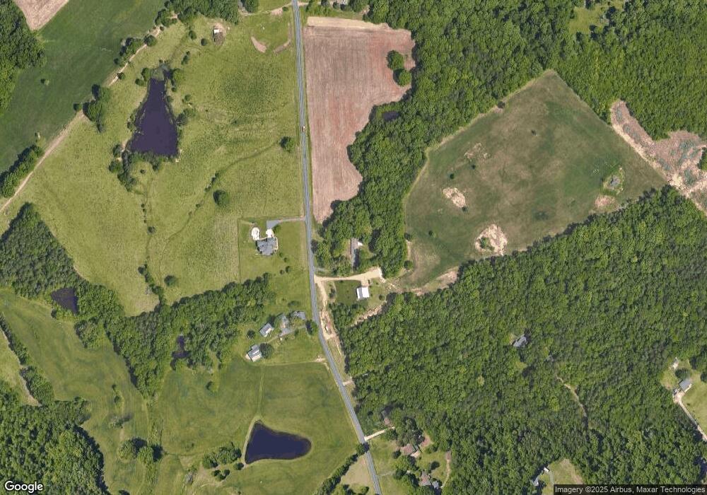
Map
- 13386 Cabarrus Station Rd
- 2622 Cimarron Cir
- 506 Settlement Dr
- 11488 Beagle St
- 13175 Old Camden Rd
- 3237 Midland Rd
- 3324 Muddy Creek Rd
- 3327 Flagler Cir
- 3419 Brickyard Ln
- 3371 Muddy Creek Rd
- 332 Wyndham Forest Cir
- 3244 Maya Ln
- 14050 Cabarrus Station Rd
- 3310 Brickwood Cir
- 12555 Forager Place
- 3213 Saddlebrook Dr
- 3220 Saddlebrook Dr
- 12507 Forager Place
- 11980 Flowes Store Rd
- 3272 Saddlebrook Dr
- 12770 Sam Black Rd
- 12800 Sam Black Rd
- 12901 Sam Black Rd
- 12875 Sam Black Rd
- 12650 Sam Black Rd
- 12889 Sam Black Rd
- 12509 Sam Black Rd
- 12933 Sam Black Rd
- 12933 Sam Black Rd
- 12400 Sam Black Rd
- 13049 Sam Black Rd
- 12883 Sam Black Rd
- 12901 Lanecrest Rd
- 13064 Sam Black Rd
- 13056 Cabarrus Station Rd
- 13089 Sam Black Rd
- 13000 Lanecrest Rd
- 13040 Cabarrus Station Rd
- 13036 Cabarrus Station Rd
- 13001 Lanecrest Rd
Ask me questions while you tour the home.