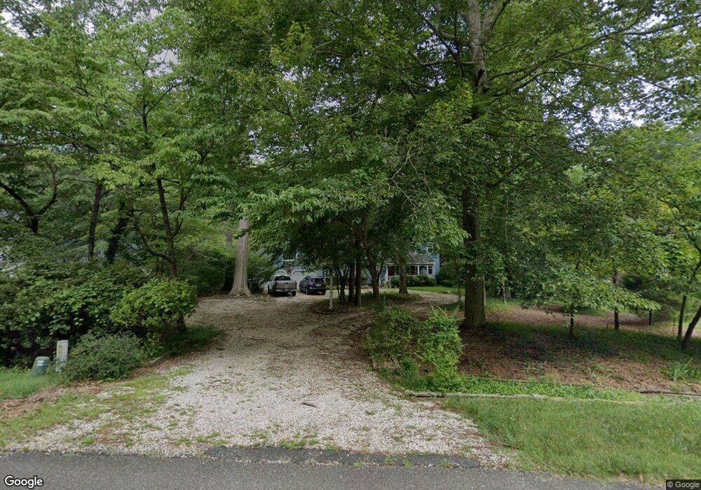
128 Bowstring Dr Williamsburg, VA 23185
York Terrace NeighborhoodEstimated Value: $640,666 - $718,000
5
Beds
4
Baths
3,176
Sq Ft
$213/Sq Ft
Est. Value
About This Home
This home is located at 128 Bowstring Dr, Williamsburg, VA 23185 and is currently estimated at $677,167, approximately $213 per square foot. 128 Bowstring Dr is a home located in York County with nearby schools including Magruder Elementary School, Queens Lake Middle School, and Bruton High School.
Ownership History
Date
Name
Owned For
Owner Type
Purchase Details
Closed on
Oct 25, 2002
Sold by
Selfe Kenneth D
Bought by
Starry Harold M
Current Estimated Value
Home Financials for this Owner
Home Financials are based on the most recent Mortgage that was taken out on this home.
Original Mortgage
$256,400
Outstanding Balance
$104,919
Interest Rate
6.09%
Mortgage Type
New Conventional
Estimated Equity
$572,248
Create a Home Valuation Report for This Property
The Home Valuation Report is an in-depth analysis detailing your home's value as well as a comparison with similar homes in the area
Home Values in the Area
Average Home Value in this Area
Purchase History
| Date | Buyer | Sale Price | Title Company |
|---|---|---|---|
| Starry Harold M | $323,000 | -- |
Source: Public Records
Mortgage History
| Date | Status | Borrower | Loan Amount |
|---|---|---|---|
| Open | Starry Harold M | $256,400 |
Source: Public Records
Tax History
| Year | Tax Paid | Tax Assessment Tax Assessment Total Assessment is a certain percentage of the fair market value that is determined by local assessors to be the total taxable value of land and additions on the property. | Land | Improvement |
|---|---|---|---|---|
| 2025 | $3,818 | $516,000 | $135,800 | $380,200 |
| 2024 | $3,818 | $516,000 | $135,800 | $380,200 |
| 2023 | $3,672 | $476,900 | $135,800 | $341,100 |
| 2022 | $3,720 | $476,900 | $135,800 | $341,100 |
| 2021 | $3,326 | $418,400 | $131,000 | $287,400 |
| 2020 | $3,326 | $418,400 | $131,000 | $287,400 |
| 2019 | $4,770 | $418,400 | $131,000 | $287,400 |
| 2018 | $4,770 | $418,400 | $131,000 | $287,400 |
| 2017 | $3,144 | $418,400 | $131,000 | $287,400 |
| 2016 | $3,144 | $418,400 | $131,000 | $287,400 |
| 2015 | -- | $419,800 | $130,000 | $289,800 |
| 2014 | -- | $419,800 | $130,000 | $289,800 |
Source: Public Records
Map
Nearby Homes
- 132 Little John Rd
- 102 Holloway Dr
- 406 Queensbury Ln
- 111 Sherwood Dr
- 105 Sherwood Dr
- 101 Boulder Way
- 611 Queensbury Ln
- 111 Copse Way
- 813 Queensbury Ln
- 609 Schooner Blvd
- 608 Musket Dr
- 152 Sheppard Dr
- 418 Musket Dr
- 102 Springfield Dr
- 102 Bordeaux Ct
- 119 Golden Bear Cir
- 441 Merrimac Trail
- 285 Merrimac Trail Unit 8
- 105 Rusty Ct
- 376 Merrimac Trail
- 130 Bowstring Dr
- 126 Bowstring Dr
- 124 Bowstring Dr
- 115 Bowstring Dr
- 112 Saxon Rd
- 122 Bowstring Dr
- 134 Bowstring Dr
- 104 Holloway Dr
- 110 Saxon Rd
- 108 Saxon Rd
- 113 Saxon Rd
- 120 Bowstring Dr
- 126 Little John Rd
- 106 Holloway Dr
- 104 Saxon Rd
- 124-A Little John Rd
- 124 Little John Rd
- 106 Saxon Rd
- 111 Holloway Dr
- 107 Holloway Dr
Your Personal Tour Guide
Ask me questions while you tour the home.