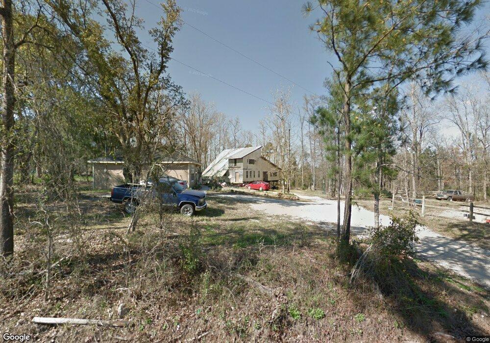
128 Mccarty Rd Lufkin, TX 75904
Estimated Value: $233,000 - $288,000
Studio
--
Bath
1,500
Sq Ft
$169/Sq Ft
Est. Value
About This Home
This home is located at 128 Mccarty Rd, Lufkin, TX 75904 and is currently estimated at $253,066, approximately $168 per square foot. 128 Mccarty Rd is a home located in Angelina County with nearby schools including Central Elementary School, Central Junior High School, and Central High School.
Ownership History
Date
Name
Owned For
Owner Type
Purchase Details
Closed on
May 25, 2017
Sold by
Hieronimus Jewel Hazel
Bought by
Hawke Jon K
Current Estimated Value
Home Financials for this Owner
Home Financials are based on the most recent Mortgage that was taken out on this home.
Original Mortgage
$155,000
Outstanding Balance
$128,831
Interest Rate
4.08%
Mortgage Type
VA
Estimated Equity
$124,235
Create a Home Valuation Report for This Property
The Home Valuation Report is an in-depth analysis detailing your home's value as well as a comparison with similar homes in the area
Purchase History
| Date | Buyer | Sale Price | Title Company |
|---|---|---|---|
| Hawke Jon K | -- | None Available |
Source: Public Records
Mortgage History
| Date | Status | Borrower | Loan Amount |
|---|---|---|---|
| Open | Hawke Jon K | $155,000 |
Source: Public Records
Tax History
| Year | Tax Paid | Tax Assessment Tax Assessment Total Assessment is a certain percentage of the fair market value that is determined by local assessors to be the total taxable value of land and additions on the property. | Land | Improvement |
|---|---|---|---|---|
| 2025 | $3,567 | $236,960 | $29,330 | $207,630 |
| 2024 | $3,347 | $234,650 | $29,330 | $205,320 |
| 2023 | $3,082 | $229,600 | $24,830 | $204,770 |
| 2022 | $3,122 | $213,320 | $24,830 | $188,490 |
| 2021 | $3,049 | $189,770 | $24,830 | $164,940 |
| 2020 | $2,817 | $151,830 | $7,200 | $144,630 |
| 2019 | $2,990 | $153,480 | $7,200 | $146,280 |
| 2018 | $2,963 | $150,430 | $7,200 | $143,230 |
| 2017 | $553 | $143,130 | $6,040 | $137,090 |
| 2016 | $1,032 | $52,380 | $6,040 | $46,340 |
| 2015 | $630 | $52,380 | $6,040 | $46,340 |
| 2014 | $630 | $63,630 | $6,640 | $56,990 |
Source: Public Records
Map
Nearby Homes
- 450 Mccarty Rd
- 136 Johnnaville Ave
- Derek RD None
- 151 Lancewood Cir
- 176 Lancewood Cir
- 321 Gordon Way
- 5740 Hwy 103e
- 345 Gordon Way
- 119 Lancewood Cir
- Lot 1D Welch Hill Top Rd
- 2459 Bethlehem Rd
- PID 29607 Ben Dunn Rd
- 2745 Bethlehem Rd
- 405 Ben Dunn Rd
- Lot 2 Bethlehem Rd
- 260 Falcon Ave
- PID 36982 Ben Dunn Rd
- 183 Falcon Ave
- PID 25110 James Oates Rd
- 1568 S Fm 706
- 128 Mccarty Rd
- 110 Mccarty Rd
- 272 Mccarty Rd
- 6676 Hwy 103w
- 461 Mccarty Rd
- 376 Mccarty Rd
- 6768 Hwy 103w
- 292 Mccarty Rd
- 6768 Hwy 103 W
- 440 Mccarty Rd
- 6450 State Highway 103 W
- 6450 Highway 103 W
- 6979 US Hwy 103w
- 6979 Hwy 103w
- 474 Mccarty Rd
- 6979 Highway 103 W
- 6979 State Highway 103 W
- 473 Mccarty Rd
- 510 Mccarty Rd
- 539 Mccarty Rd
Your Personal Tour Guide
Ask me questions while you tour the home.