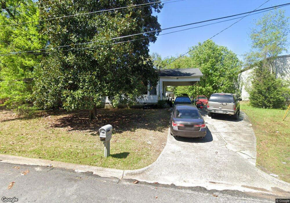
1282 Baker Dr Unit 92 Macon, GA 31206
Estimated Value: $94,000 - $99,526
About This Home
This home is located at 1282 Baker Dr Unit 92, Macon, GA 31206 and is currently estimated at $97,382, approximately $55 per square foot. 1282 Baker Dr Unit 92 is a home located in Bibb County with nearby schools including Bruce Elementary School, Rutland Middle School, and Rutland High School.
Ownership History
We collect this data history from publicly available records. To have your information removed, we recommend requesting removal directly through your county’s website.
Purchase Details
Purchase Details
Purchase Details
Purchase History
We collect this data history from publicly available records. To have your information removed, we recommend requesting removal directly through your county’s website.
| Date | Buyer | Sale Price | Title Company |
|---|---|---|---|
| $611,600 | Wessels & Gerber Pc | ||
| $43,000 | None Available | ||
| -- | None Available |
Tax History
We collect this data history from publicly available records. To have your information removed, we recommend requesting removal directly through your county’s website.
| Year | Tax Paid | Tax Assessment Tax Assessment Total Assessment is a certain percentage of the fair market value that is determined by local assessors to be the total taxable value of land and additions on the property. | Land | Improvement |
|---|---|---|---|---|
| 2025 | $897 | $36,514 | $2,112 | $34,402 |
| 2024 | $874 | $34,394 | $2,112 | $32,282 |
| 2023 | $753 | $29,661 | $1,920 | $27,741 |
| 2022 | $675 | $19,502 | $1,776 | $17,726 |
| 2021 | $741 | $19,502 | $1,776 | $17,726 |
| 2020 | $715 | $18,405 | $1,776 | $16,629 |
| 2019 | $184 | $18,581 | $1,776 | $16,805 |
| 2018 | $461 | $18,581 | $1,776 | $16,805 |
| 2017 | $165 | $18,581 | $1,776 | $16,805 |
| 2016 | $143 | $18,581 | $1,776 | $16,805 |
| 2015 | $209 | $18,581 | $1,776 | $16,805 |
| 2014 | $278 | $27,560 | $3,553 | $24,007 |
Map
- 3320 Rice Mill Rd
- 3312 Rice Mill Rd
- 1290 Pio Nono Cir
- 3391 Pio Nono Cir
- 3403 Tamplin Terrace
- 3446 Tamplin Terrace
- 1124 N Beddingfield Dr
- 3108 Hollis Rd
- 3445 Travis Blvd
- 3063 Somerset Dr
- 1624 Randall Rd
- 1708 Timark Dr
- 1648 Hurley Cir
- 1524 Cambridge Dr
- 999 Ponce de Leon Cir N
- 981 Perdue St
- 3866 Myrtle Ct
- 1464 Canterbury Rd
- 3873 Andrews Dr
- 4071 Marse Allen Rd
- 1274 Baker Dr
- 1280 Baker Dr
- 1268 Baker Dr
- 3366 Pio Nono Ave
- 1282 Baker Dr
- 1262 Baker Dr
- 1267 Baker Dr
- 1283 Baker Dr
- 1286 Baker Dr
- 1254 Baker Dr
- 1271 W Grenada Terrace
- 1271 W Grenada Terrace Unit 51
- 1253 Baker Dr
- 1220 Newberg Ave
- 1212 Newberg Ave
- 1259 W Grenada Terrace
- 1277 W Grenada Terrace
- 1244 Baker Dr
- 1283 W Grenada Terrace
- 1289 W Grenada Terrace
Ask me questions while you tour the home.