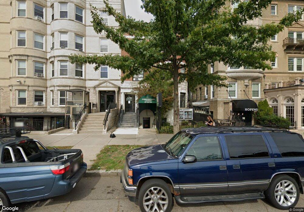
1283 Commonwealth Ave Allston, MA 02134
Commonwealth NeighborhoodEstimated Value: $2,554,530
About This Home
BEUTIFUL PLACE LOCATED AT 1283 COMMONWEALTH AVE, BOSTON, MA 02134
252615 533
Ownership History
We collect this data history from publicly available records. To have your information removed, we recommend requesting removal directly through your county’s website.
Purchase Details
Home Values in the Area
Average Home Value in this Area
Purchase History
We collect this data history from publicly available records. To have your information removed, we recommend requesting removal directly through your county’s website.
| Date | Buyer | Sale Price | Title Company |
|---|---|---|---|
| $1,185,000 | -- |
Mortgage History
We collect this data history from publicly available records. To have your information removed, we recommend requesting removal directly through your county’s website.
| Date | Status | Borrower | Loan Amount |
|---|---|---|---|
| Open | $19,600,000 | ||
| Closed | -- | ||
| Previous Owner | $35,000 |
Property History
We collect this data history from publicly available records. To have your information removed, we recommend requesting removal directly through your county’s website.
| Date | Event | Price | List to Sale | Price per Sq Ft |
|---|---|---|---|---|
| 10/08/2024 10/08/24 | Off Market | $3,200 | -- | -- |
| 10/08/2024 10/08/24 | Off Market | $3,200 | -- | -- |
| 09/01/2024 09/01/24 | For Rent | $3,200 | 0.0% | -- |
| 08/31/2024 08/31/24 | For Rent | $3,200 | -- | -- |
Tax History
We collect this data history from publicly available records. To have your information removed, we recommend requesting removal directly through your county’s website.
| Year | Tax Paid | Tax Assessment Tax Assessment Total Assessment is a certain percentage of the fair market value that is determined by local assessors to be the total taxable value of land and additions on the property. | Land | Improvement |
|---|---|---|---|---|
| 2025 | -- | $1,569,400 | $372,800 | $1,196,600 |
| 2024 | -- | $1,590,800 | $372,800 | $1,218,000 |
| 2023 | $0 | $1,638,000 | $372,800 | $1,265,200 |
| 2022 | $0 | $1,456,900 | $372,800 | $1,084,100 |
| 2021 | $0 | $1,440,900 | $295,600 | $1,145,300 |
| 2020 | $0 | $1,366,000 | $295,600 | $1,070,400 |
| 2019 | $0 | $1,314,000 | $295,600 | $1,018,400 |
| 2018 | $0 | $1,254,500 | $283,200 | $971,300 |
| 2017 | $0 | $1,203,000 | $271,000 | $932,000 |
| 2016 | -- | $1,073,000 | $250,400 | $822,600 |
| 2015 | -- | $910,500 | $328,400 | $582,100 |
| 2014 | -- | $832,000 | $279,100 | $552,900 |
Map
- 1269 Commonwealth Ave Unit 11
- 5 Spofford Rd Unit 17
- 39 Glenville Ave Unit 71
- 30 Glenville Ave Unit 1
- 1263 Commonwealth Ave Unit 4
- 1254 Commonwealth Ave Unit 15
- 78 Glenville Ave Unit 9
- 61 Quint Ave Unit 8
- 16 Glenville Ave Unit 1
- 59 Brainerd Rd Unit 205
- 21 Park Vale Ave Unit 2
- 108 Allston St Unit 1
- 108 Allston St Unit 2
- 85 Brainerd Rd Unit 415
- 85 Brainerd Rd Unit 505
- 131 Glenville Ave Unit 131
- 80 Verndale St Unit 80
- 80 Verndale St
- 514 Harvard St Unit 2D
- 10 Scottfield Rd Unit 2
- 1283 Commonwealth Ave Unit 1
- 1283 Commonwealth Ave Unit 711
- 1283 Commonwealth Ave Unit 7B
- 1283 Commonwealth Ave
- 1283 Commonwealth Ave Unit 8B
- 1283 Commonwealth Ave Unit 6B
- 1283 Commonwealth Ave Unit 1283
- 1283 Commonwealth Ave Unit 5
- 1283 Commonwealth Ave Unit 3
- 1283 Commonwealth Ave Unit 2
- 1283 Commonwealth Ave Unit 4
- 1285 Commonwealth Ave
- 1287 Commonwealth Ave
- 1277 Commonwealth Ave
- 1277 Commonwealth Ave Unit 210
- 1277 Commonwealth Ave Unit 302
- 1277 Commonwealth Ave Unit 412
- 1277 Commonwealth Ave Unit 112
- 1277 Commonwealth Ave Unit 307
- 1277 Commonwealth Ave Unit 110
Ask me questions while you tour the home.