12878 SW Killpack Ln Beaverton, OR 97005
Estimated Value: $667,181 - $724,000
About This Home
This home is located at 12878 SW Killpack Ln, Beaverton, OR 97005 and is currently estimated at $692,295, approximately $279 per square foot. 12878 SW Killpack Ln is a home located in Washington County with nearby schools including Ridgewood Elementary School, Cedar Park Middle School, and Beaverton High School.
Ownership History
We collect this data history from publicly available records. To have your information removed, we recommend requesting removal directly through your county’s website.
Purchase Details
Home Financials for this Owner
Home Financials are based on the most recent Mortgage that was taken out on this home.Purchase Details
Purchase Details
Home Financials for this Owner
Home Financials are based on the most recent Mortgage that was taken out on this home.Home Values in the Area
Average Home Value in this Area
Purchase History
We collect this data history from publicly available records. To have your information removed, we recommend requesting removal directly through your county’s website.
| Date | Buyer | Sale Price | Title Company |
|---|---|---|---|
| $409,000 | Fidelity Natl Title Co Of Or | ||
| $359,000 | First American | ||
| $130,000 | Fatco |
Mortgage History
We collect this data history from publicly available records. To have your information removed, we recommend requesting removal directly through your county’s website.
| Date | Status | Borrower | Loan Amount |
|---|---|---|---|
| Open | $300,000 | ||
| Previous Owner | $130,000 |
Tax History
We collect this data history from publicly available records. To have your information removed, we recommend requesting removal directly through your county’s website.
| Year | Tax Paid | Tax Assessment Tax Assessment Total Assessment is a certain percentage of the fair market value that is determined by local assessors to be the total taxable value of land and additions on the property. | Land | Improvement |
|---|---|---|---|---|
| 2026 | $8,475 | $461,940 | -- | -- |
| 2025 | $8,122 | $448,490 | -- | -- |
| 2024 | $7,627 | $435,430 | -- | -- |
| 2023 | $7,627 | $422,750 | $0 | $0 |
| 2022 | $7,379 | $422,750 | $0 | $0 |
| 2021 | $7,114 | $398,490 | $0 | $0 |
| 2020 | $6,899 | $386,890 | $0 | $0 |
| 2019 | $6,674 | $375,630 | $0 | $0 |
| 2018 | $6,456 | $364,690 | $0 | $0 |
| 2017 | $6,224 | $354,070 | $0 | $0 |
| 2016 | $6,002 | $343,760 | $0 | $0 |
| 2015 | $5,770 | $333,750 | $0 | $0 |
| 2014 | $5,522 | $324,030 | $0 | $0 |
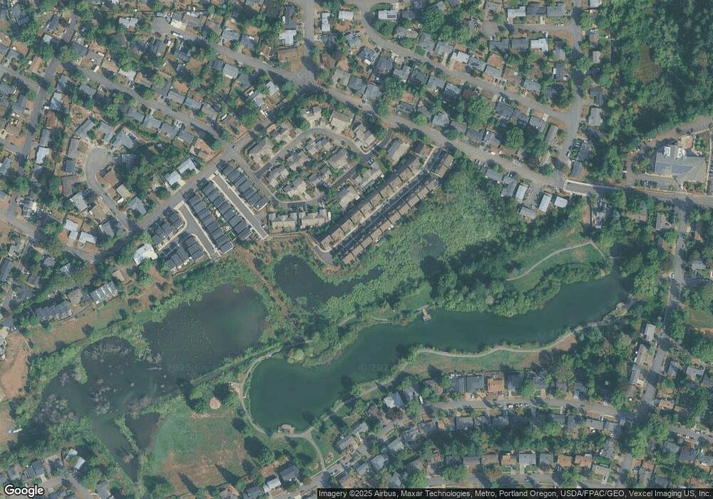
Map
- 13100 SW Butner Ct
- 12955 SW Evergreen St
- 965 SW Tropicana Ave
- 855 SW Spring Ln
- 12225 SW Spring Ct
- 13467 SW Devonshire Dr
- 13520 SW Devonshire Dr
- 14095 SW Walker Rd Unit 95
- 14095 SW Walker Rd
- 14095 SW Walker Rd Unit 71
- 11990 SW Corby Dr Unit 16
- 11990 SW Corby Dr Unit 2
- 1865 SW Wellington Ave
- 1885 SW Huntington Ave
- 13860 SW Butner Rd
- 12125 SW Lynnridge Ave
- 11850 SW Foothill Dr
- 11865 SW Belvidere Place
- 12735 SW Edgewood St
- 12616 NW Barnes Rd Unit 7
- 12866 SW Killpack Ln
- 12894 SW Killpack Ln
- 12852 SW Killpack Ln
- 12885 SW Killpack Ln
- 12871 SW Killpack Ln
- 12899 SW Killpack Ln
- 12857 SW Killpack Ln
- 12838 SW Killpack Ln
- 12845 SW Killpack Ln
- 12960 SW Aragon St
- 12940 SW Aragon St
- 12826 SW Killpack Ln
- 12835 SW Killpack Ln
- 12980 SW Aragon St
- 12920 SW Aragon St
- 12814 SW Killpack Ln
- 12819 SW Killpack Ln
- 12900 SW Aragon St
- 13000 SW Aragon St
- 12800 SW Killpack Ln
Ask me questions while you tour the home.