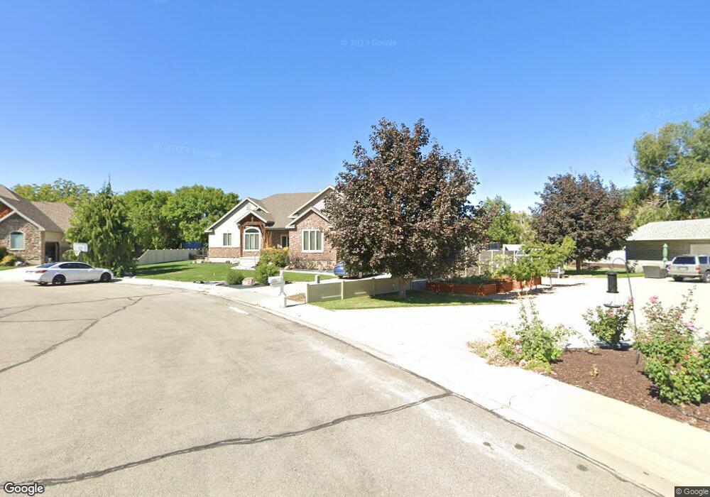
1288 W 1500 N Mapleton, UT 84664
Estimated Value: $803,000 - $933,000
3
Beds
5
Baths
2,594
Sq Ft
$339/Sq Ft
Est. Value
About This Home
This home is located at 1288 W 1500 N, Mapleton, UT 84664 and is currently estimated at $878,617, approximately $338 per square foot. 1288 W 1500 N is a home located in Utah County with nearby schools including Mapleton School, Mapleton Junior High School, and Maple Mountain High School.
Ownership History
Date
Name
Owned For
Owner Type
Purchase Details
Closed on
Apr 12, 2005
Sold by
Green Martin S and Green Nancy N
Bought by
Green Marty and Green Nancy N
Current Estimated Value
Home Financials for this Owner
Home Financials are based on the most recent Mortgage that was taken out on this home.
Original Mortgage
$285,000
Outstanding Balance
$151,534
Interest Rate
6.25%
Mortgage Type
New Conventional
Estimated Equity
$727,083
Purchase Details
Closed on
Sep 17, 2004
Sold by
Wilson Craig L
Bought by
Green Martin S and Green Nancy N
Create a Home Valuation Report for This Property
The Home Valuation Report is an in-depth analysis detailing your home's value as well as a comparison with similar homes in the area
Home Values in the Area
Average Home Value in this Area
Purchase History
| Date | Buyer | Sale Price | Title Company |
|---|---|---|---|
| Green Marty | -- | Backman Stewart Title Servic | |
| Green Martin S | -- | Pro Title & Escrow Inc |
Source: Public Records
Mortgage History
| Date | Status | Borrower | Loan Amount |
|---|---|---|---|
| Open | Green Marty | $285,000 |
Source: Public Records
Tax History
| Year | Tax Paid | Tax Assessment Tax Assessment Total Assessment is a certain percentage of the fair market value that is determined by local assessors to be the total taxable value of land and additions on the property. | Land | Improvement |
|---|---|---|---|---|
| 2025 | $4,163 | $471,020 | -- | -- |
| 2024 | $4,163 | $407,825 | $0 | $0 |
| 2023 | $4,350 | $428,780 | $0 | $0 |
| 2022 | $4,273 | $416,515 | $0 | $0 |
| 2021 | $3,639 | $544,600 | $164,100 | $380,500 |
| 2020 | $3,632 | $525,700 | $145,200 | $380,500 |
| 2019 | $3,183 | $470,300 | $139,400 | $330,900 |
| 2018 | $3,187 | $448,300 | $117,400 | $330,900 |
| 2017 | $3,229 | $241,065 | $0 | $0 |
| 2016 | $3,183 | $236,225 | $0 | $0 |
| 2015 | $2,995 | $220,935 | $0 | $0 |
| 2014 | $2,932 | $212,355 | $0 | $0 |
Source: Public Records
Map
Nearby Homes
- 1410 W 1200 N
- 1121 W 1800 N
- 405 W 1200 N Unit 4
- 487 W 1200 N Unit 1
- 1403 S 625 E
- 1518 S 600 E
- 598 W 1600 N
- 1525 S 400 E Unit 36
- 1697 N 500 W
- 1853 S 375 E
- 1446 W 600 N Unit 5
- 1512 W 600 N Unit 4
- 1836 W 800 N
- 1896 W 800 N
- 1264 E 1150 S
- 1631 W Century Ln Unit B
- 667 N 550 W
- 641 N Heritage St Unit 8
- 657 N Heritage St Unit 9
- 683 N Heritage St
Your Personal Tour Guide
Ask me questions while you tour the home.